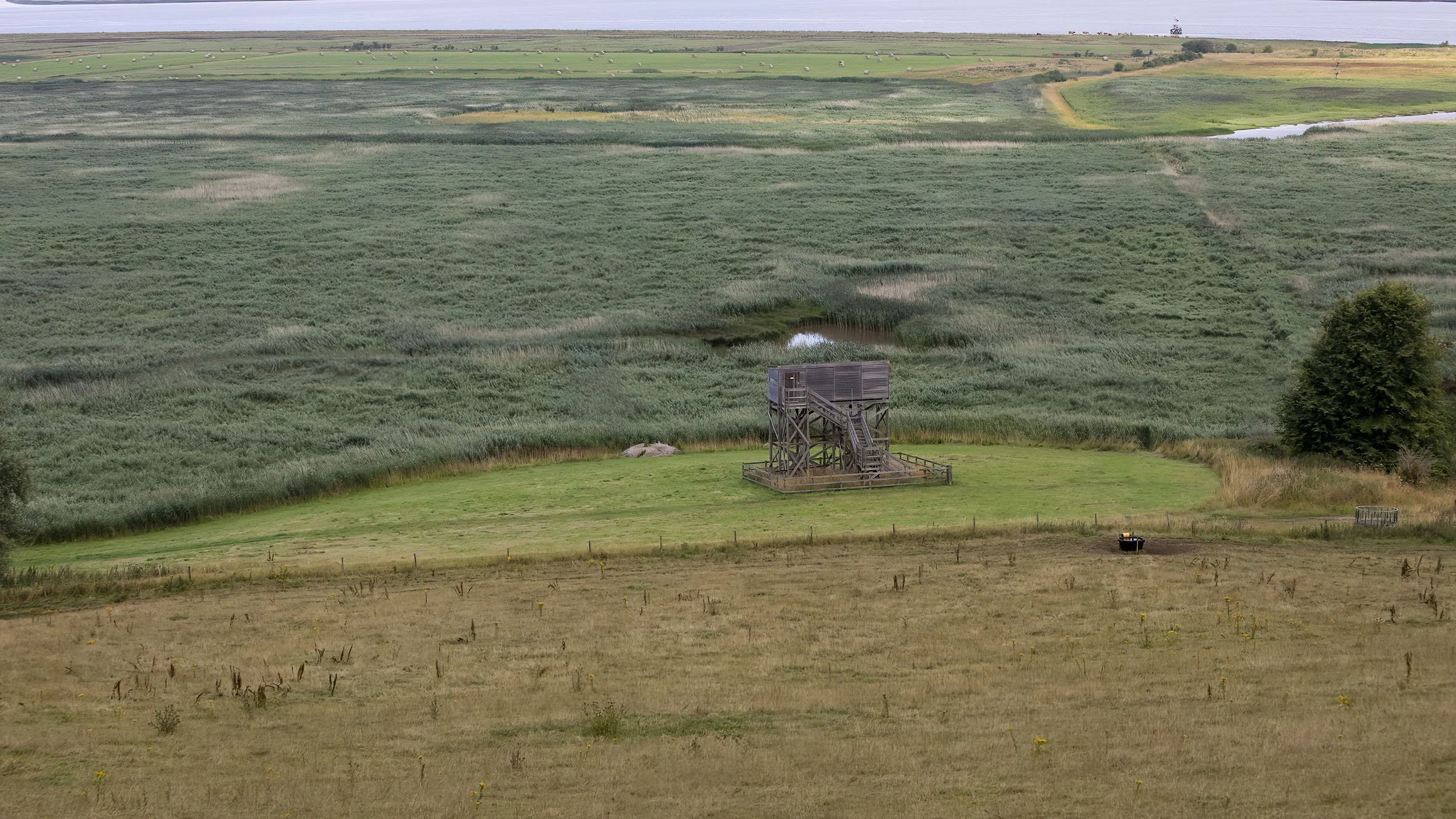
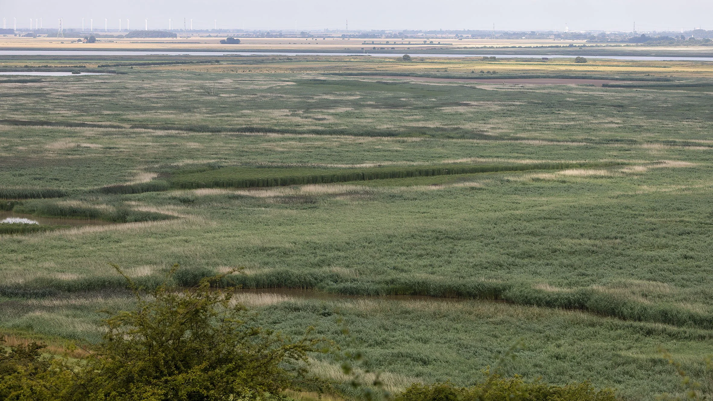
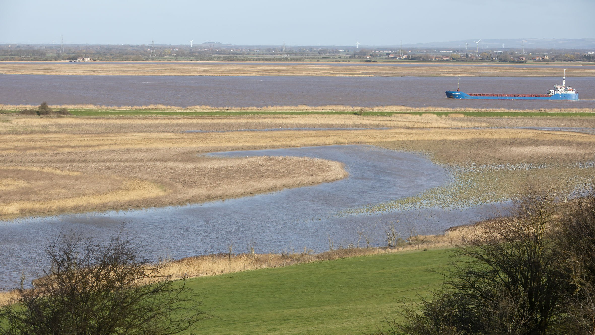
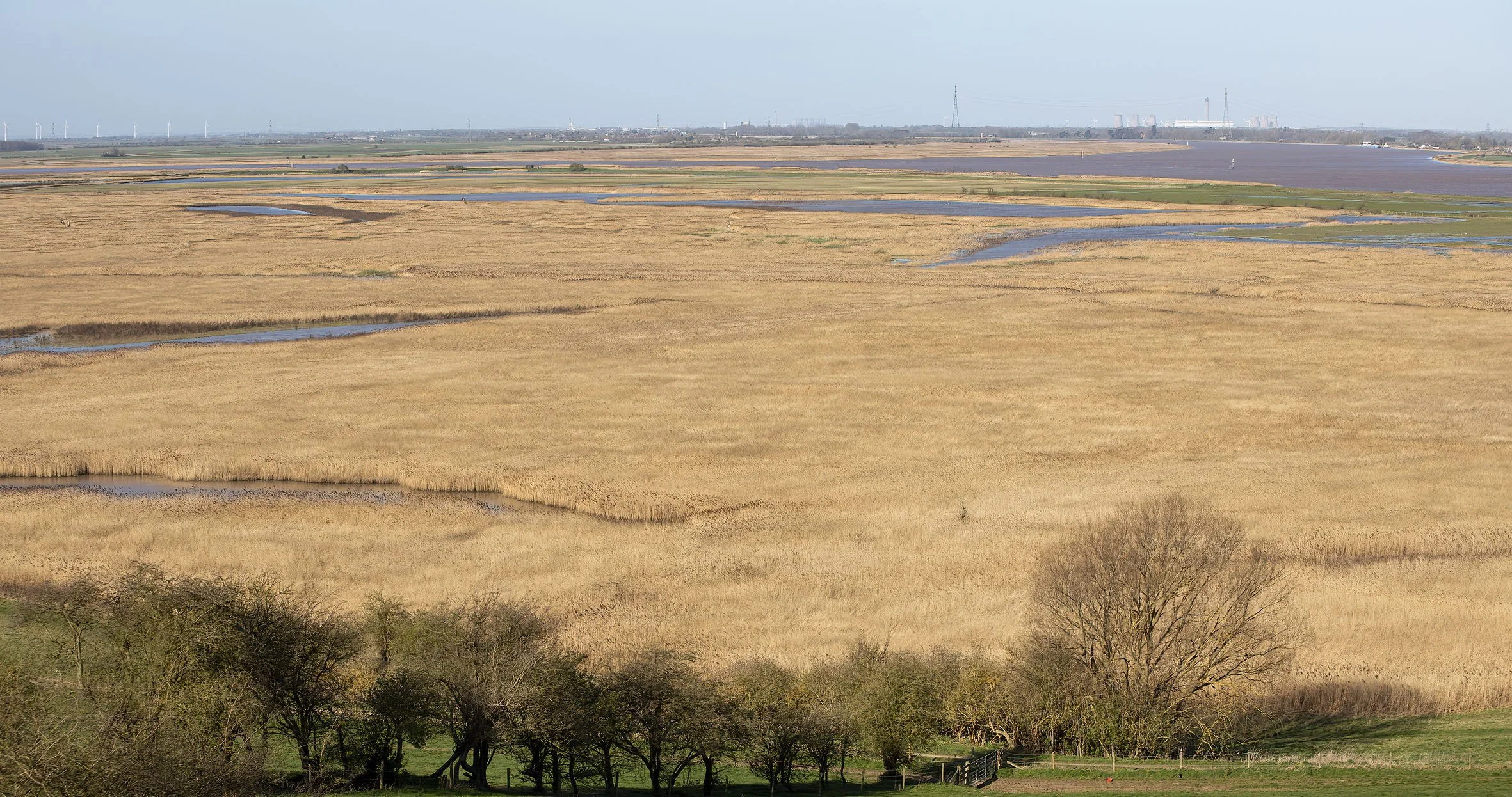
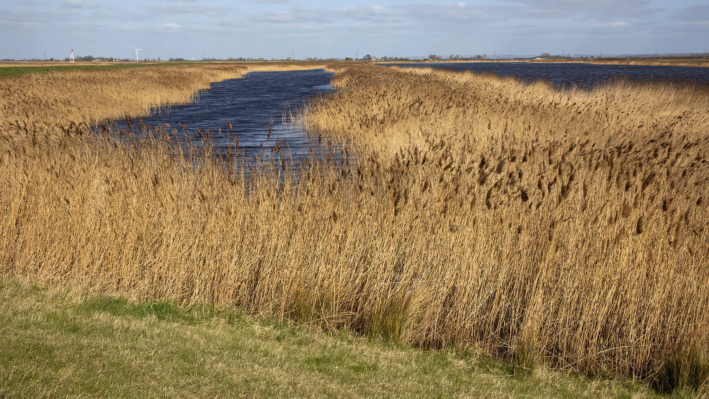
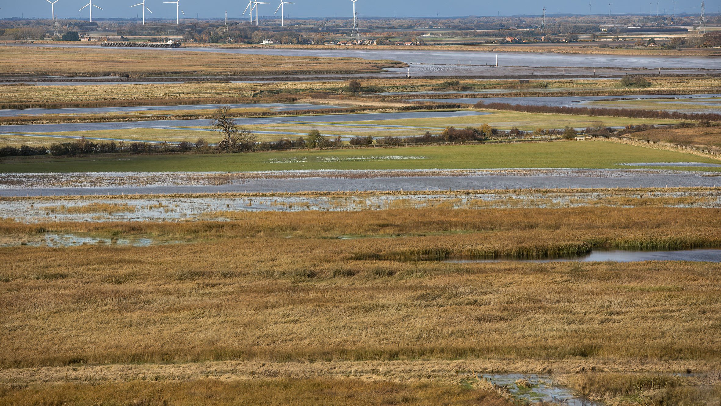
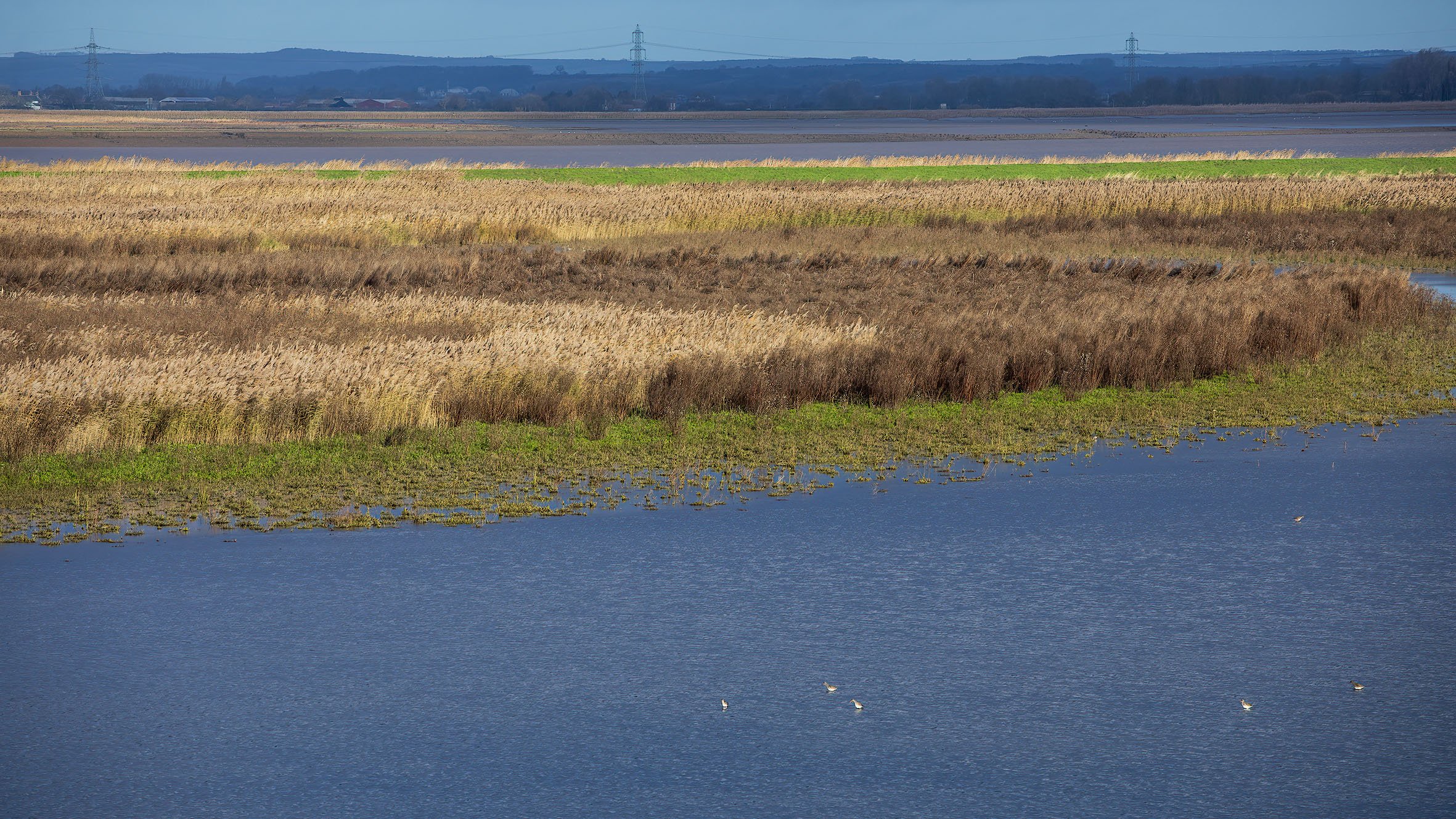
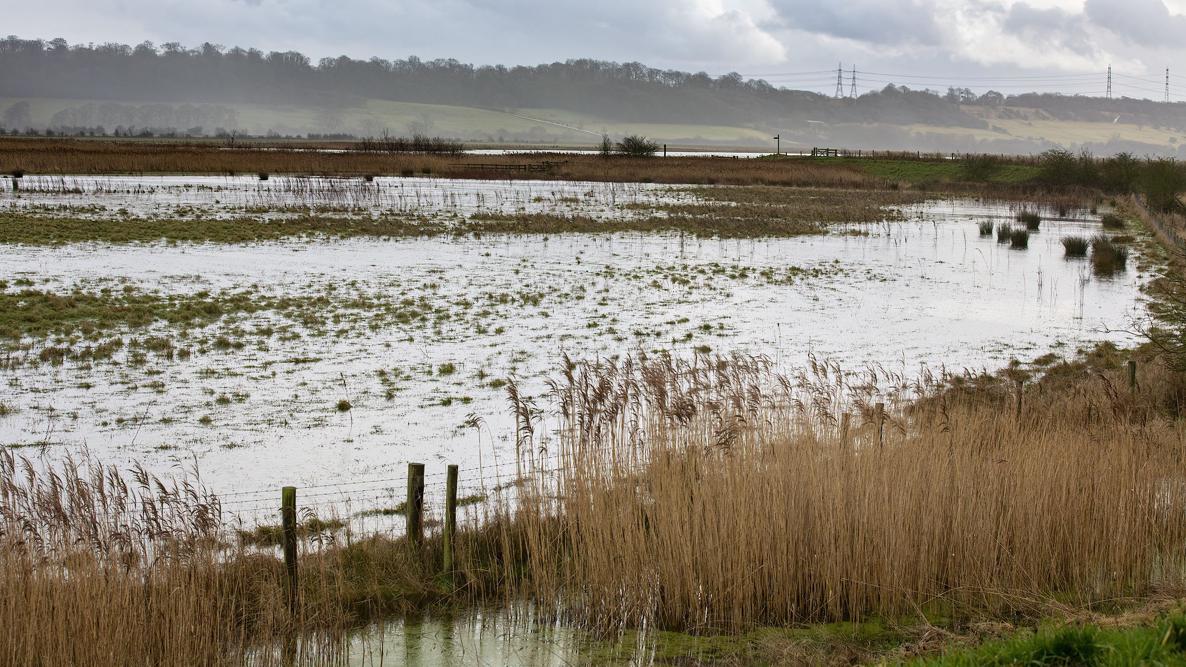
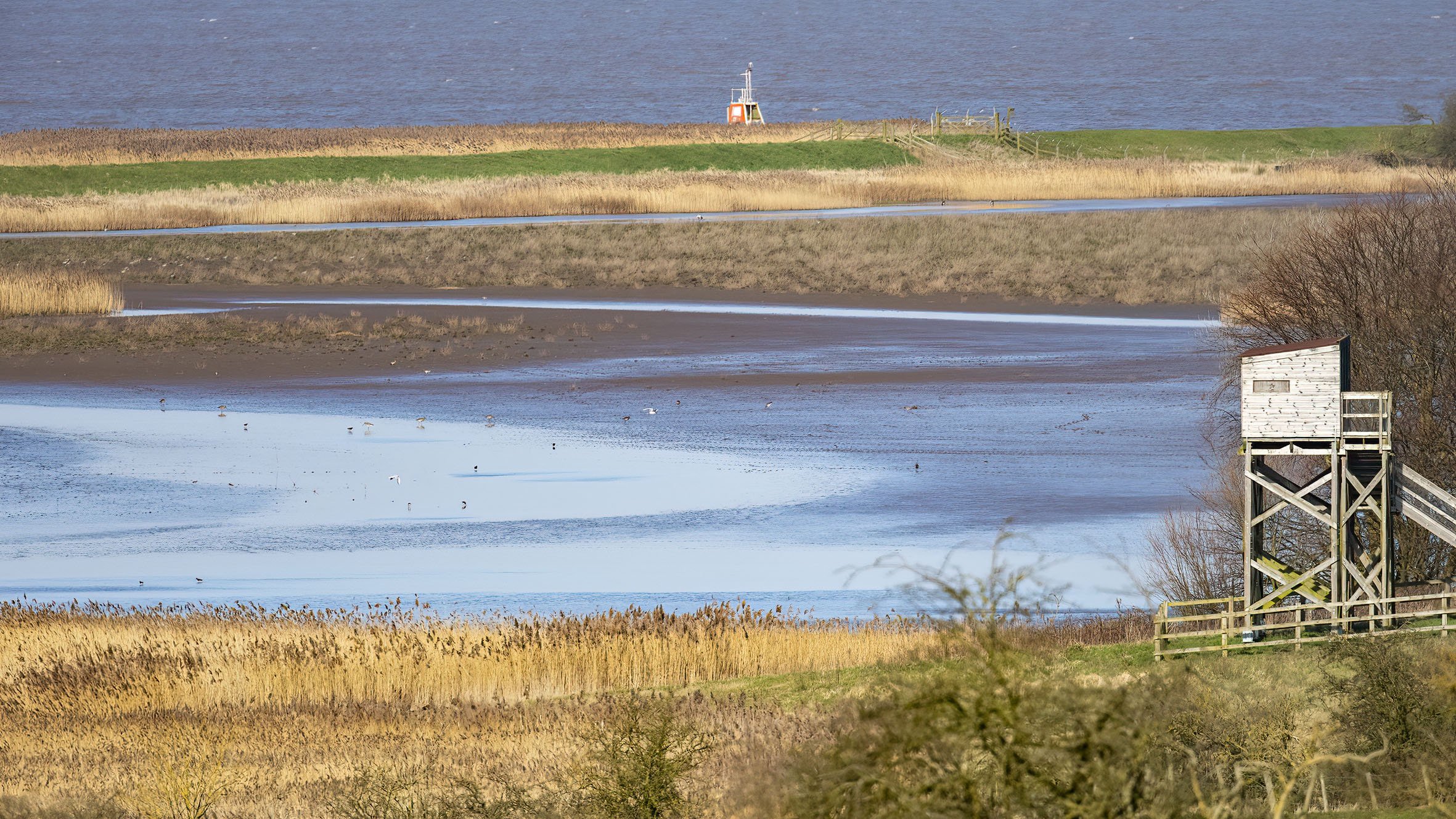
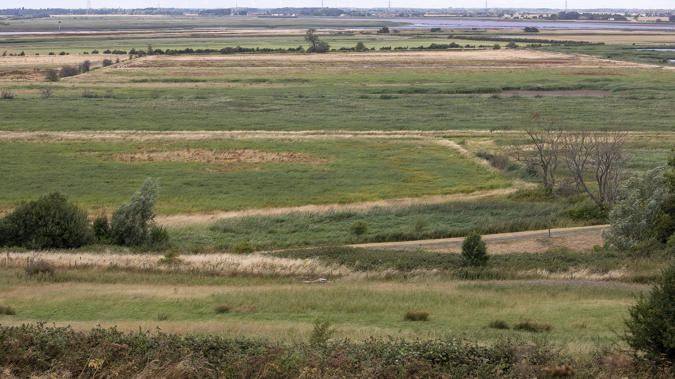
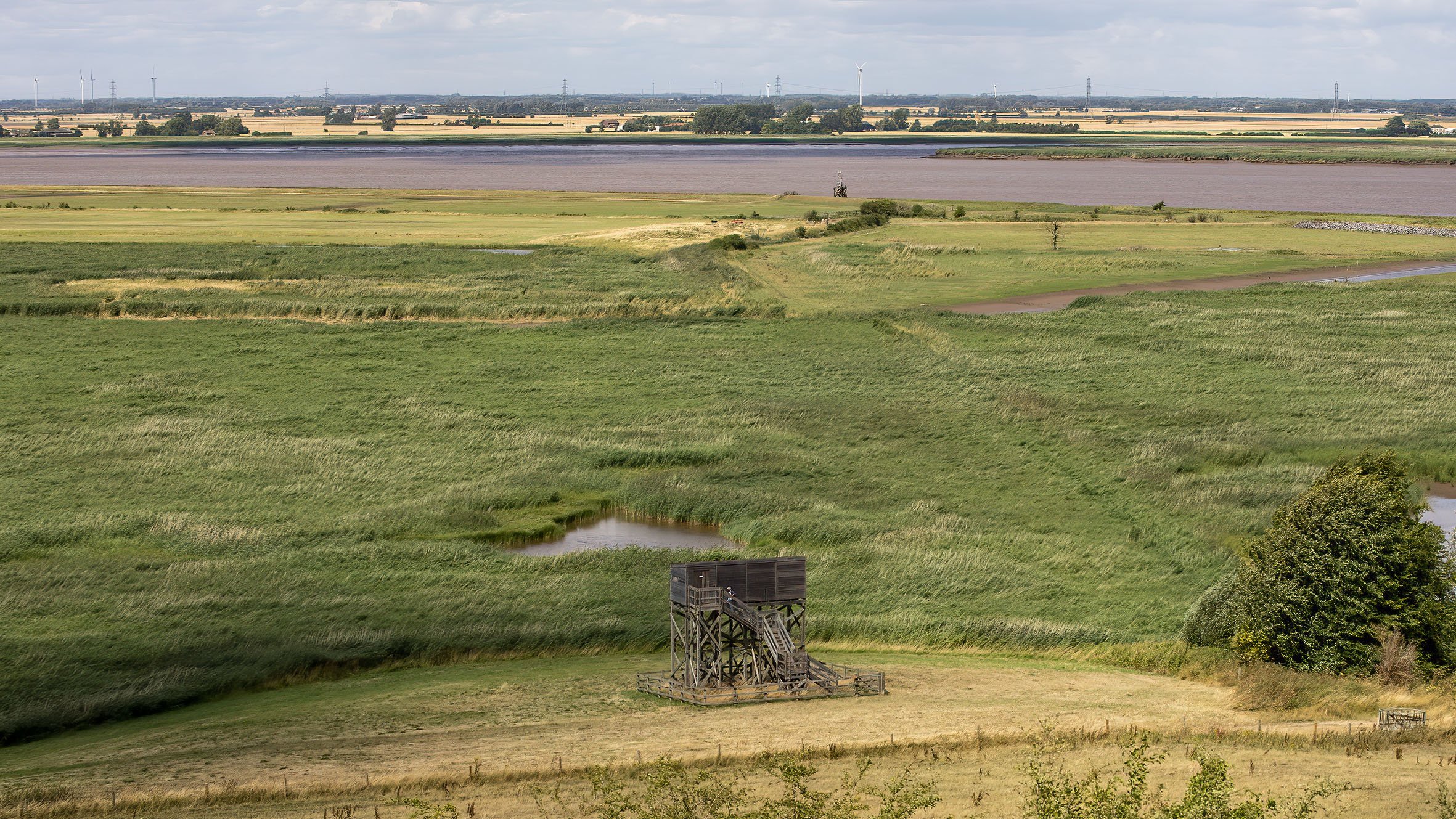
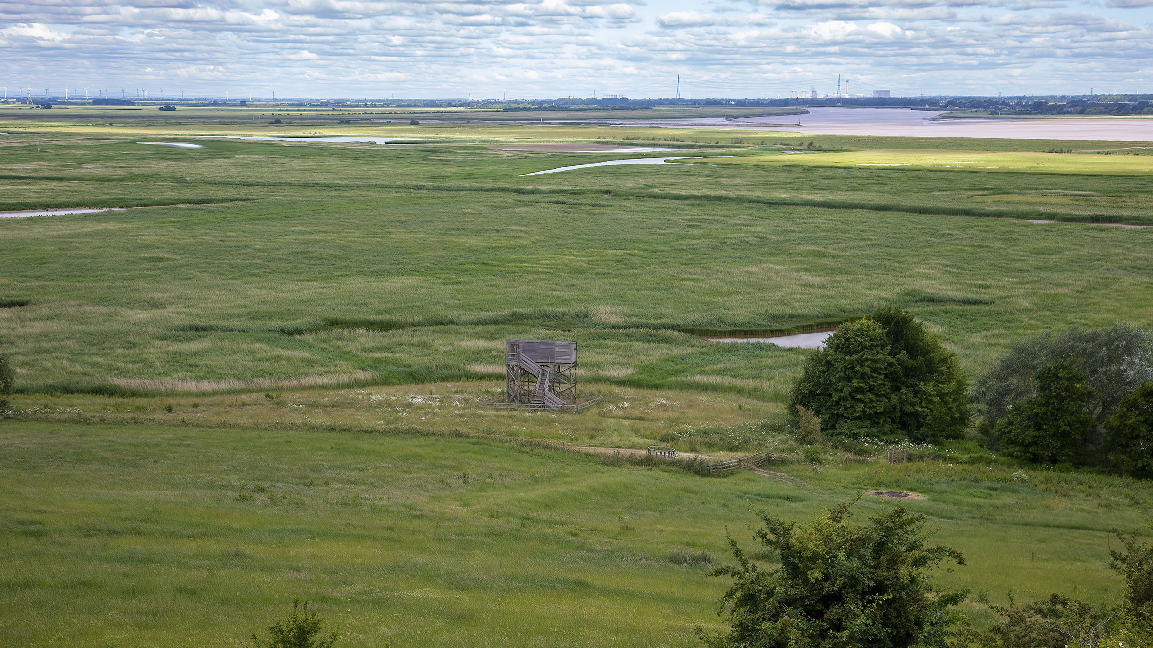
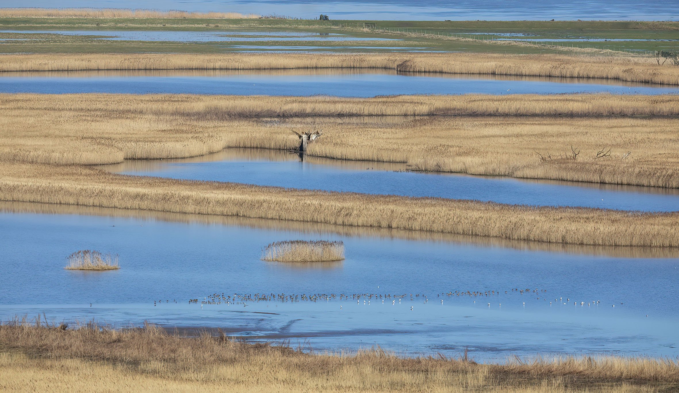
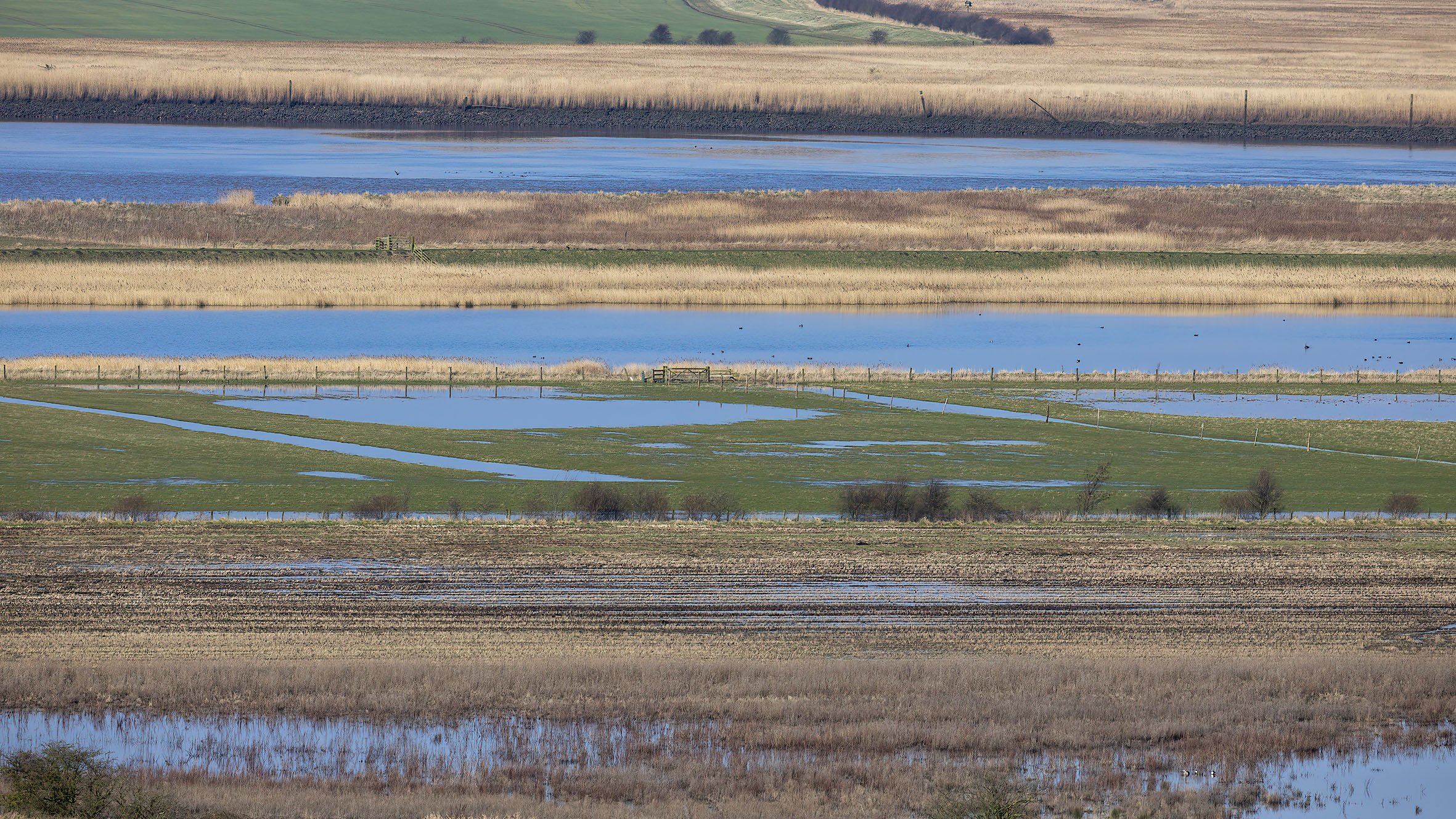
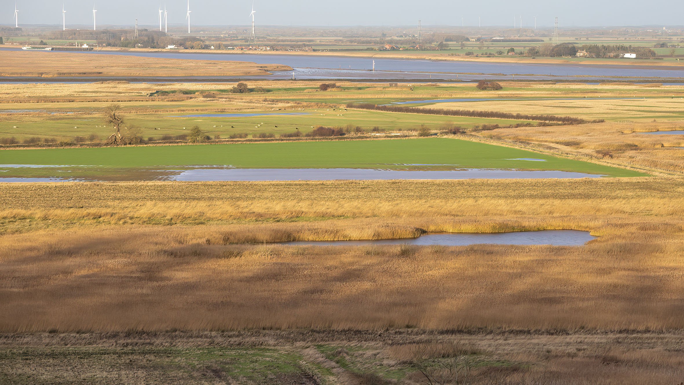
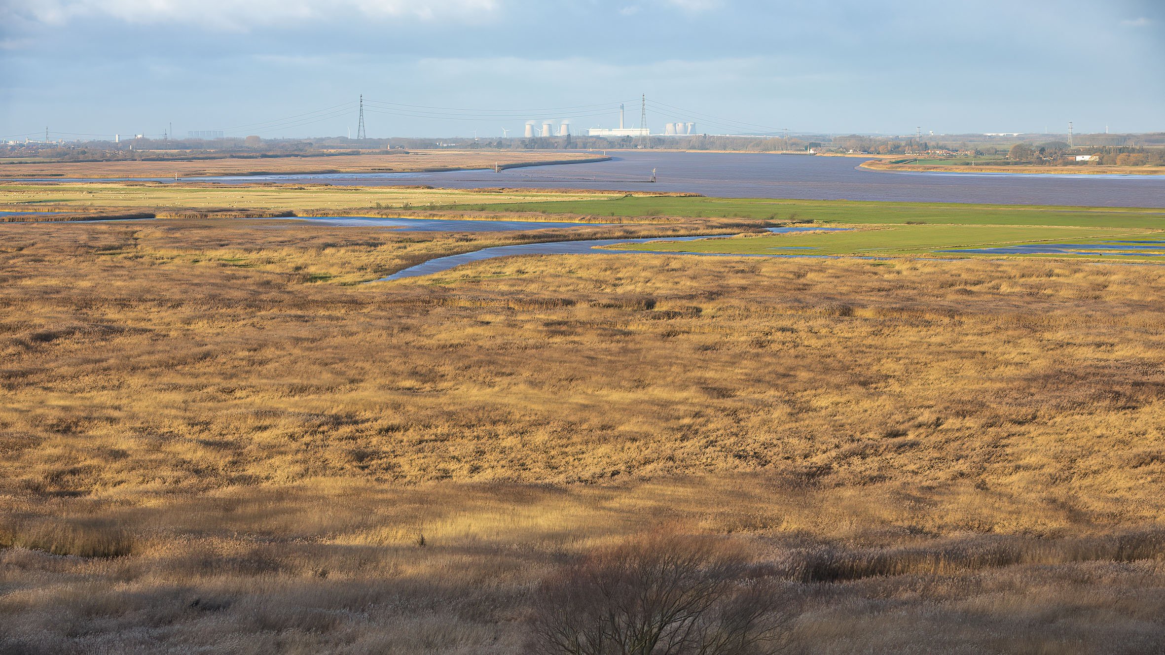
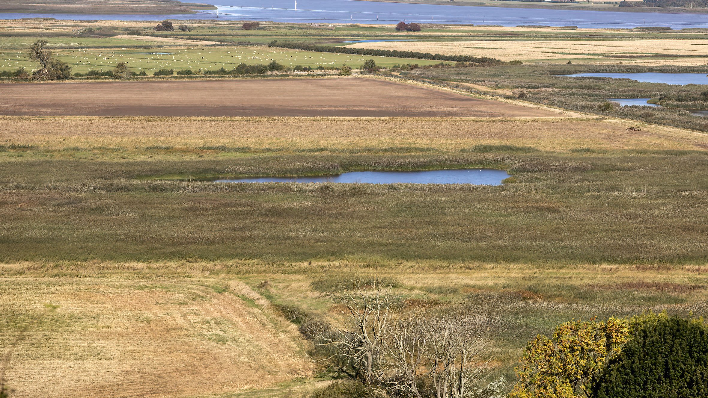
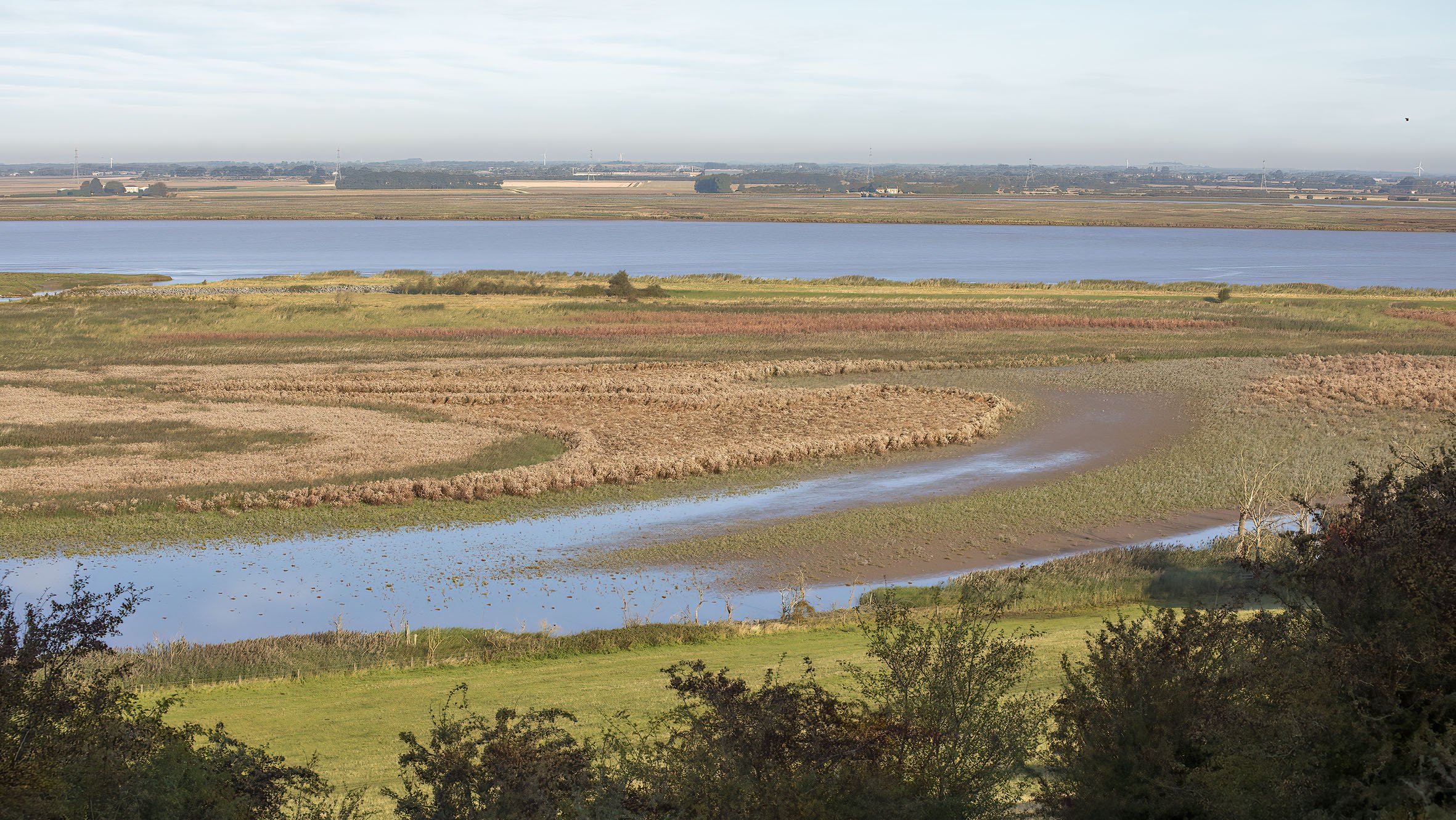
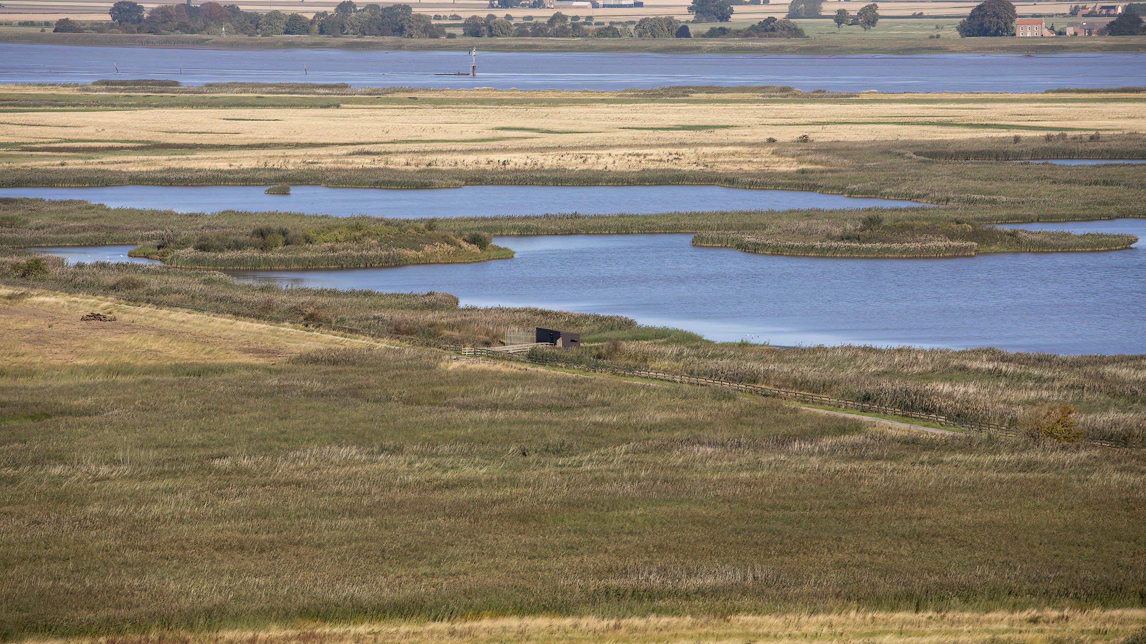
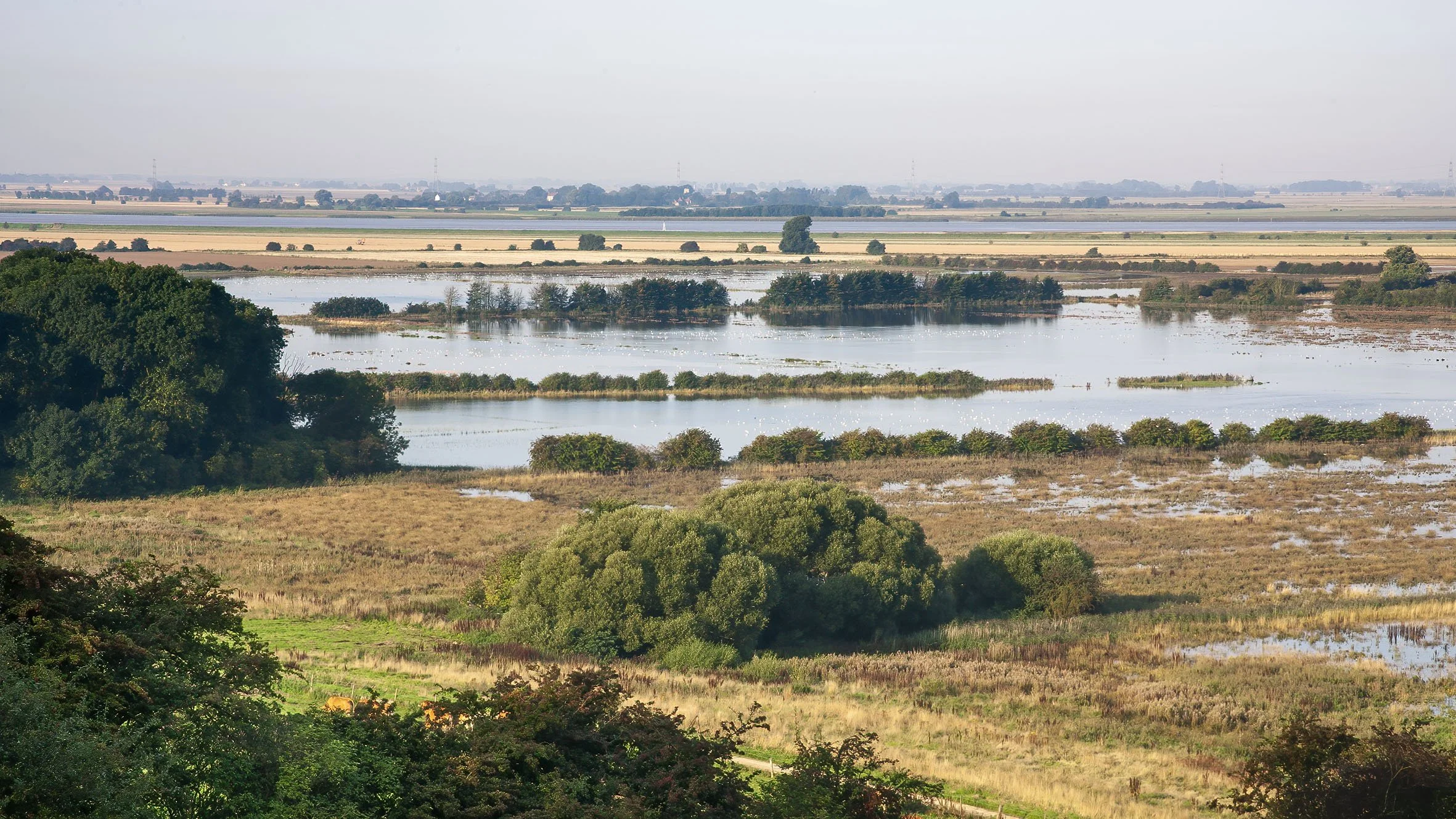
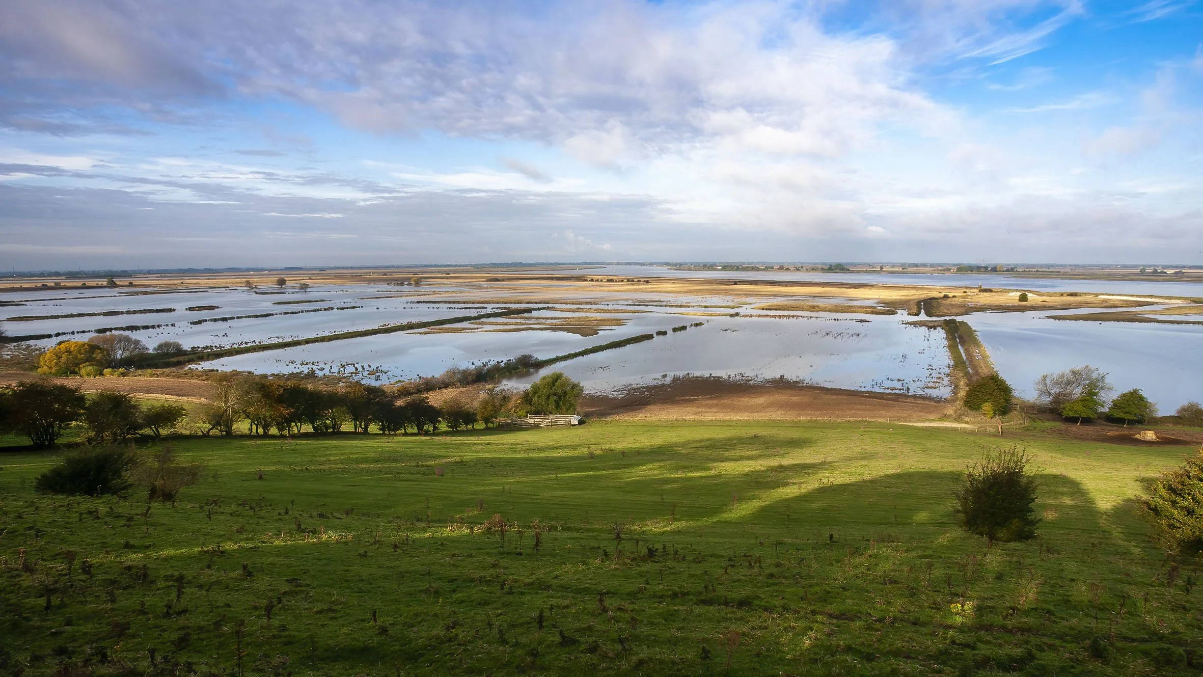
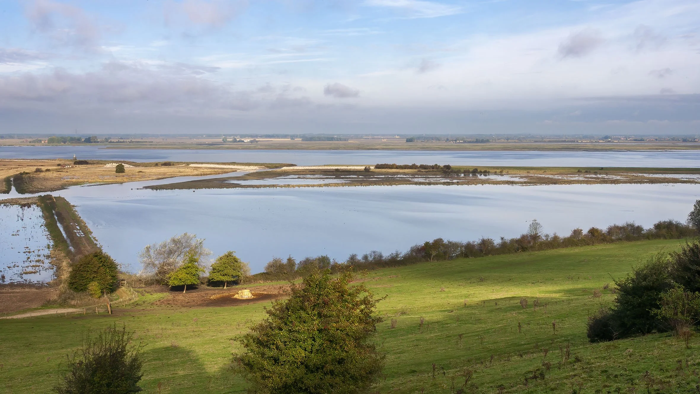
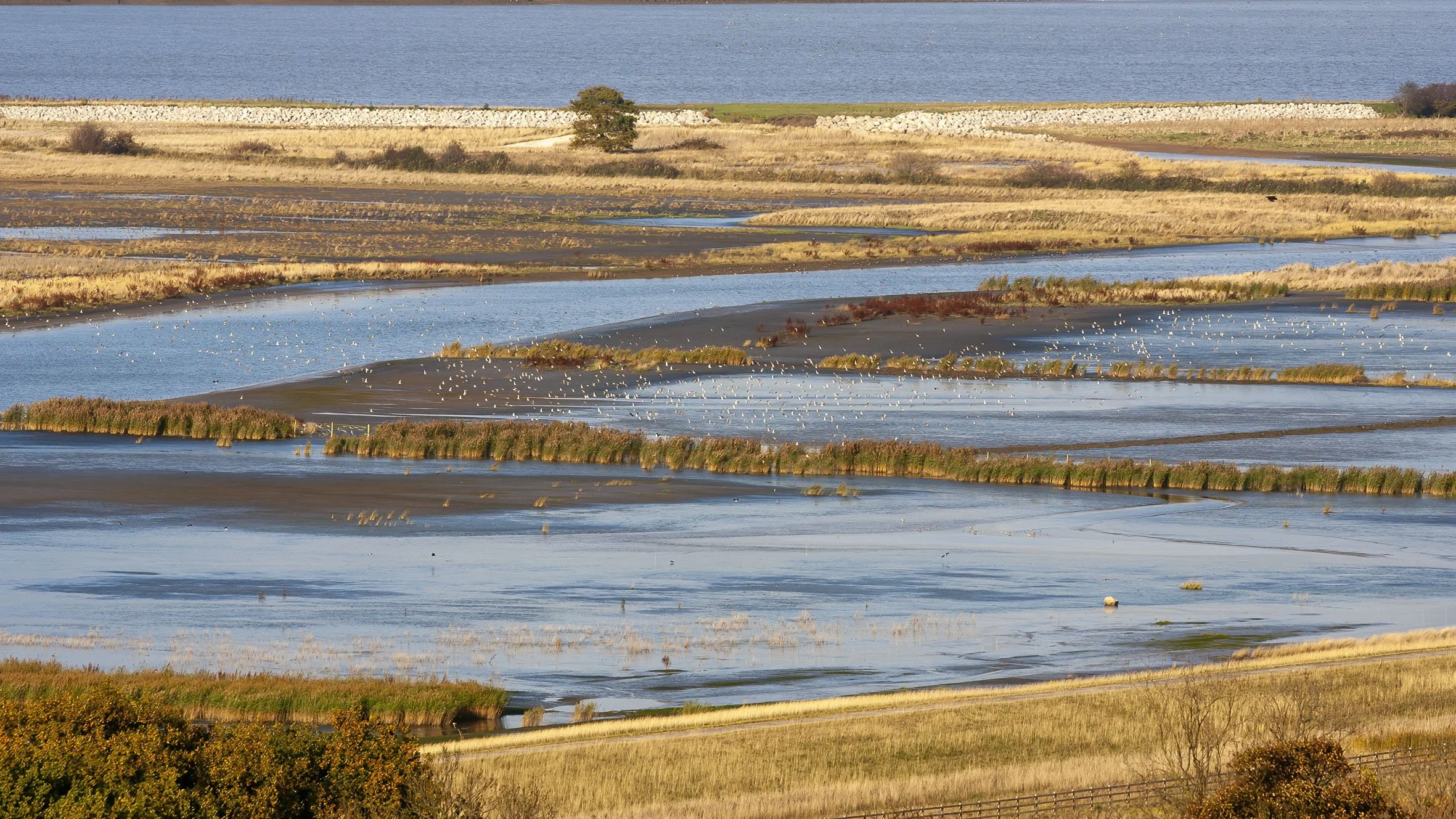
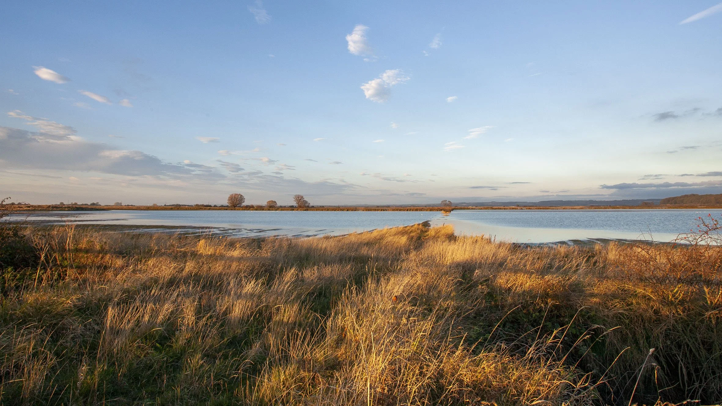
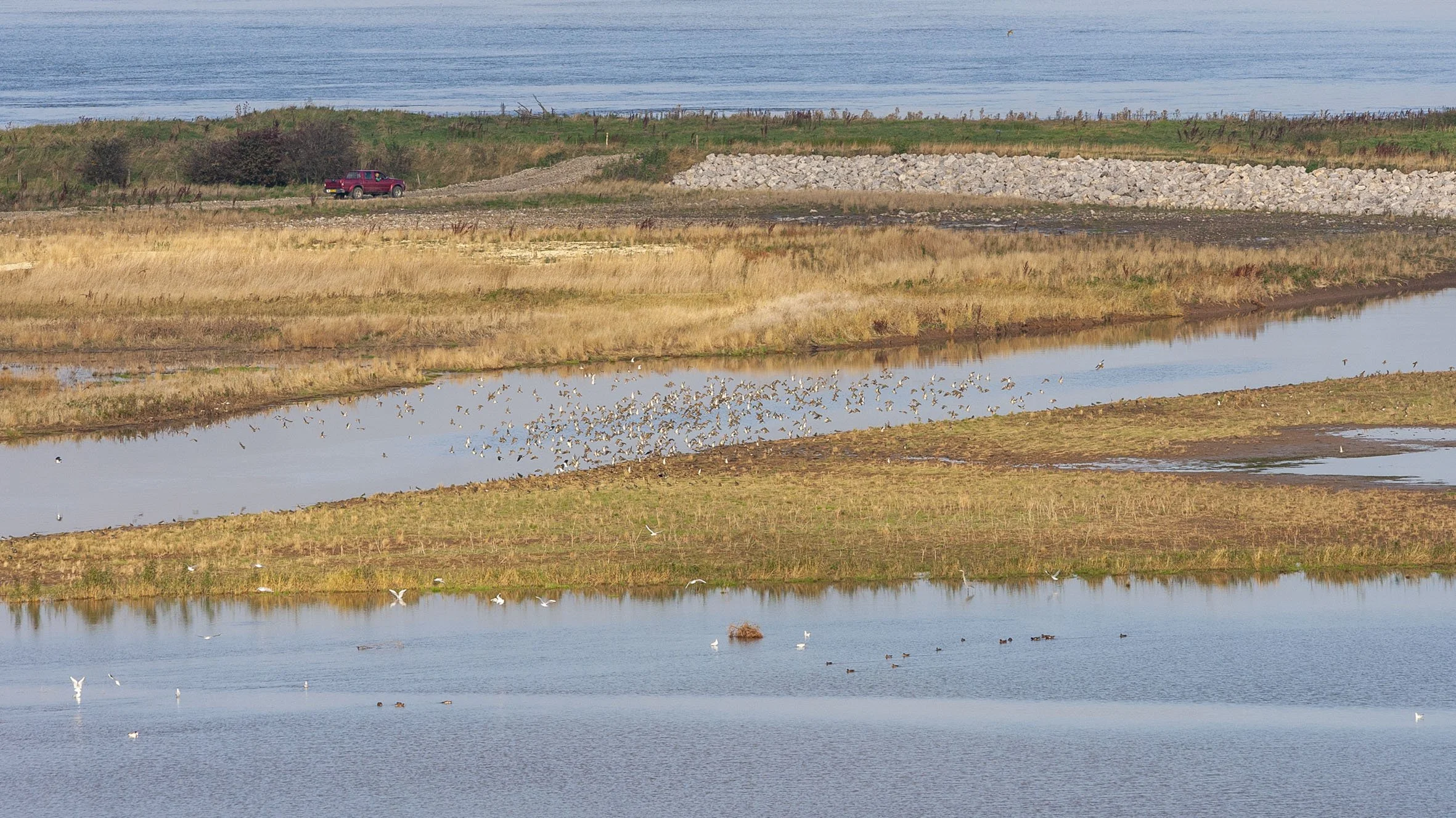
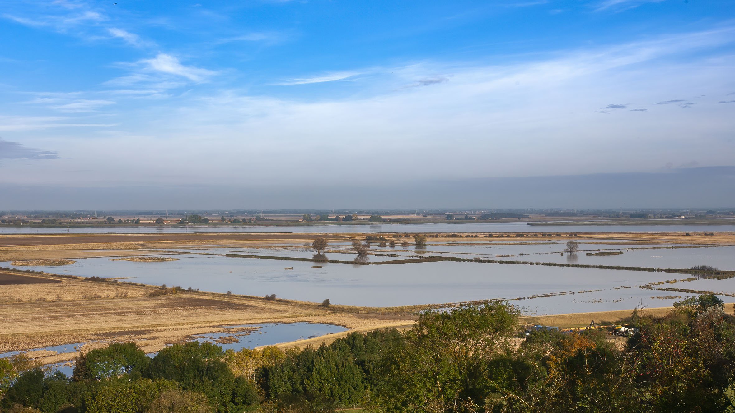
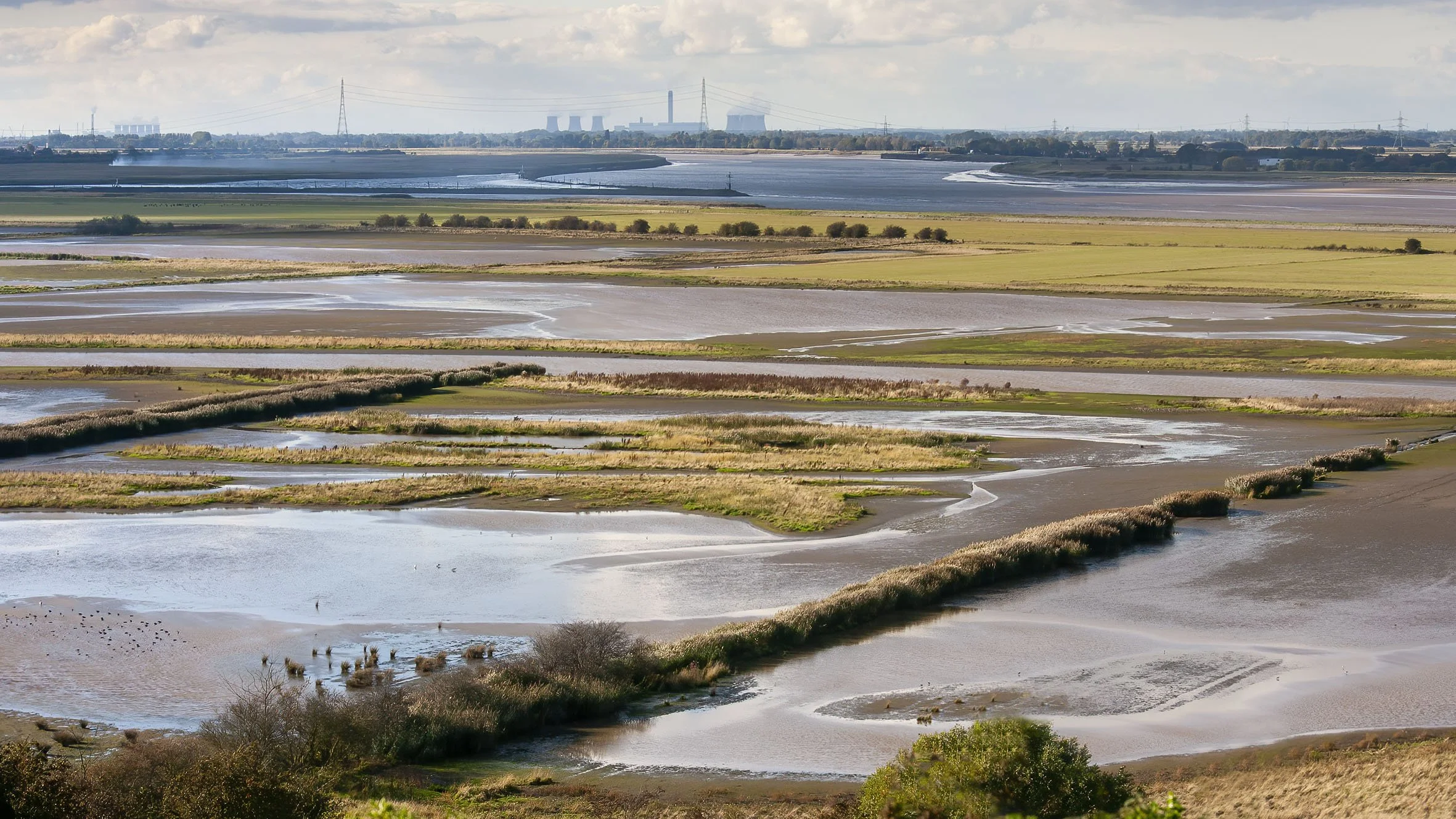
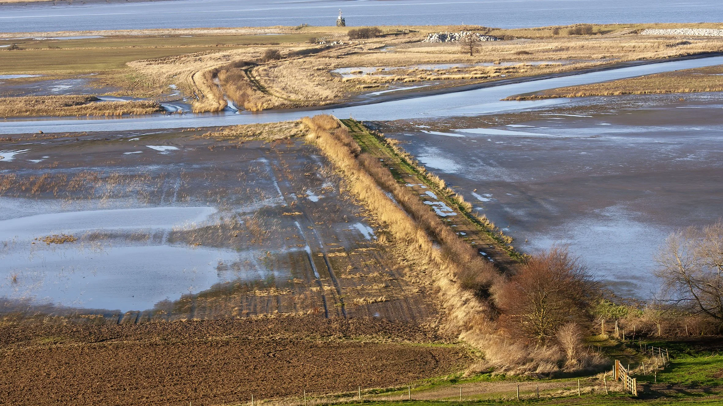
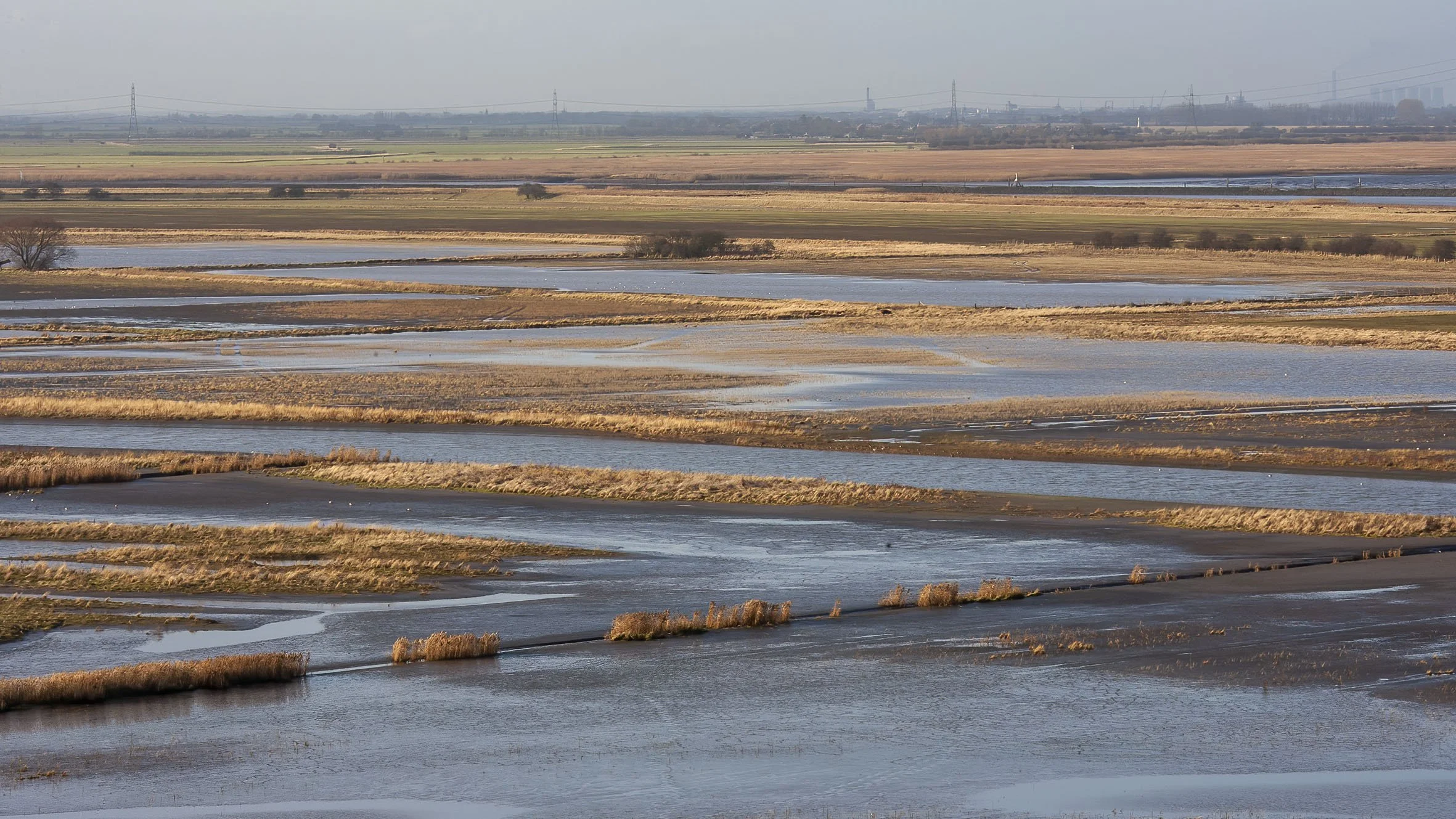
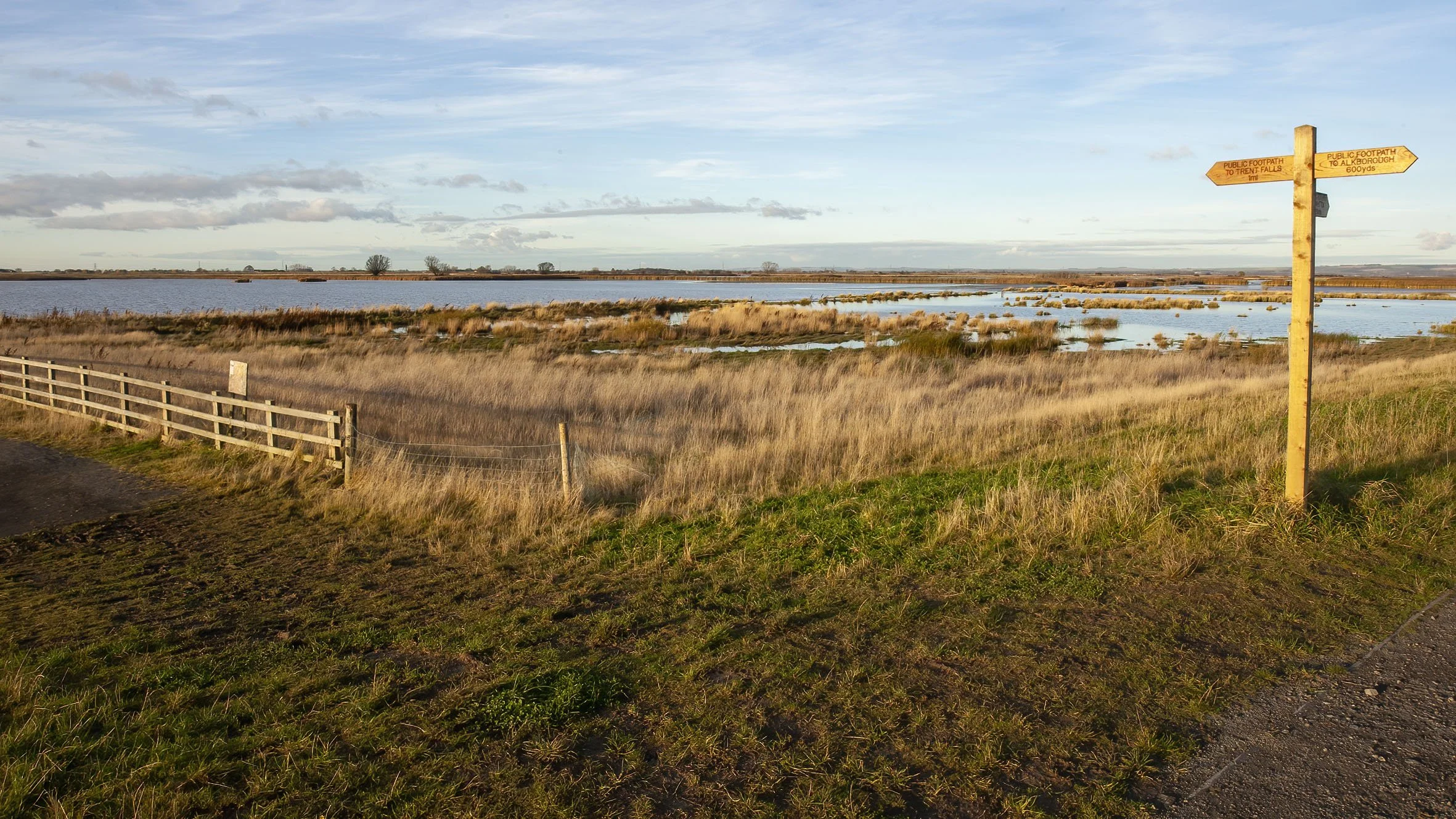
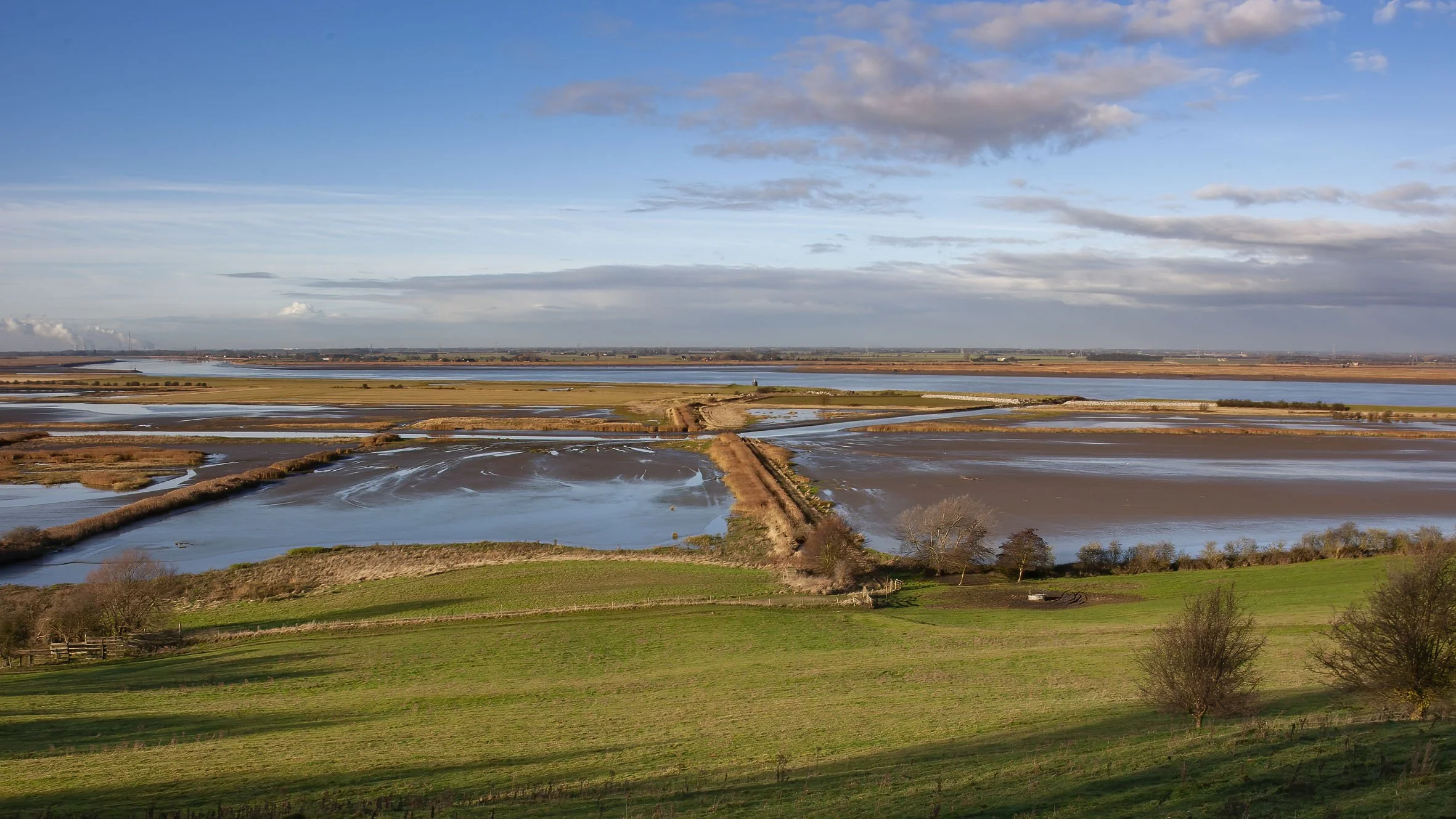
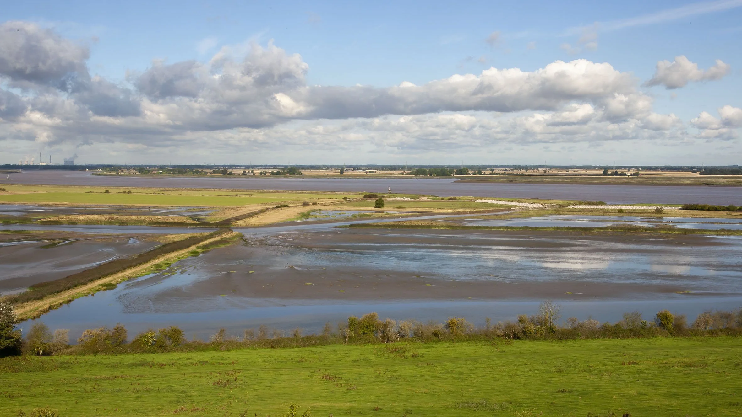
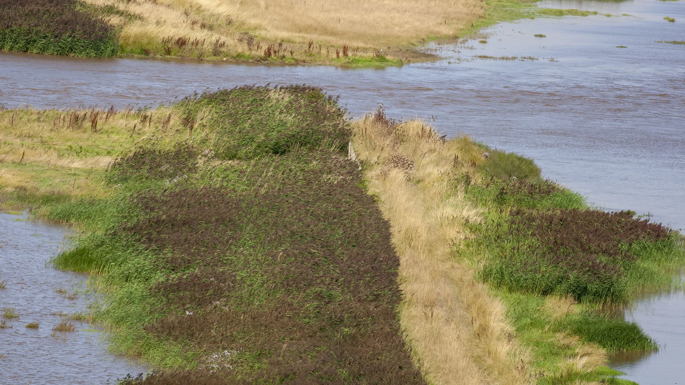
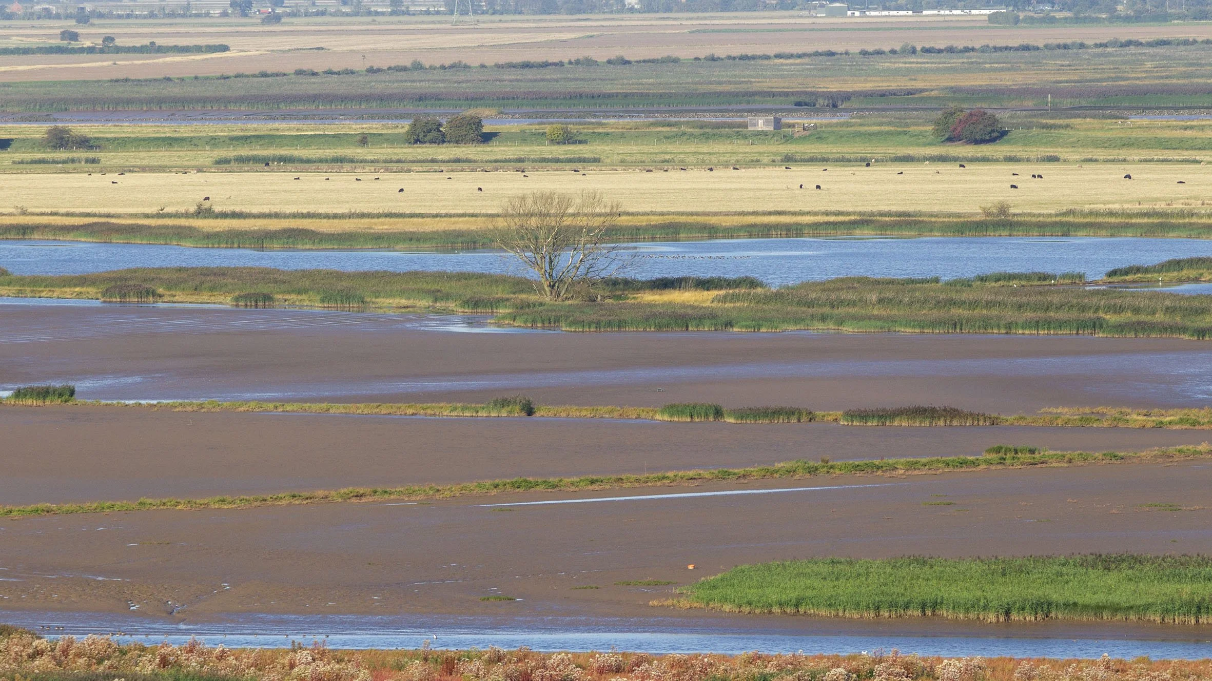
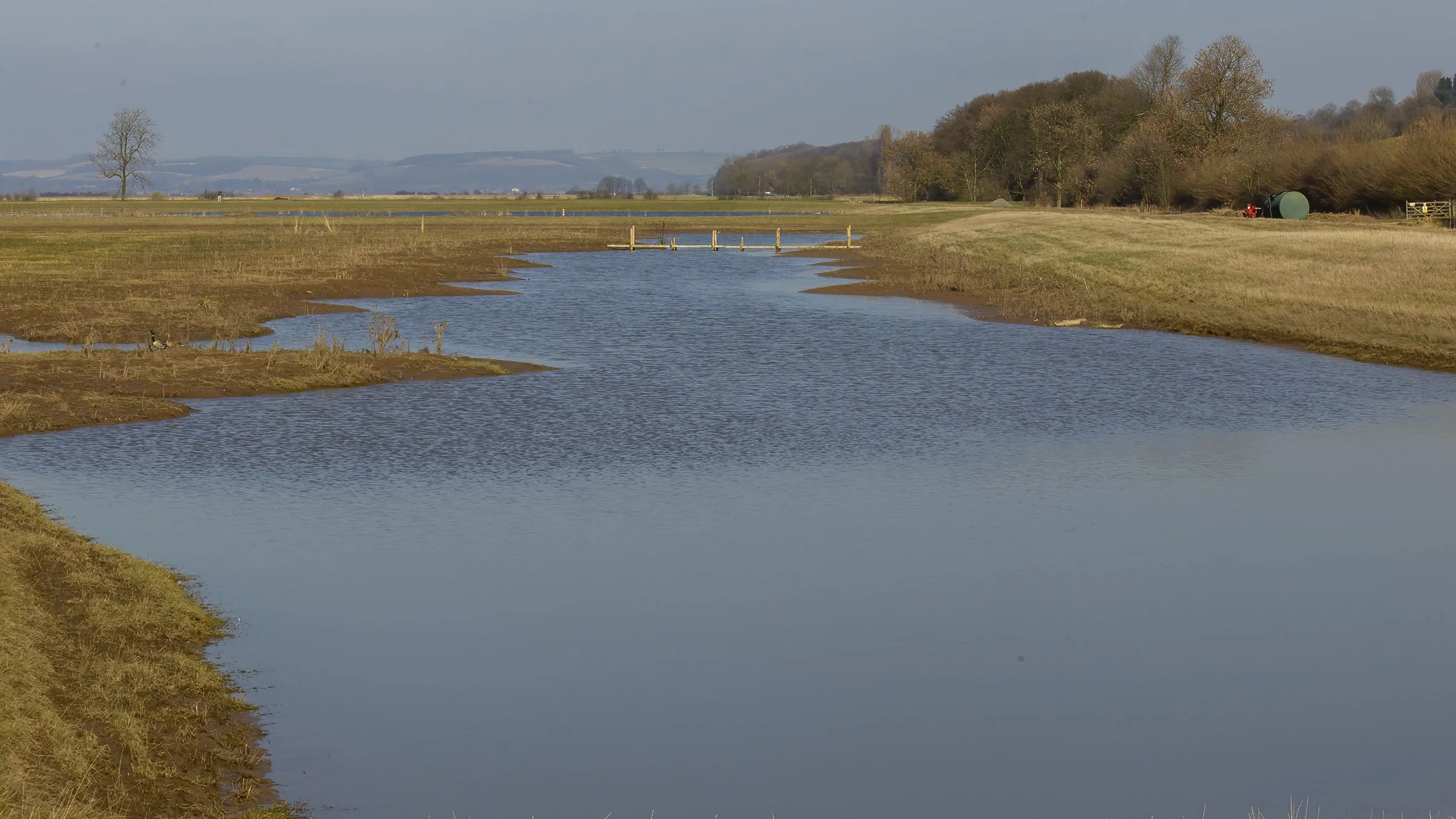
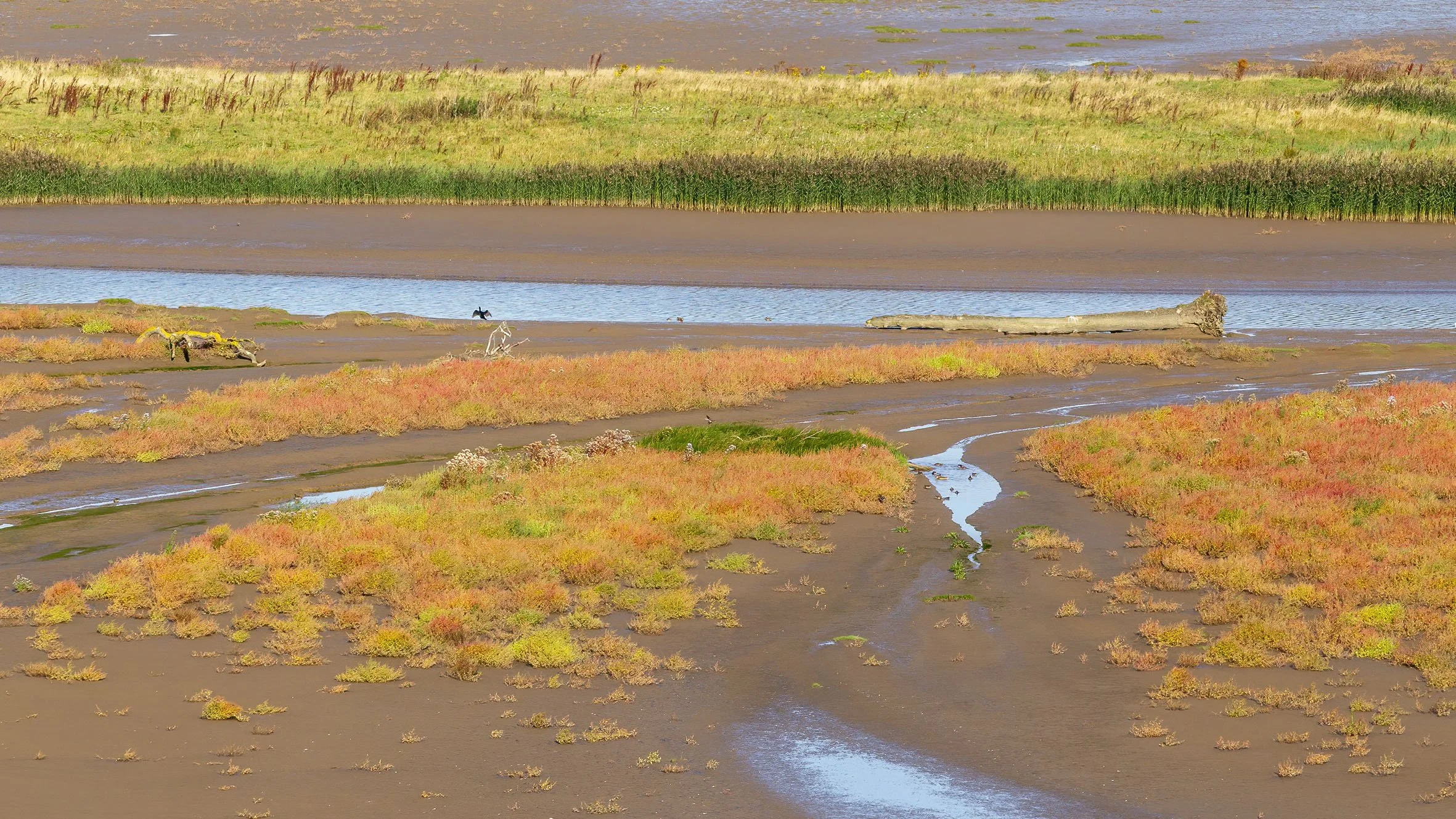
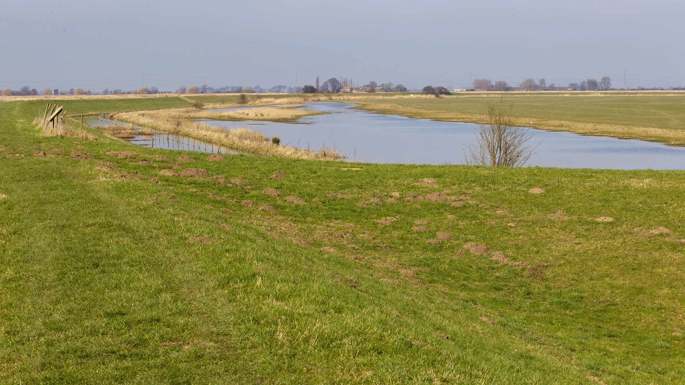
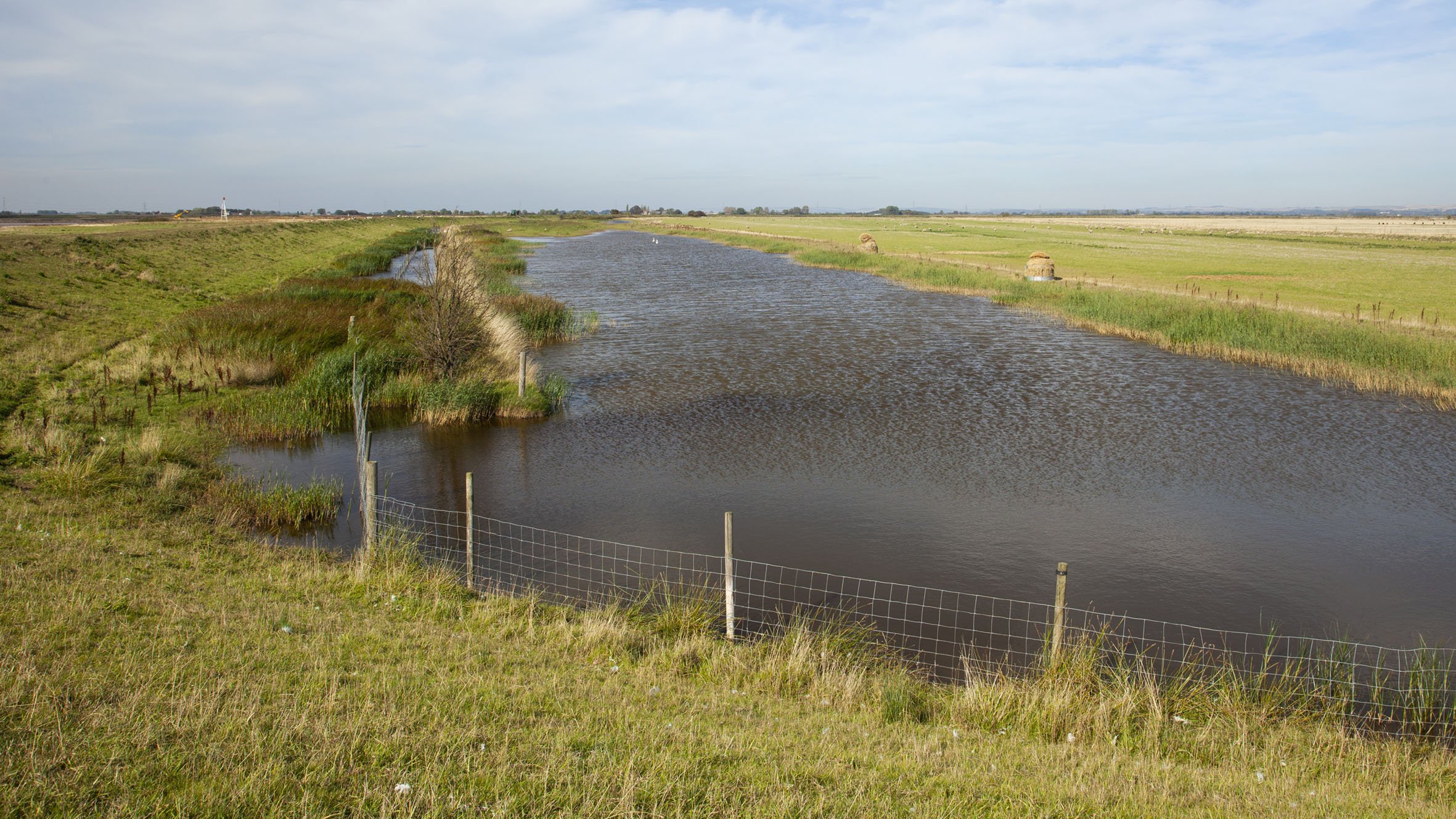
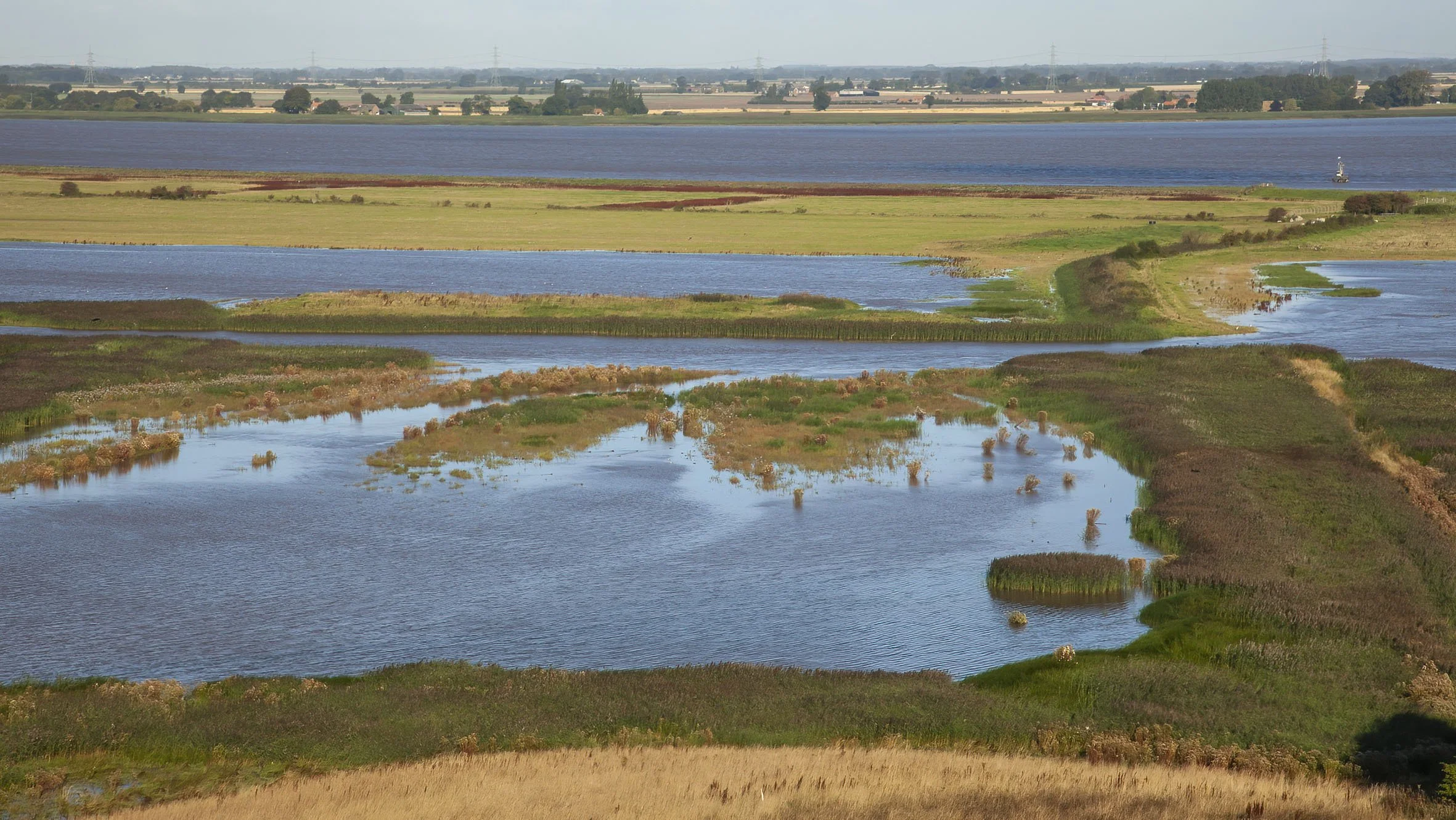
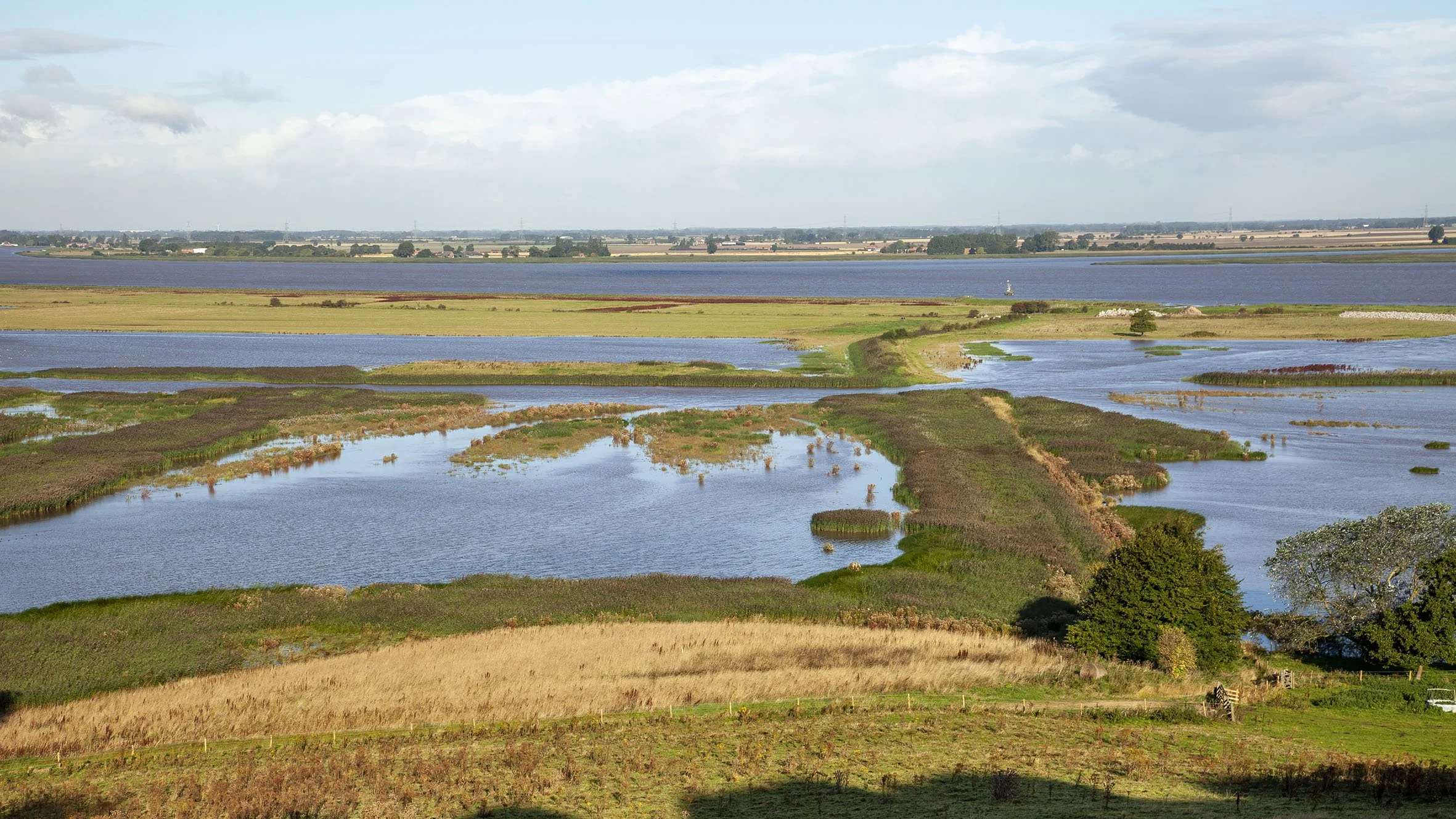
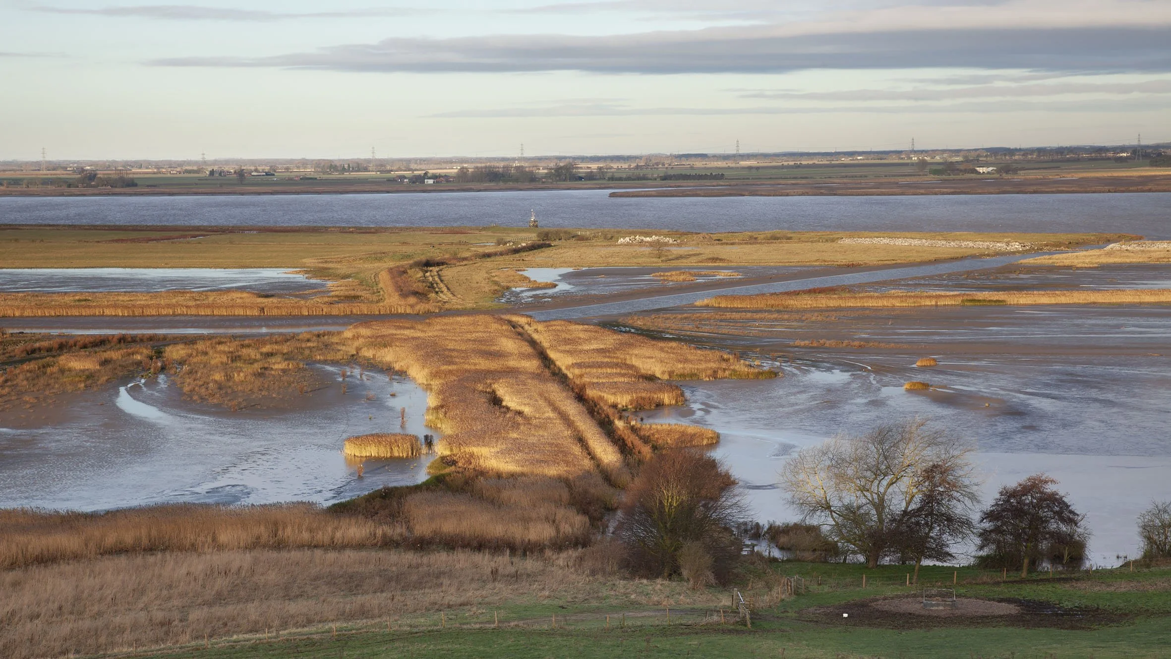
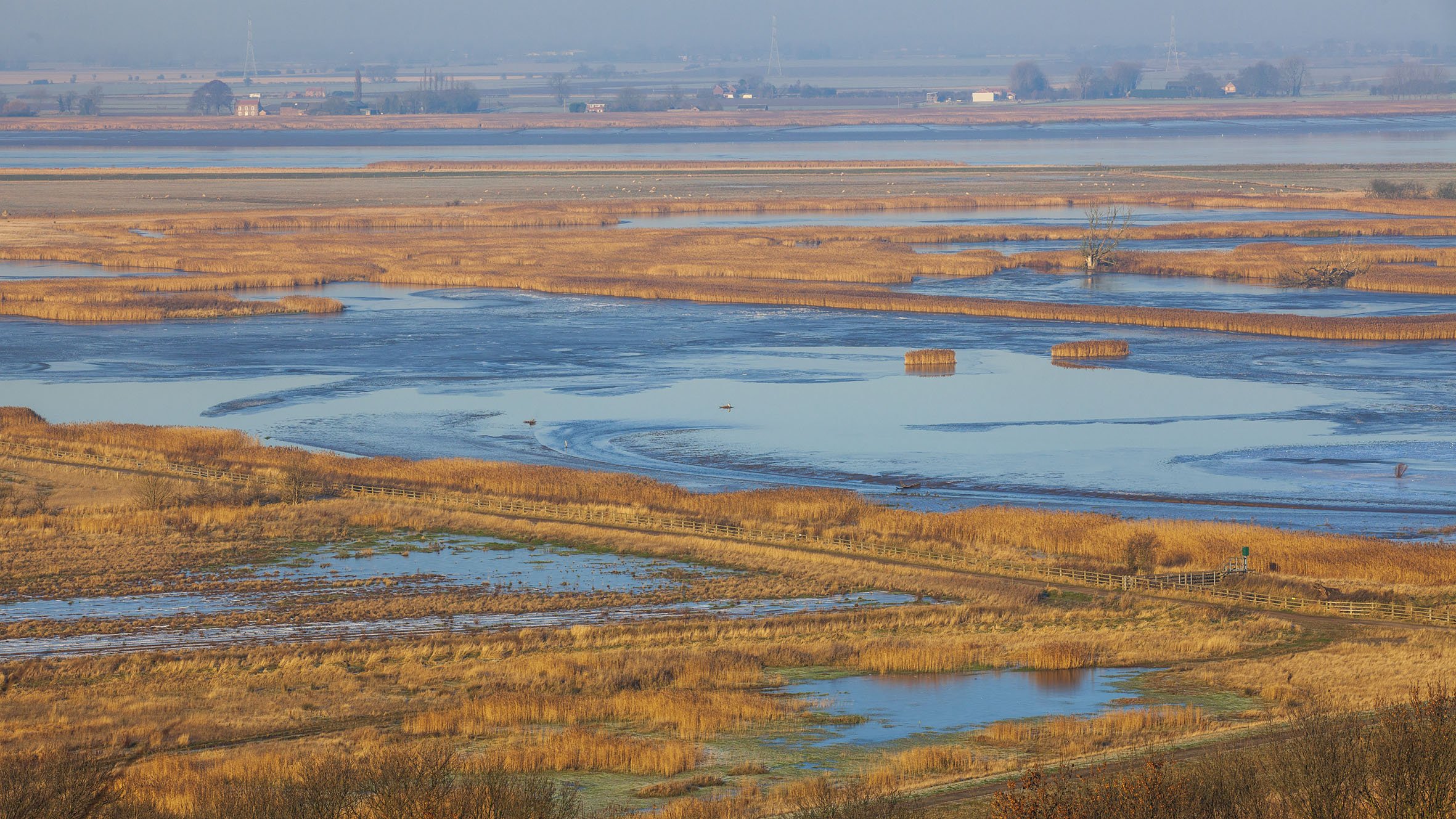
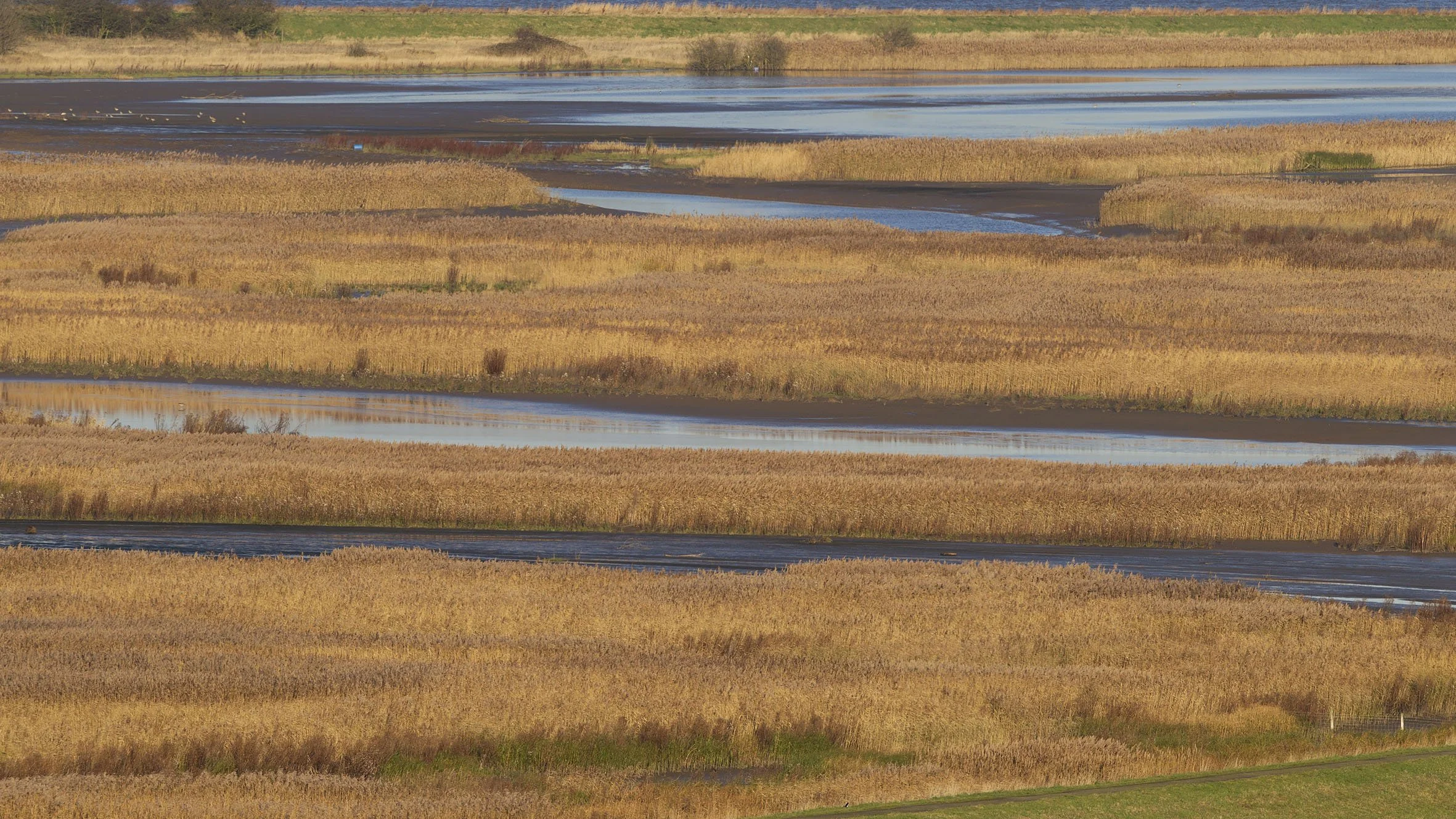
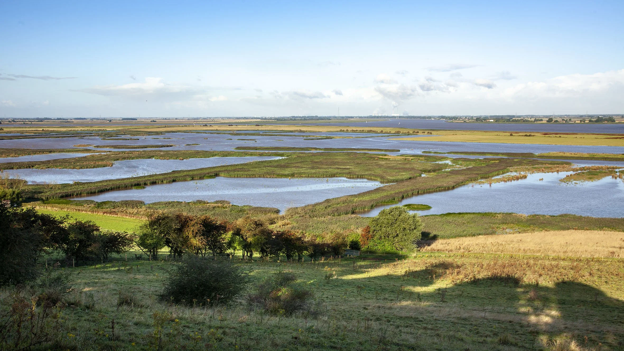
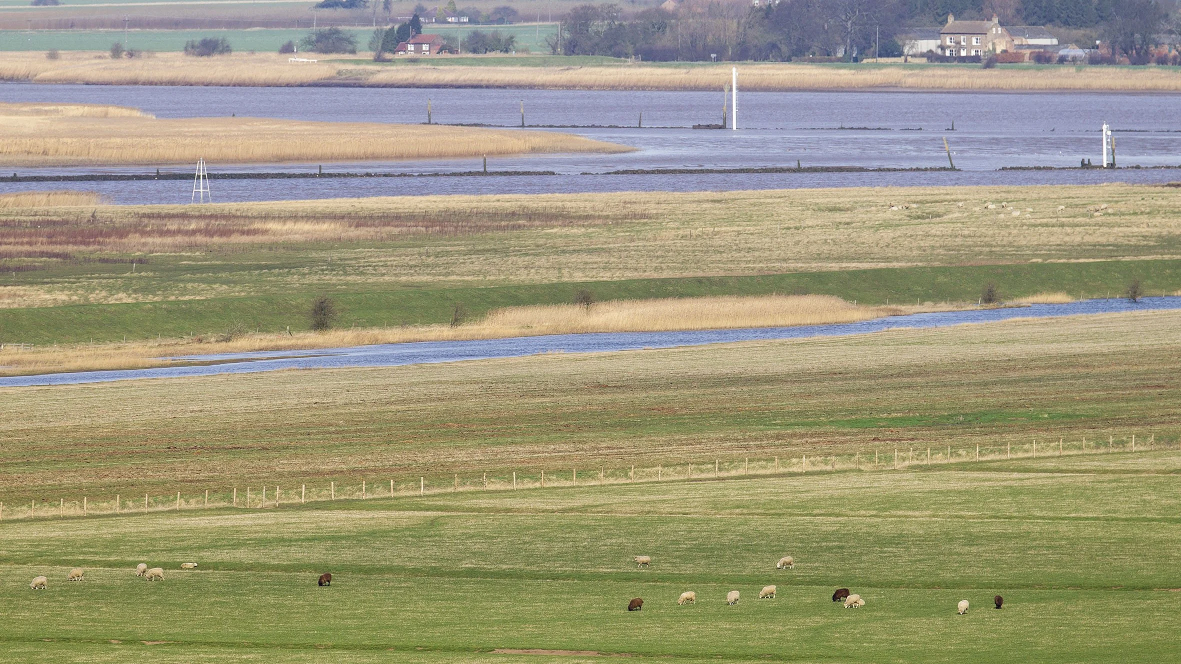
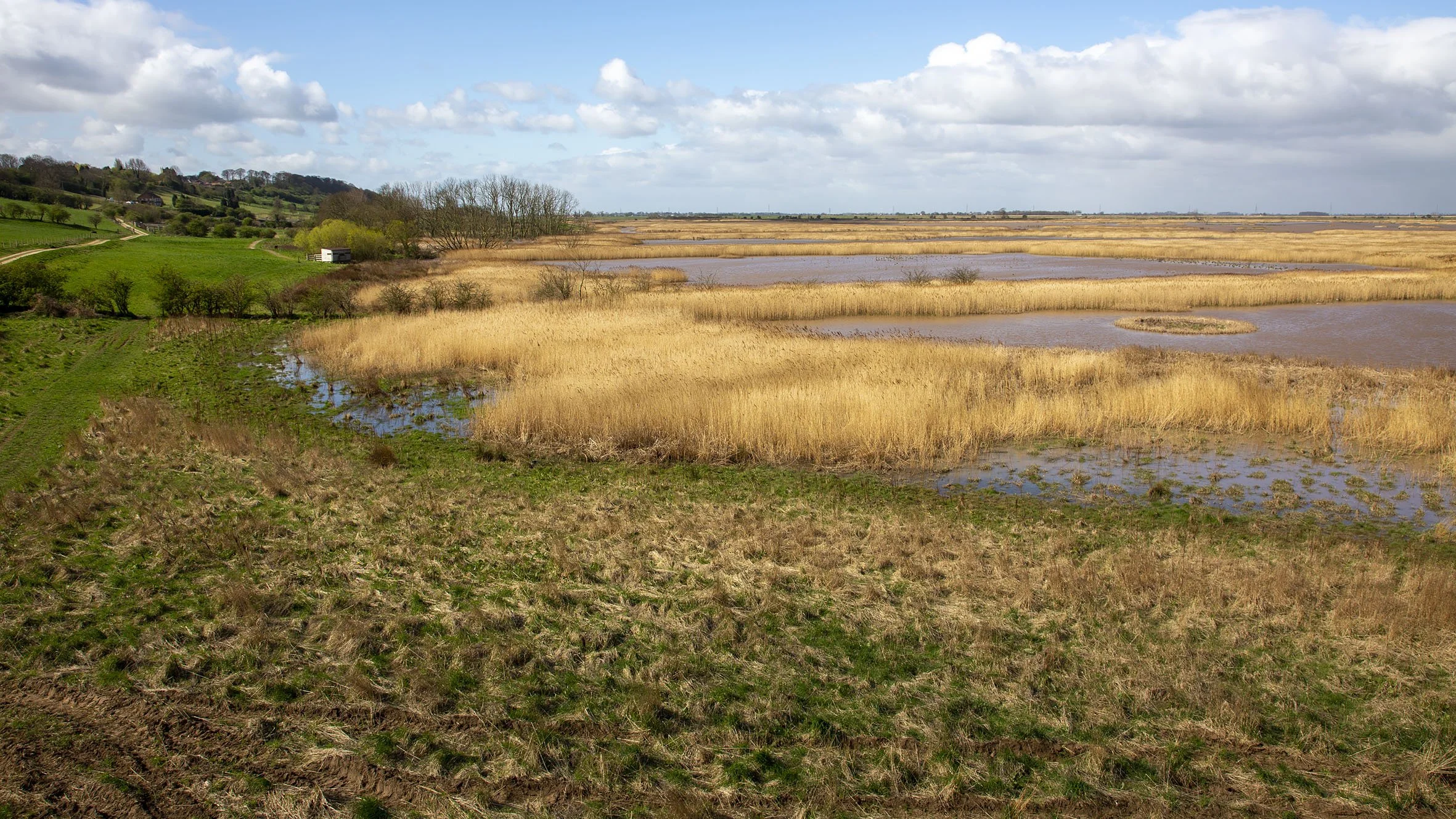
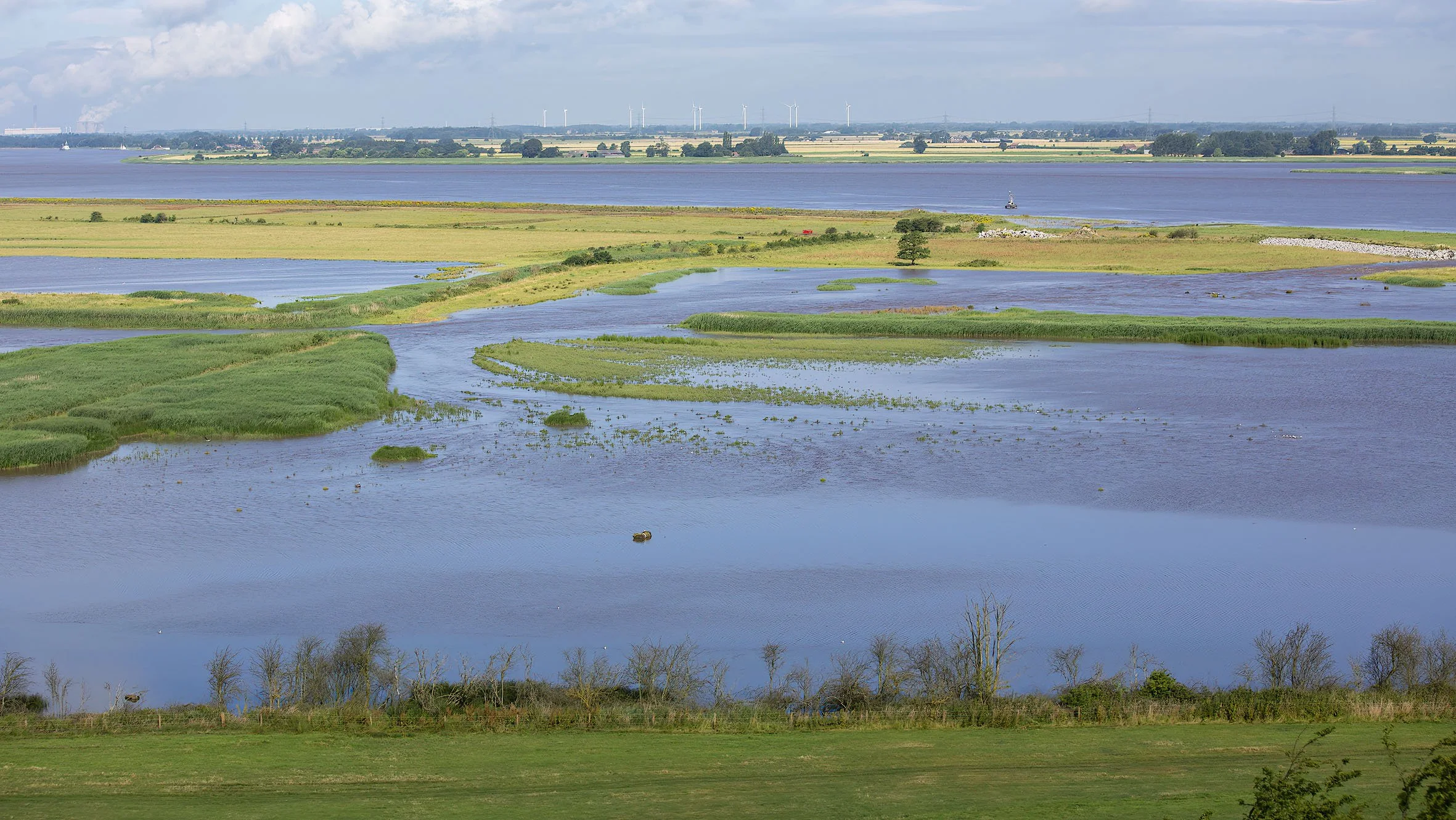
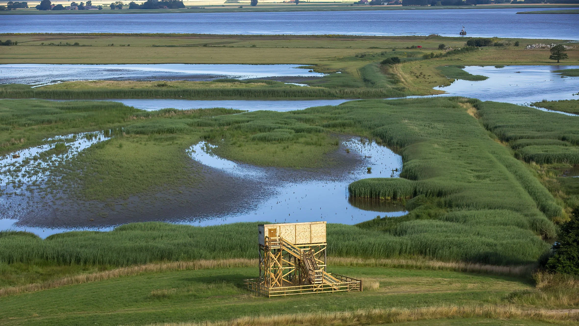
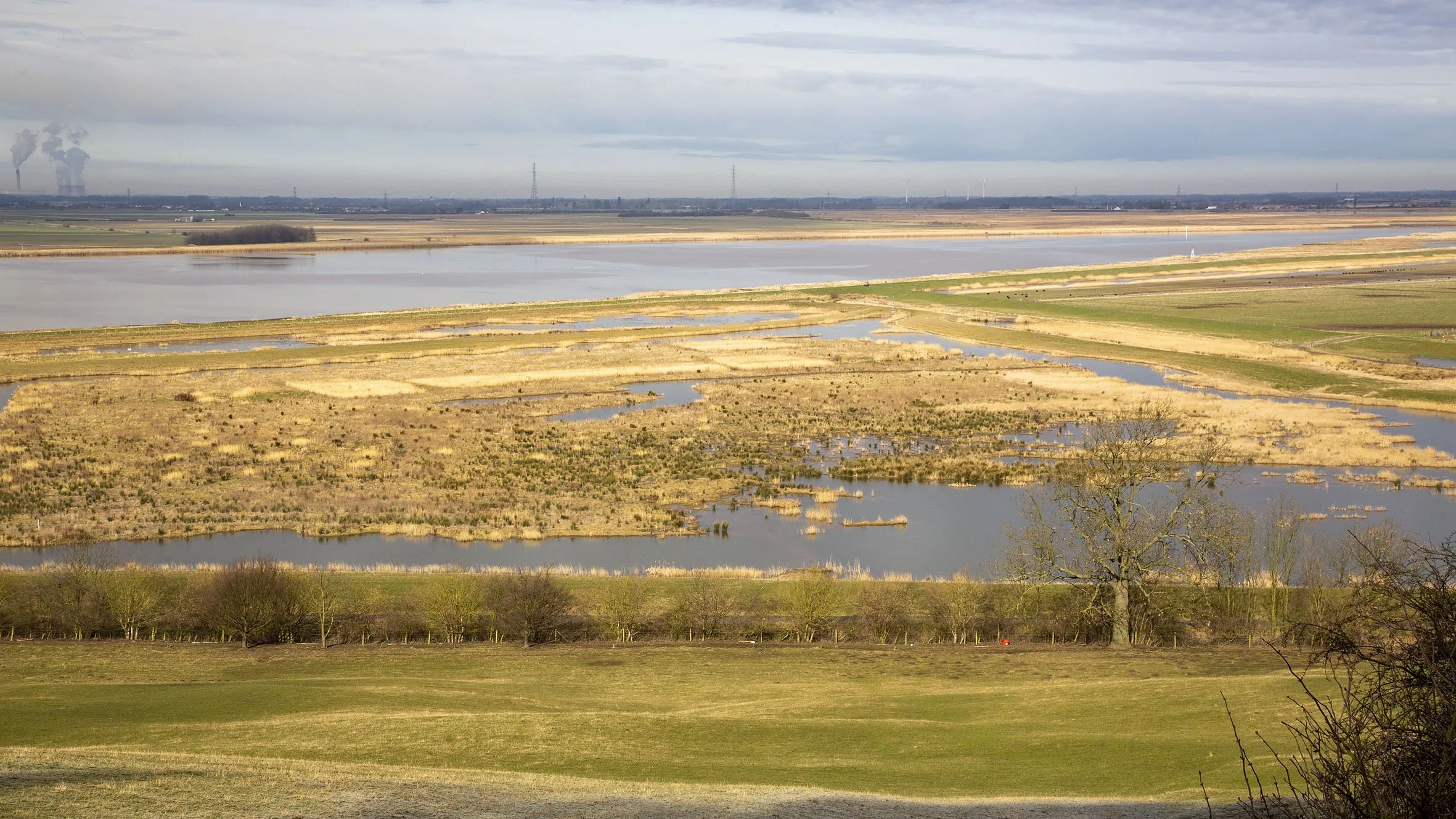
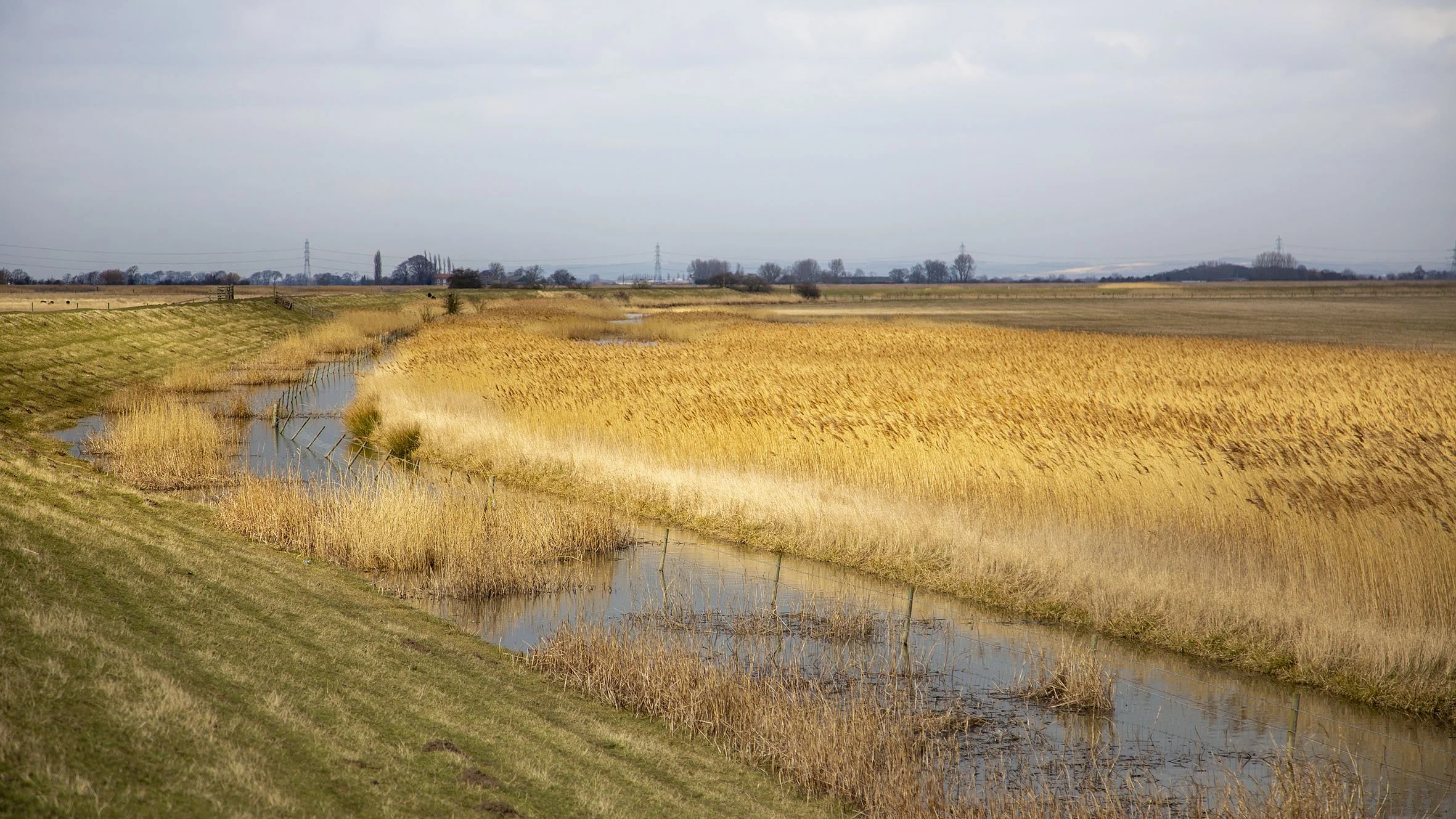
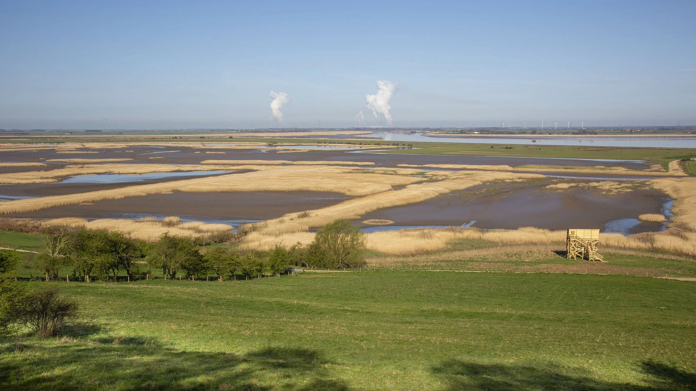
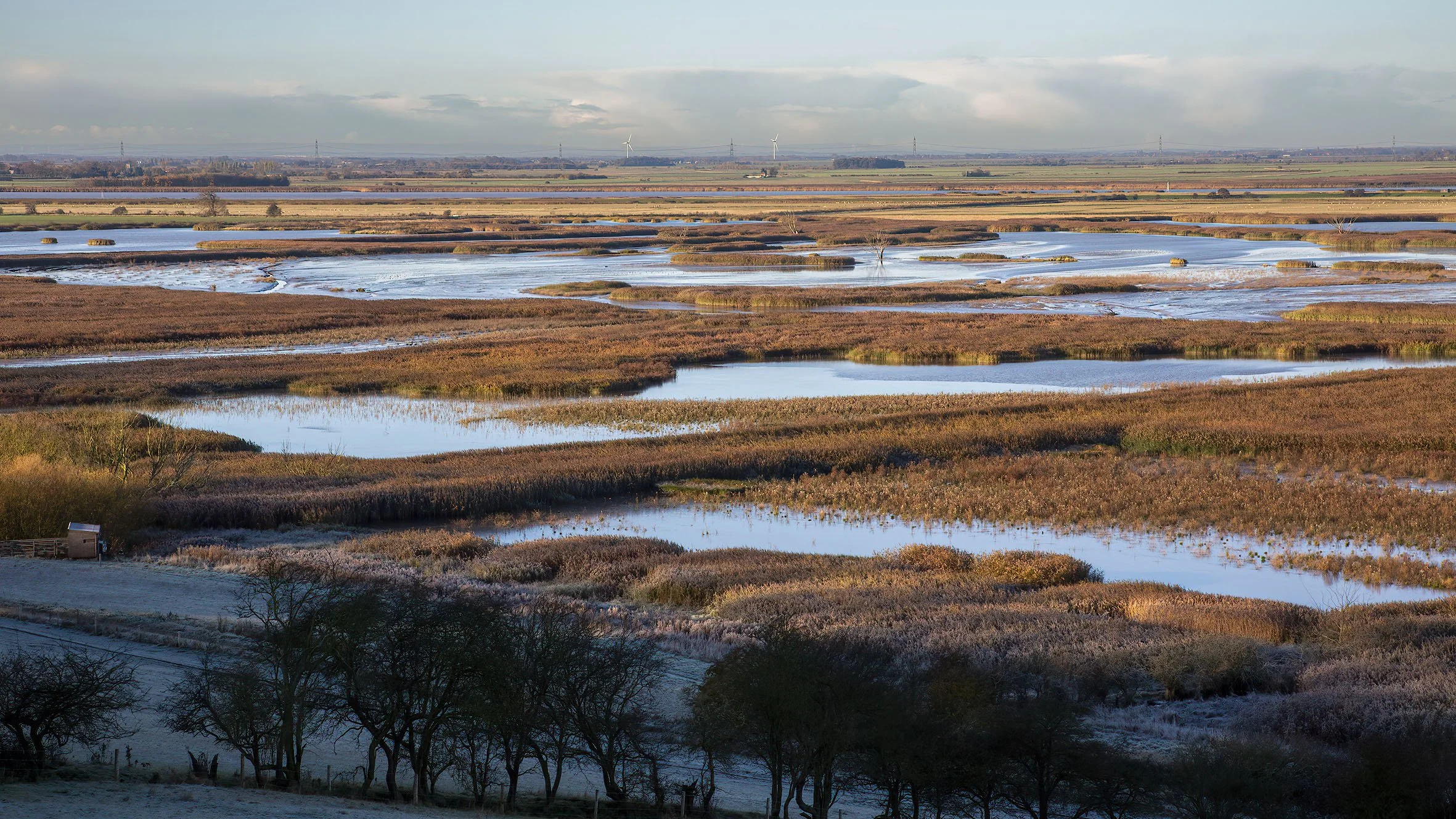
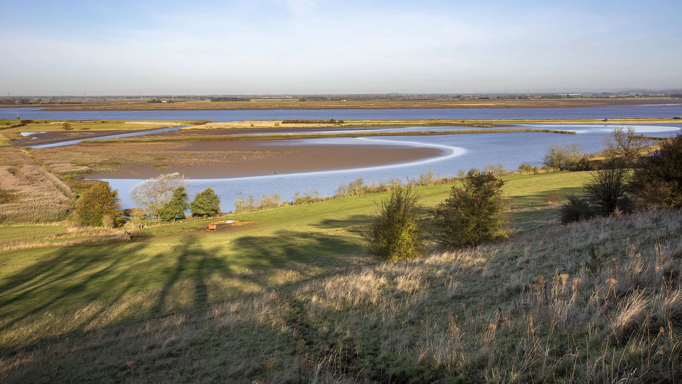
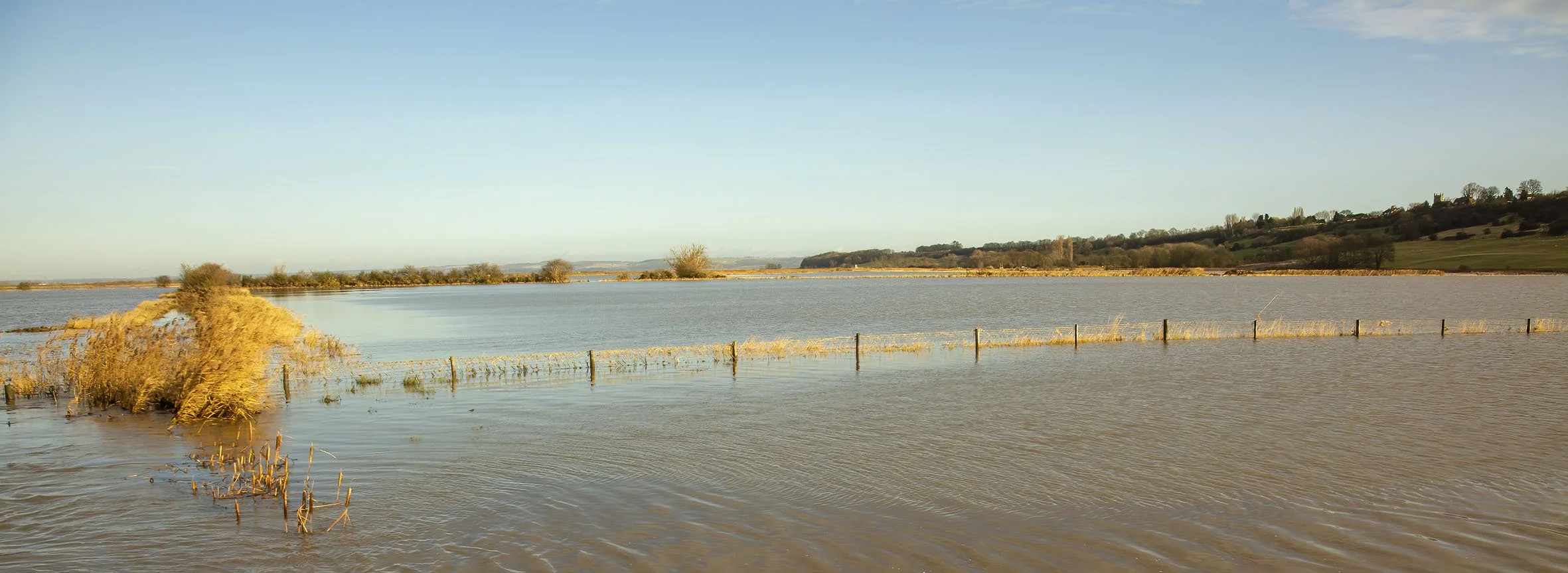
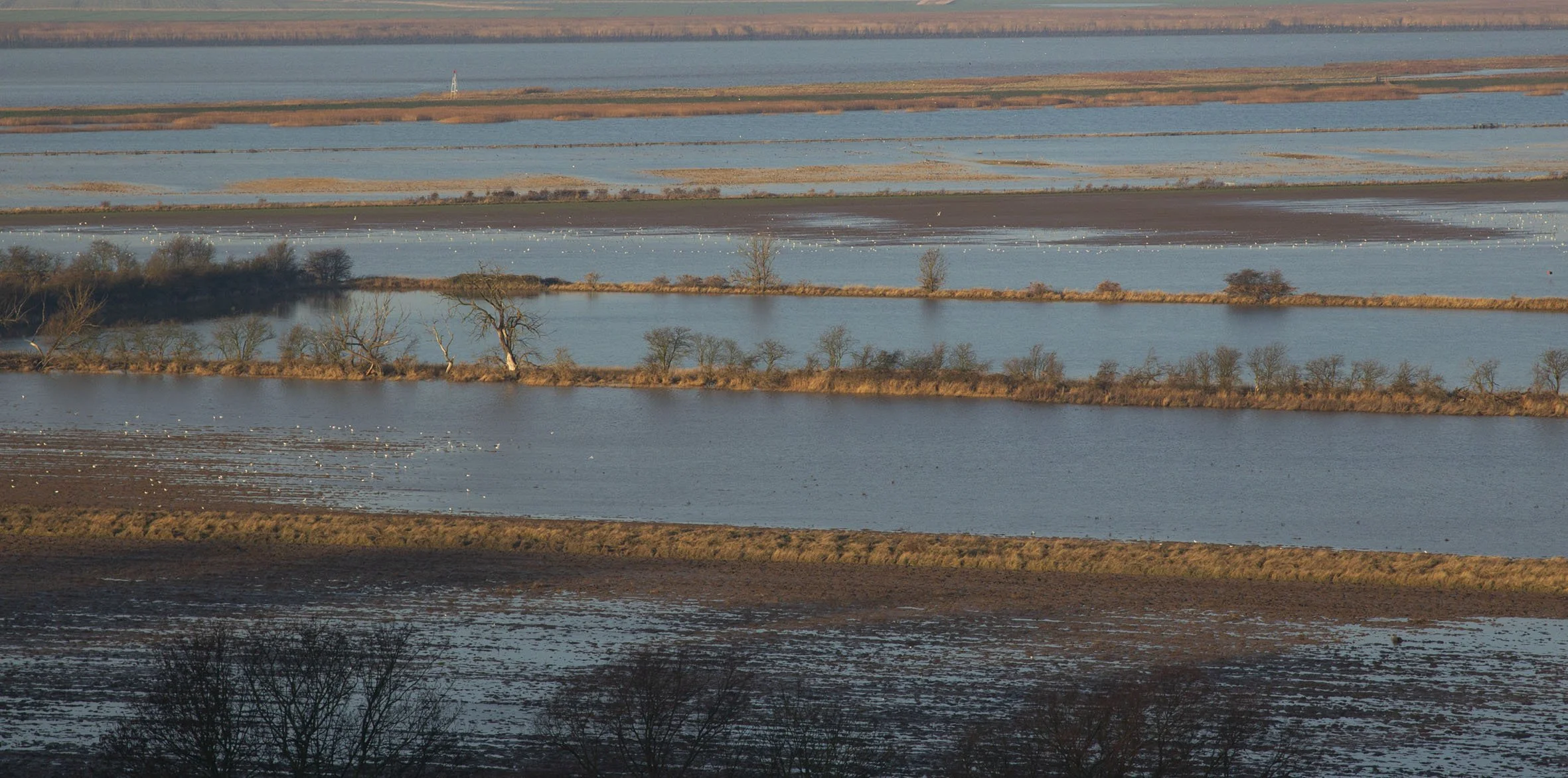
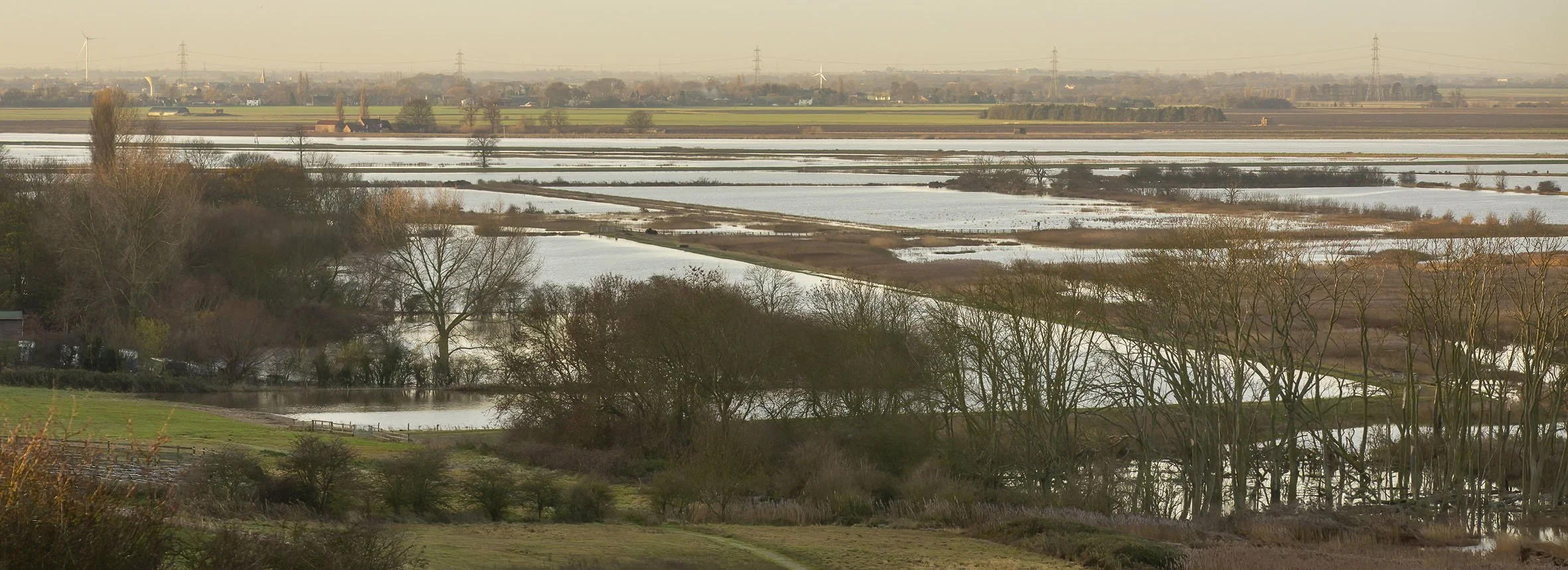
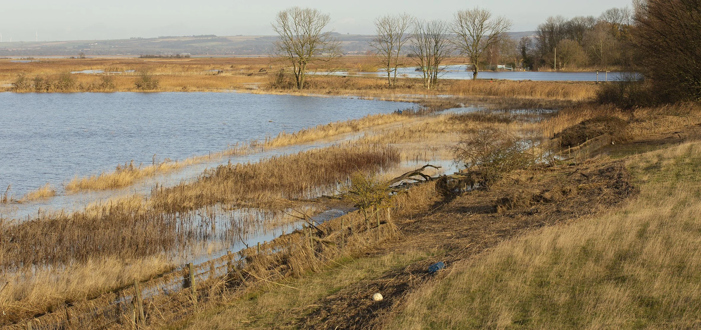
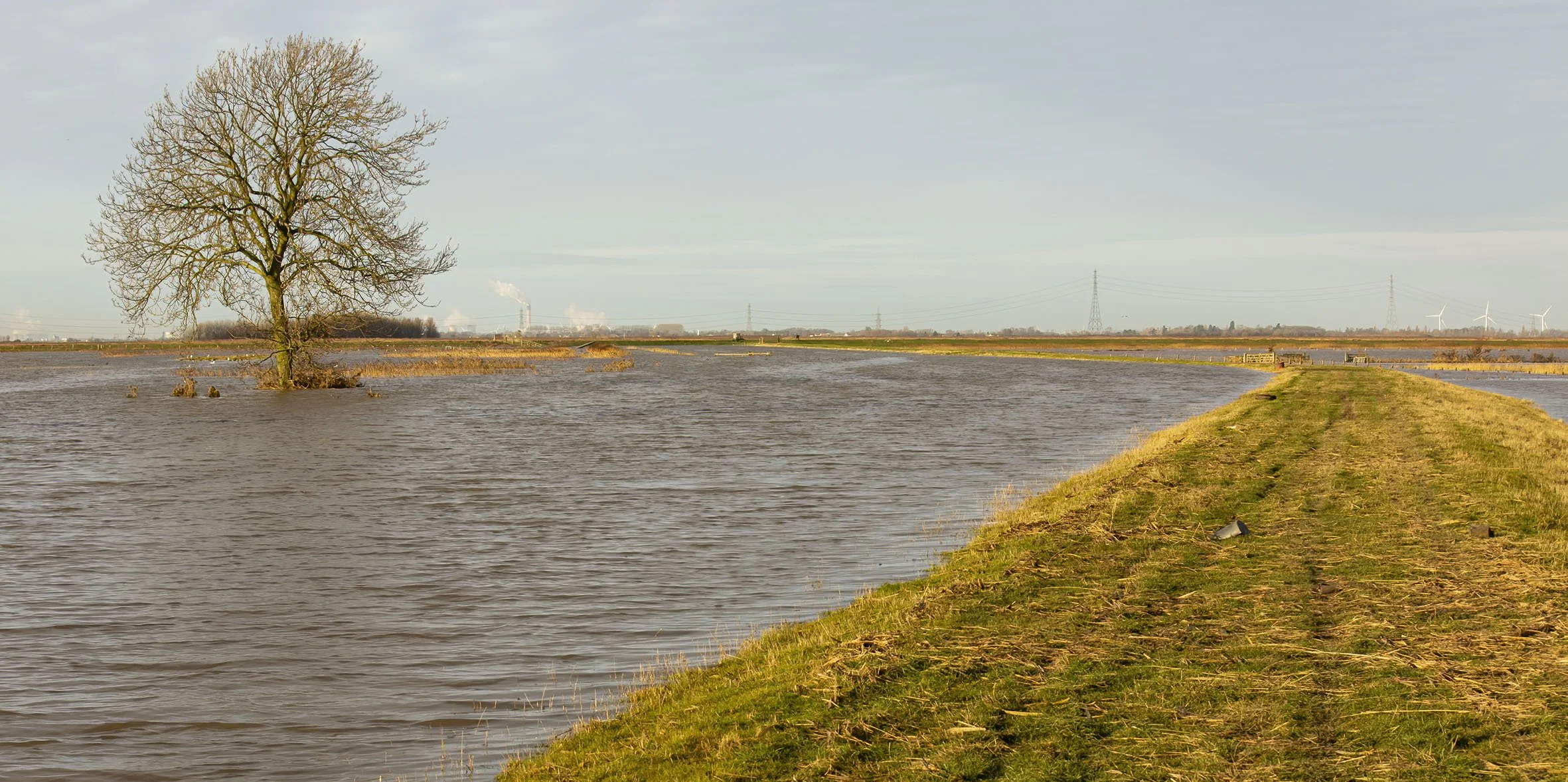
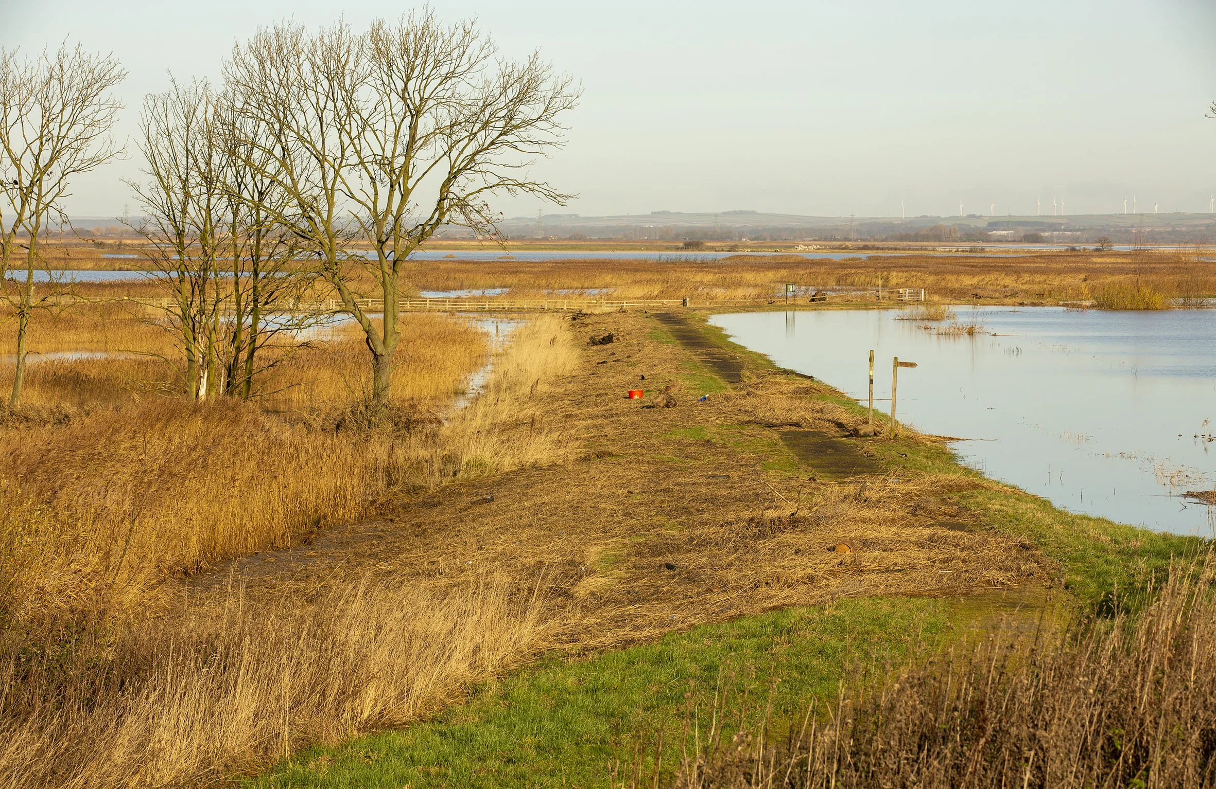
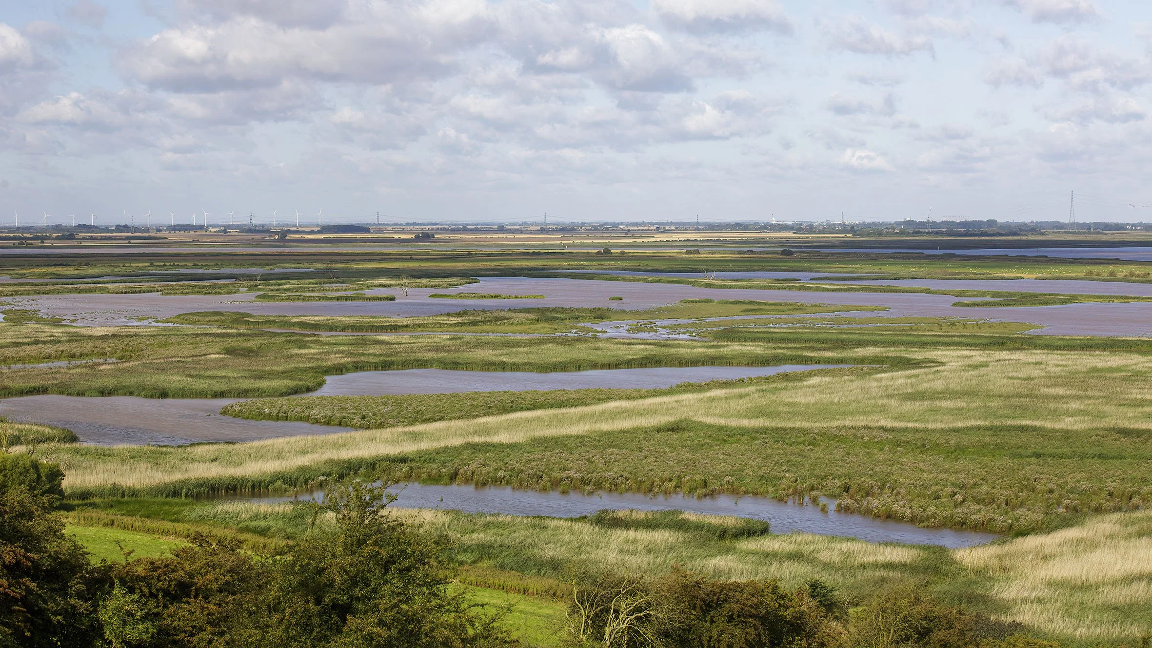
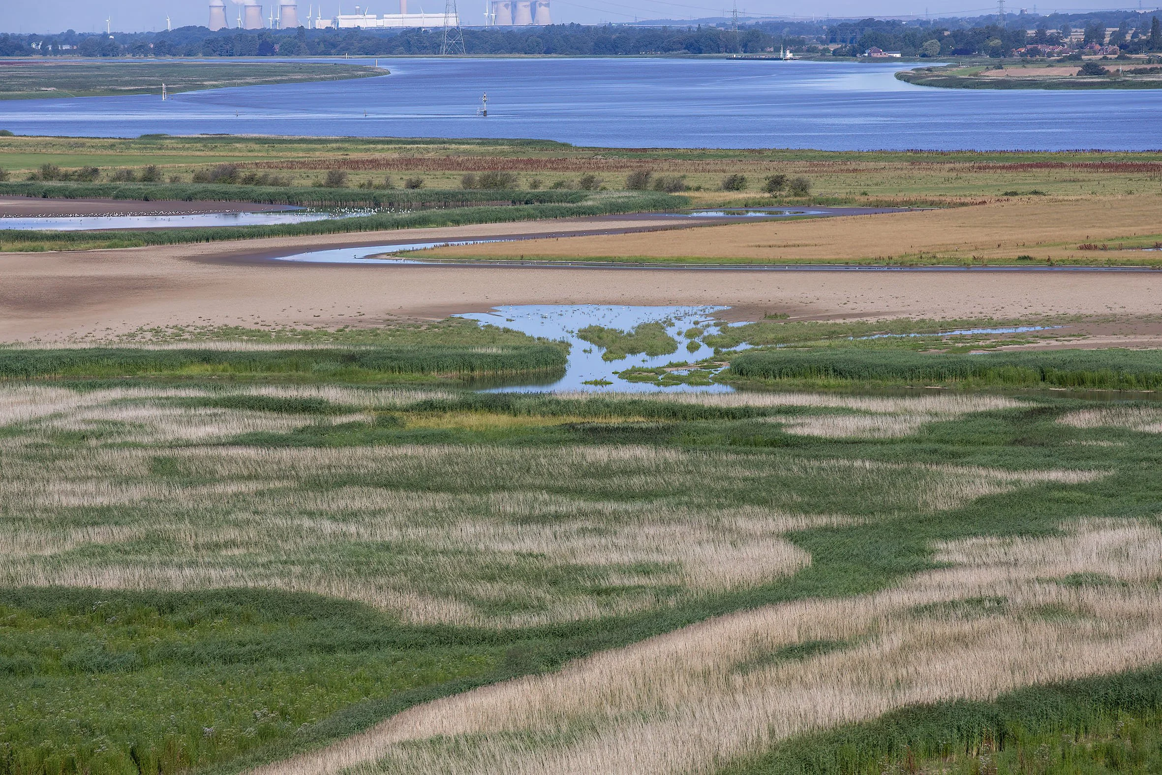
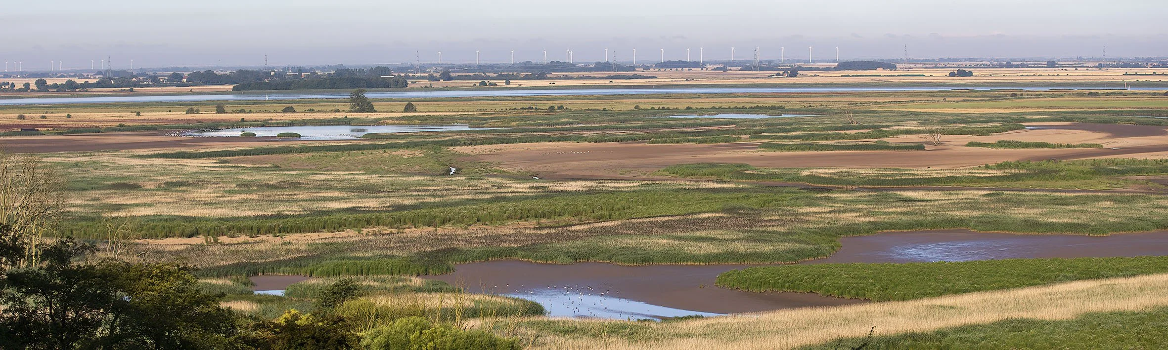
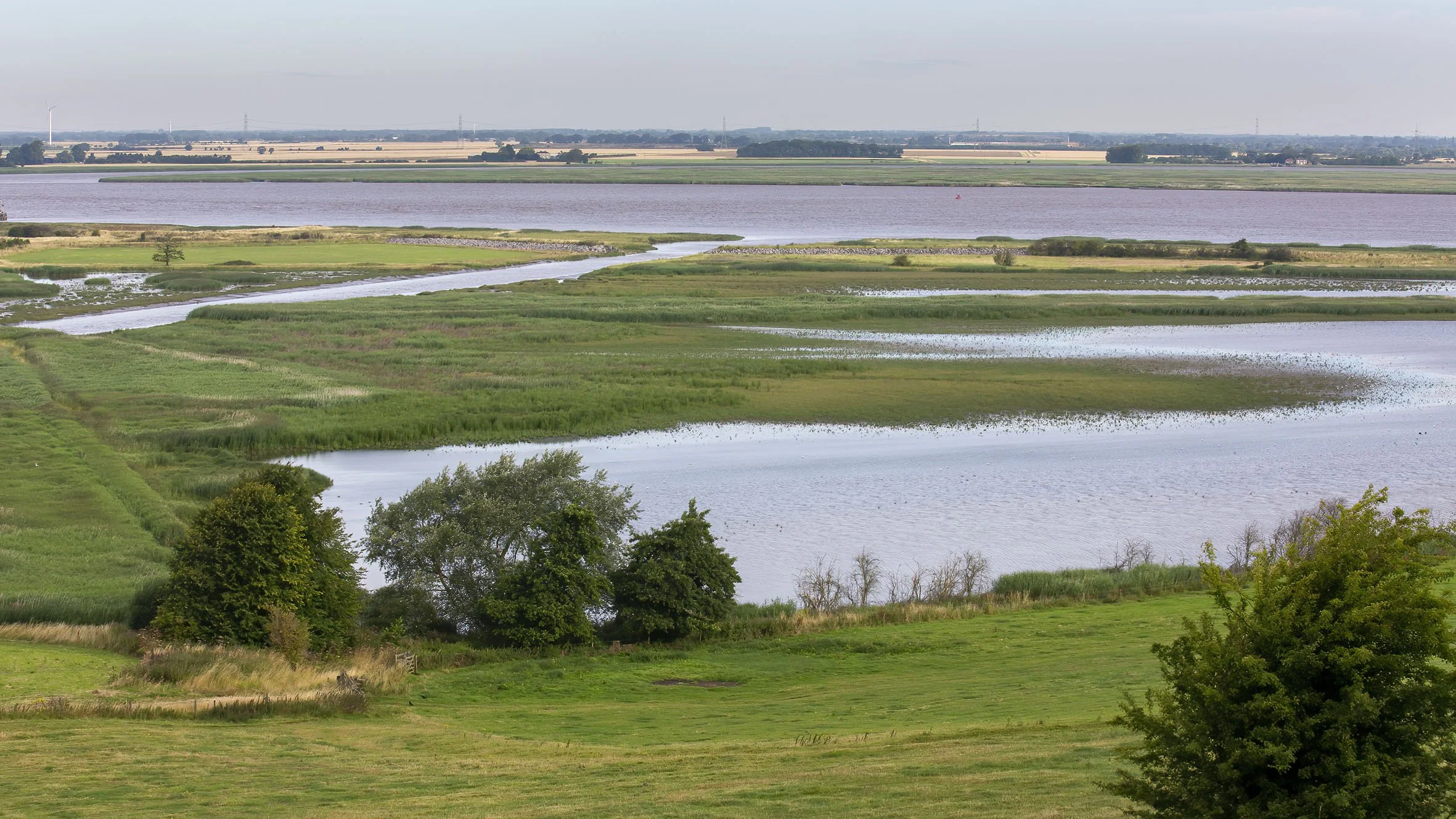
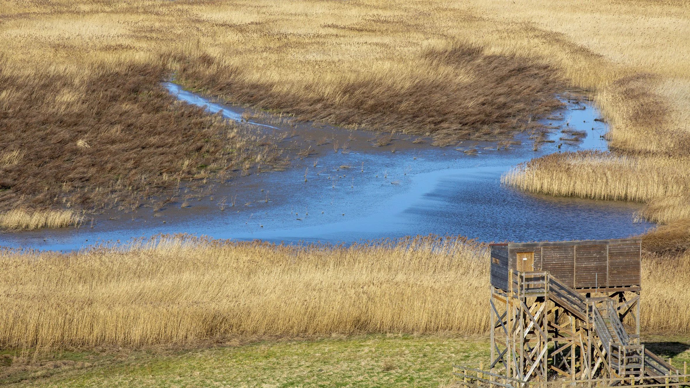
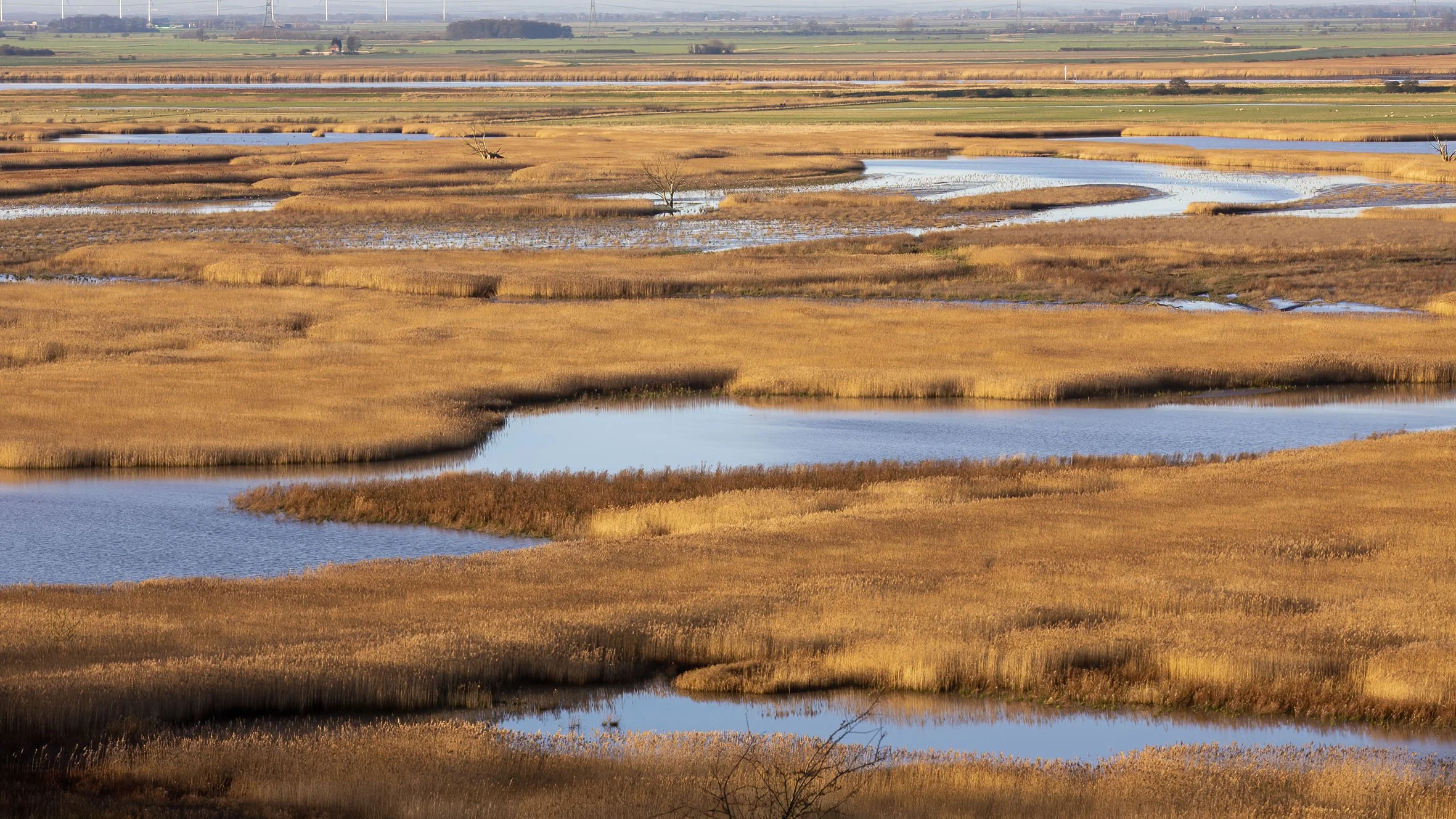
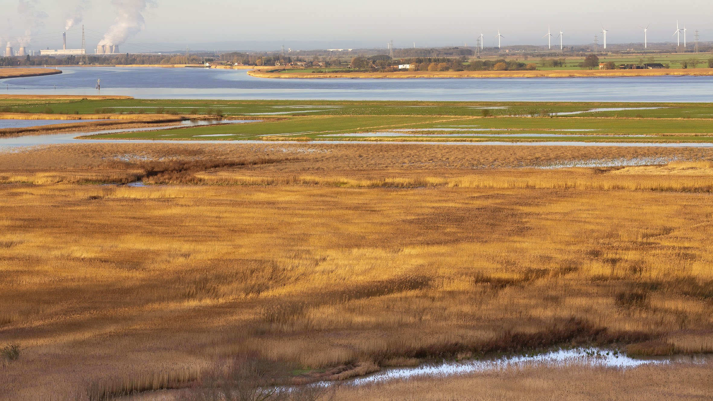
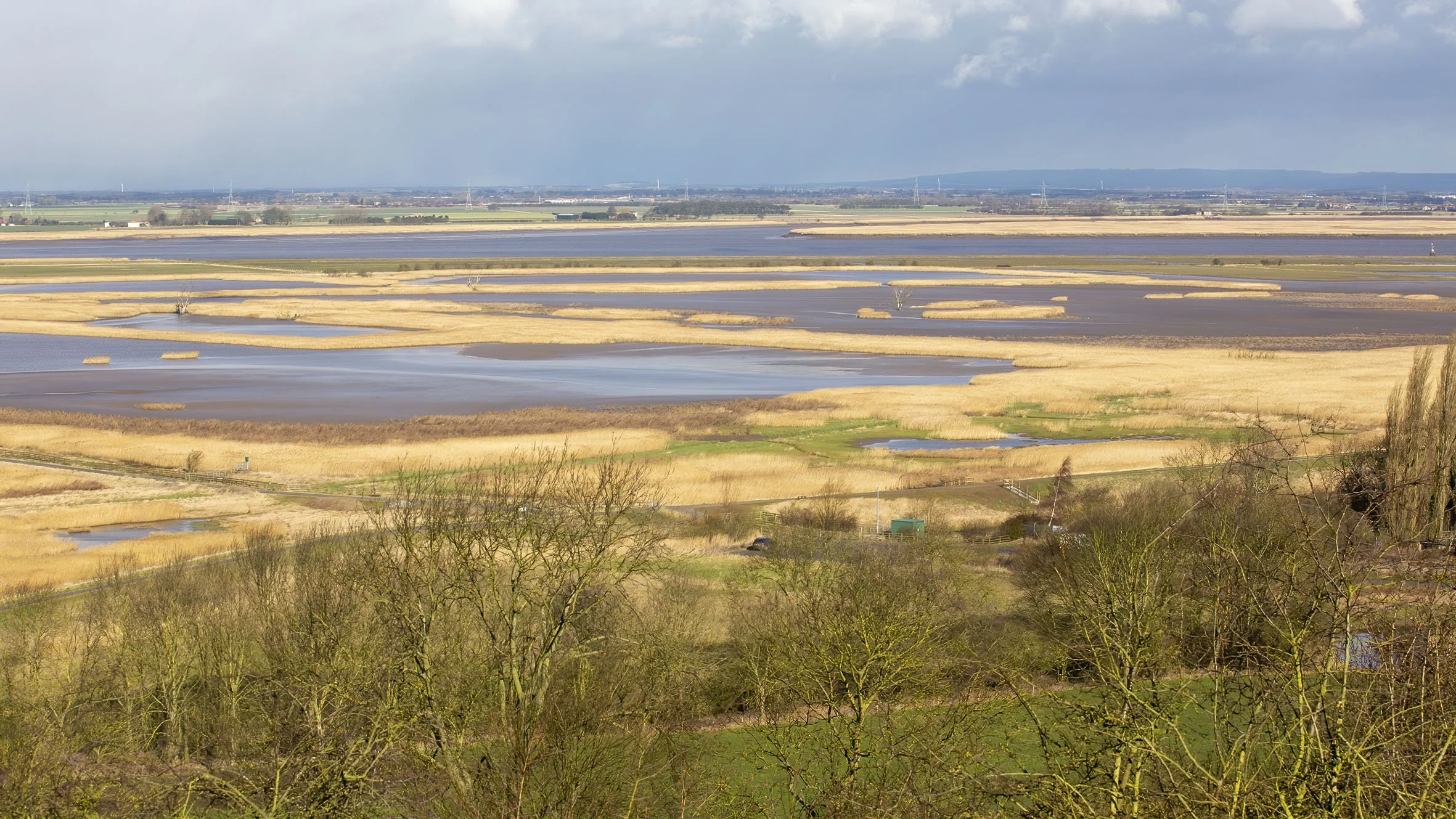
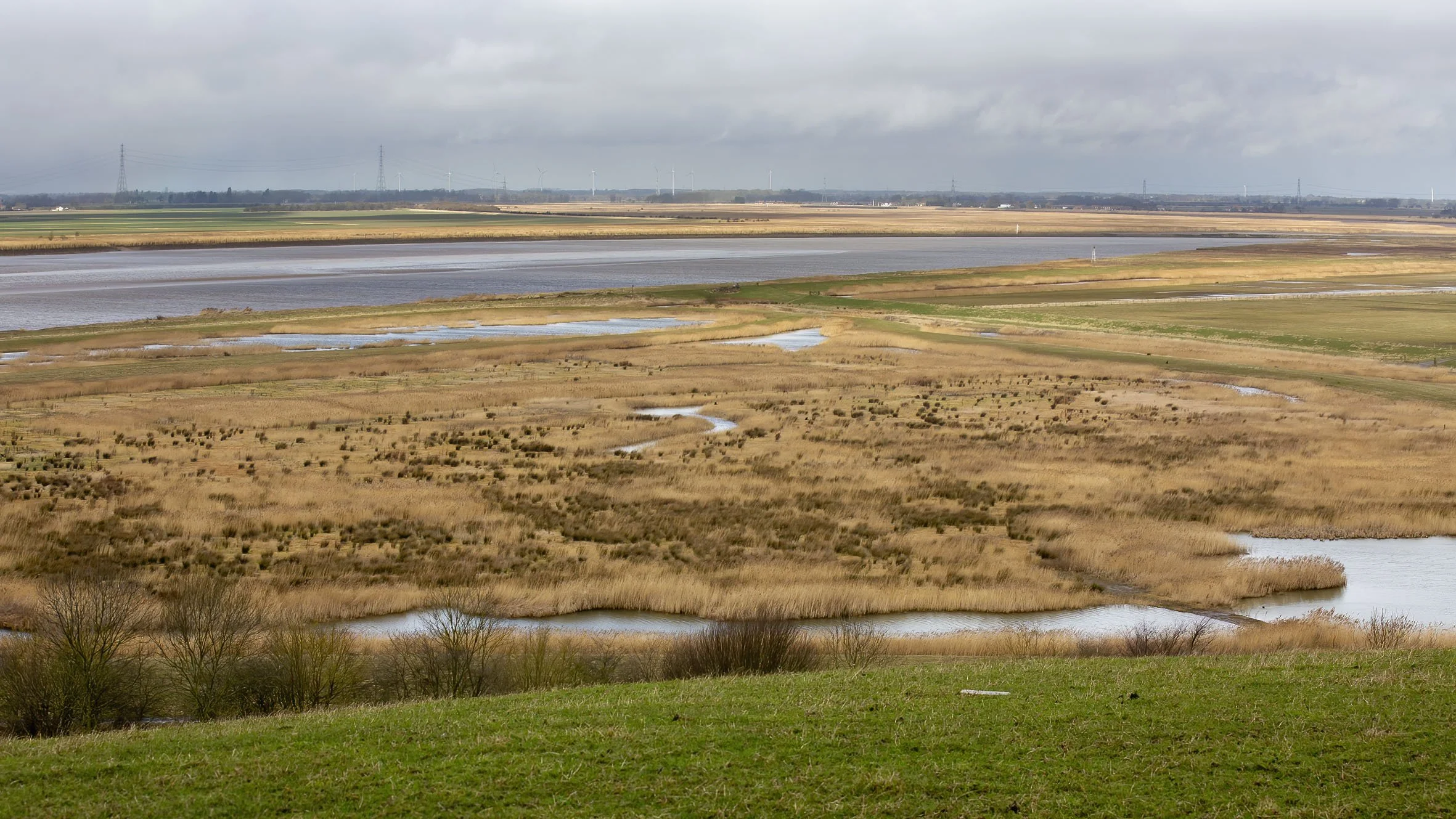
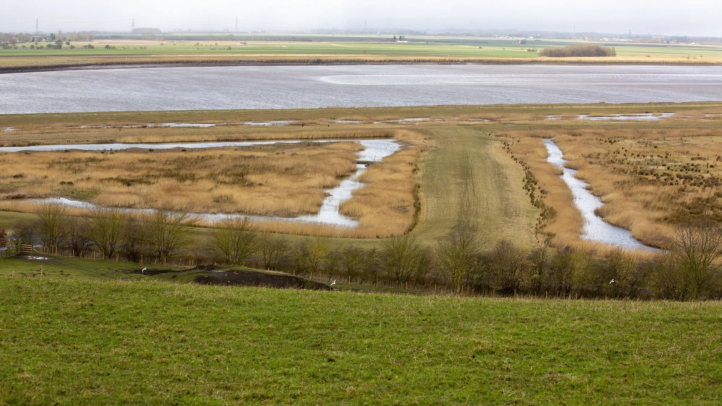
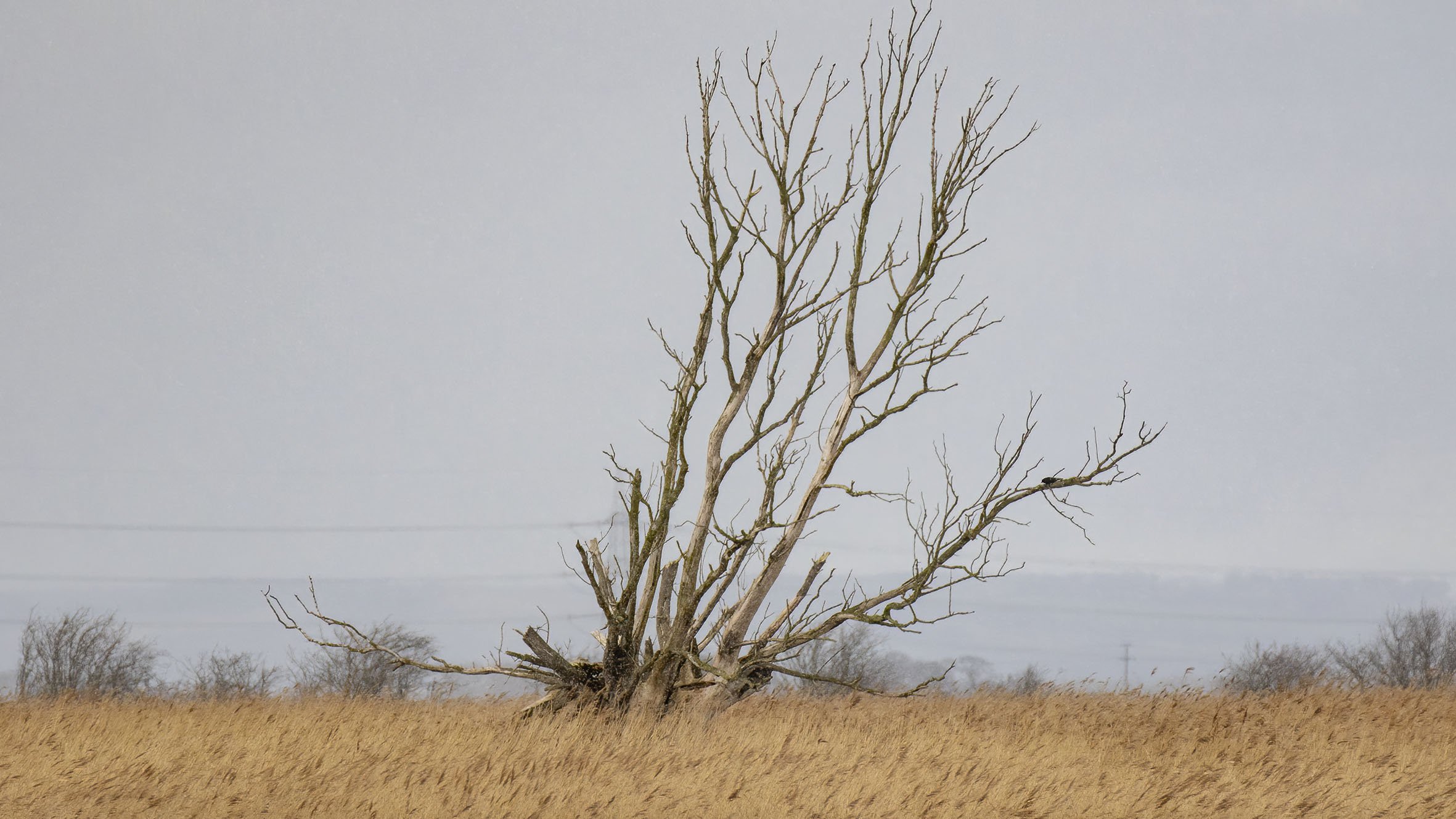
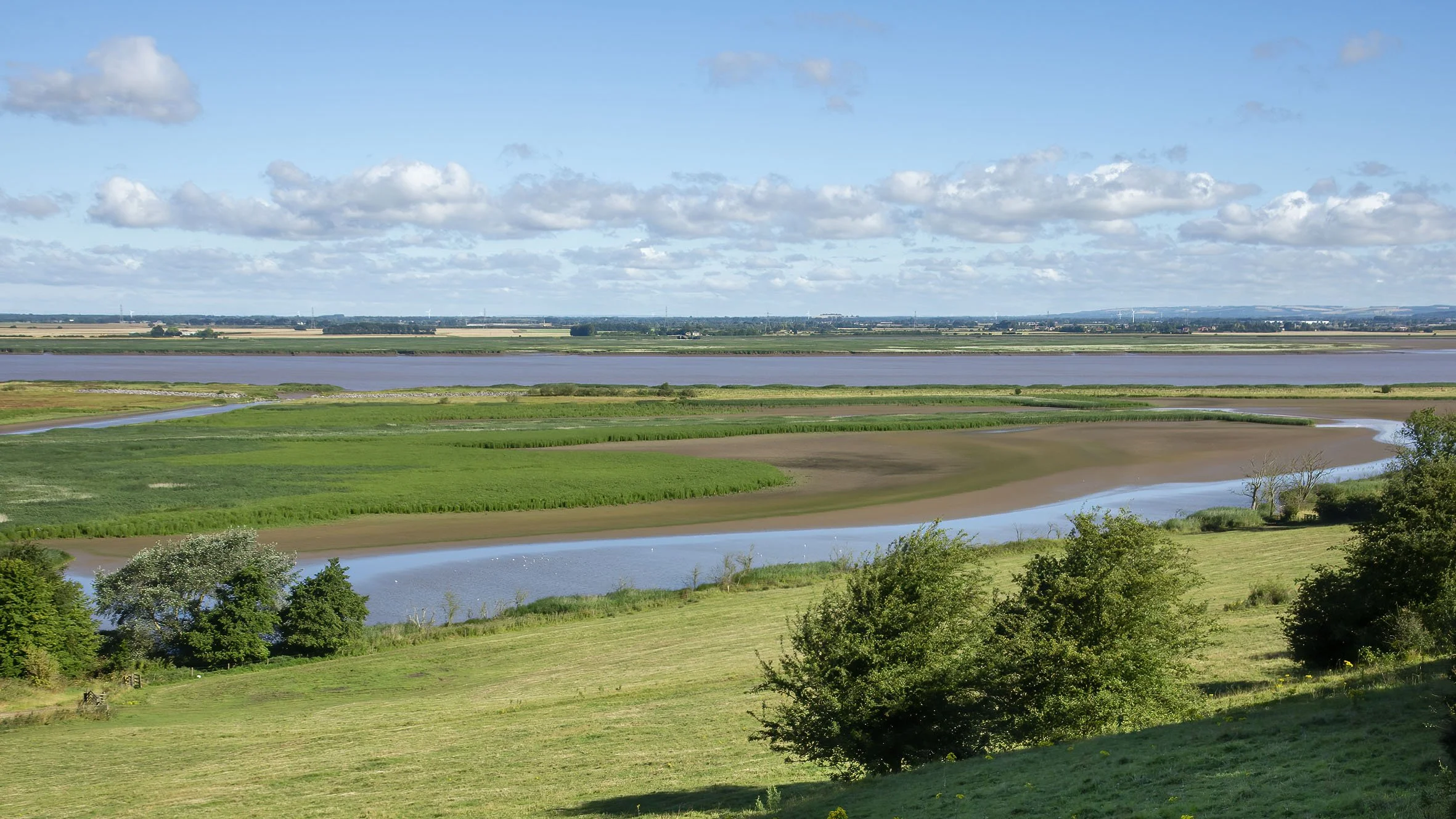
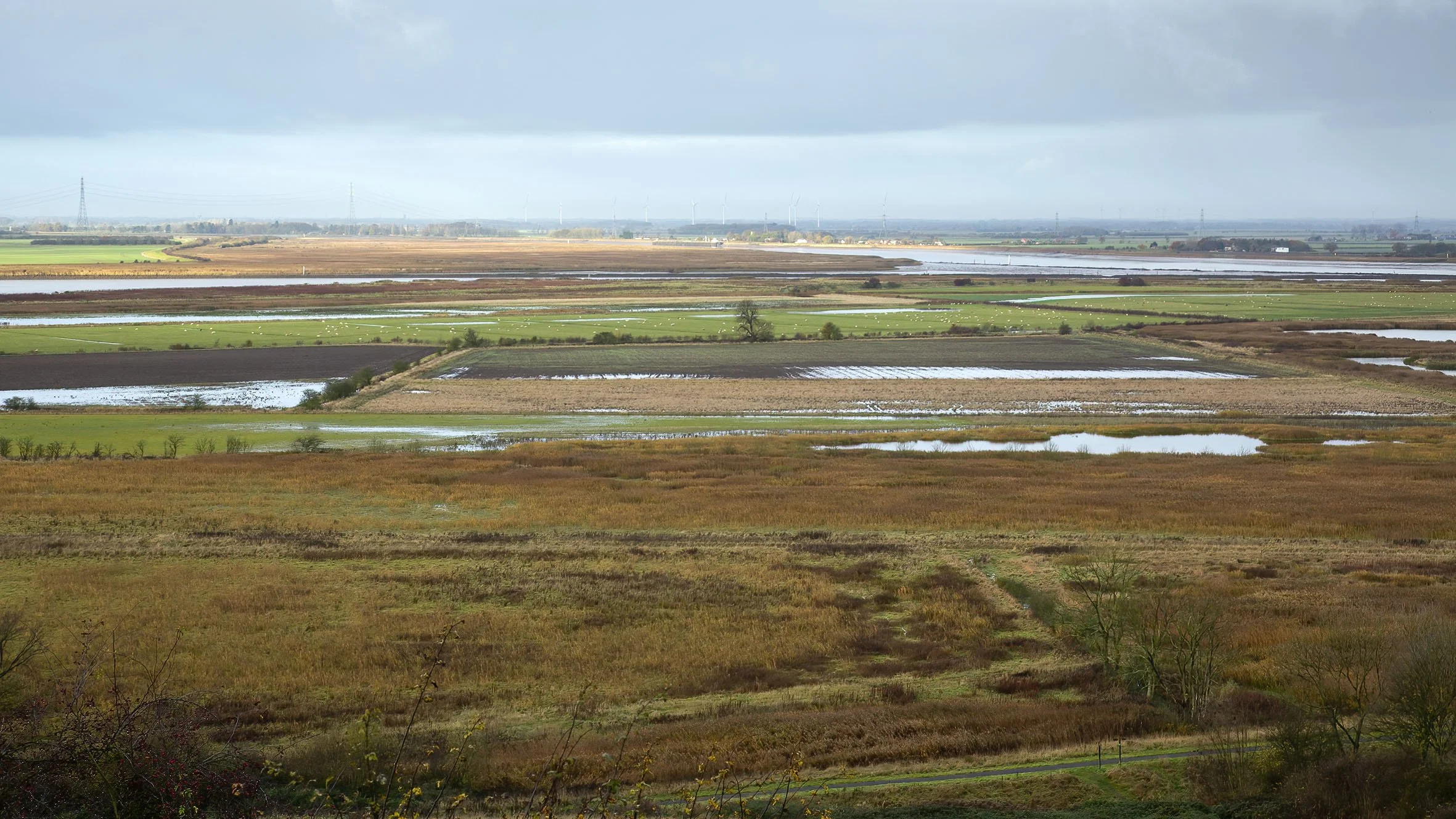
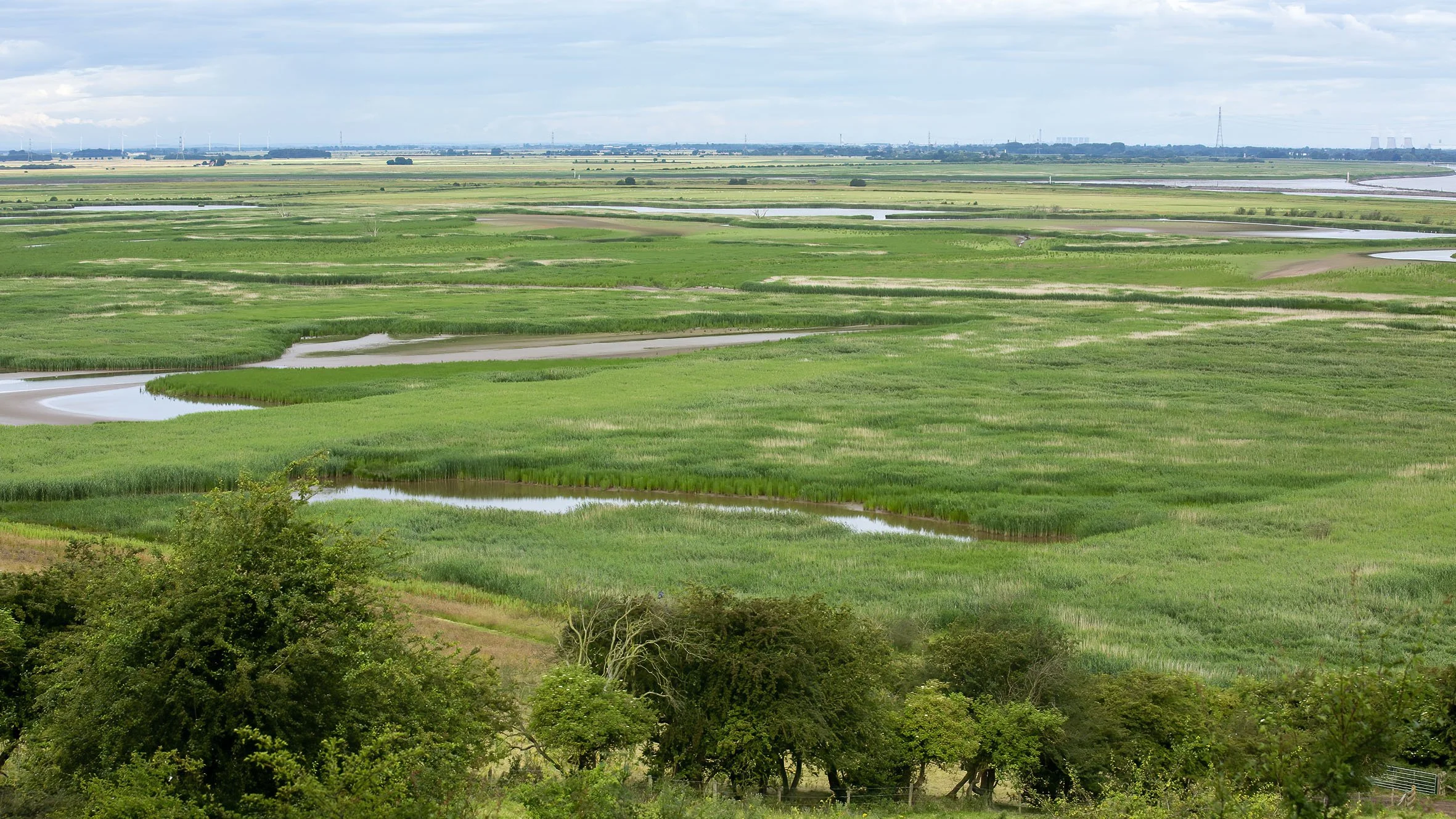
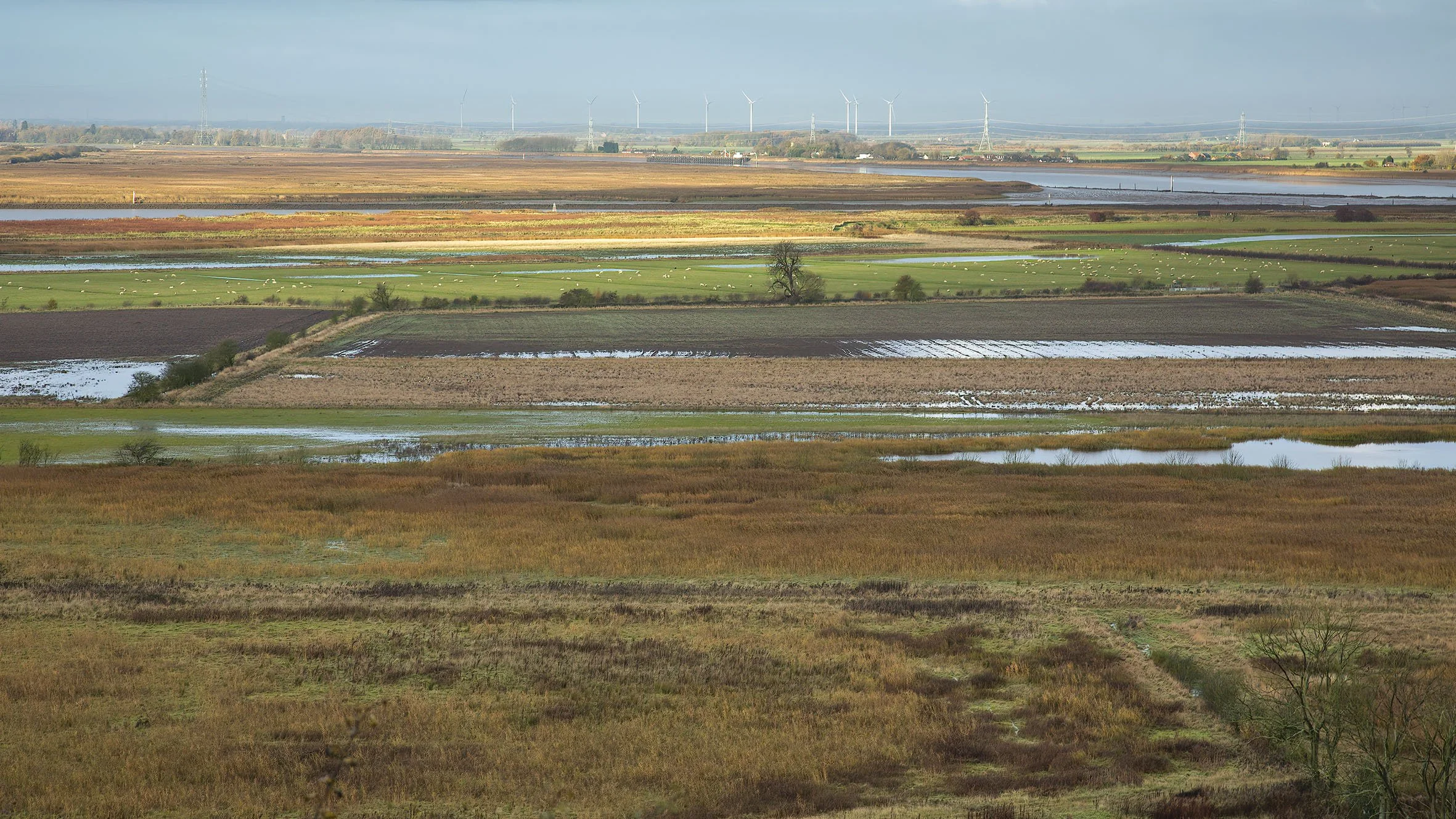
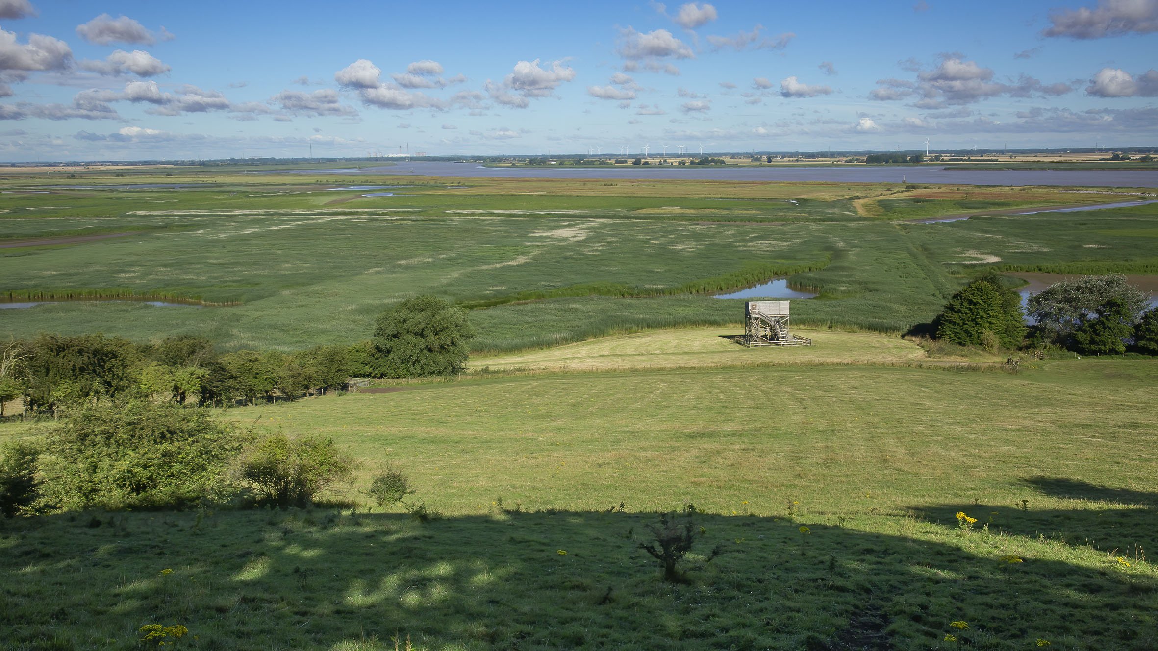
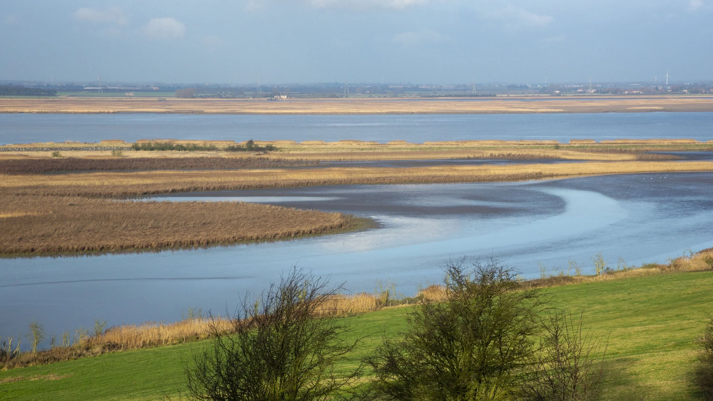
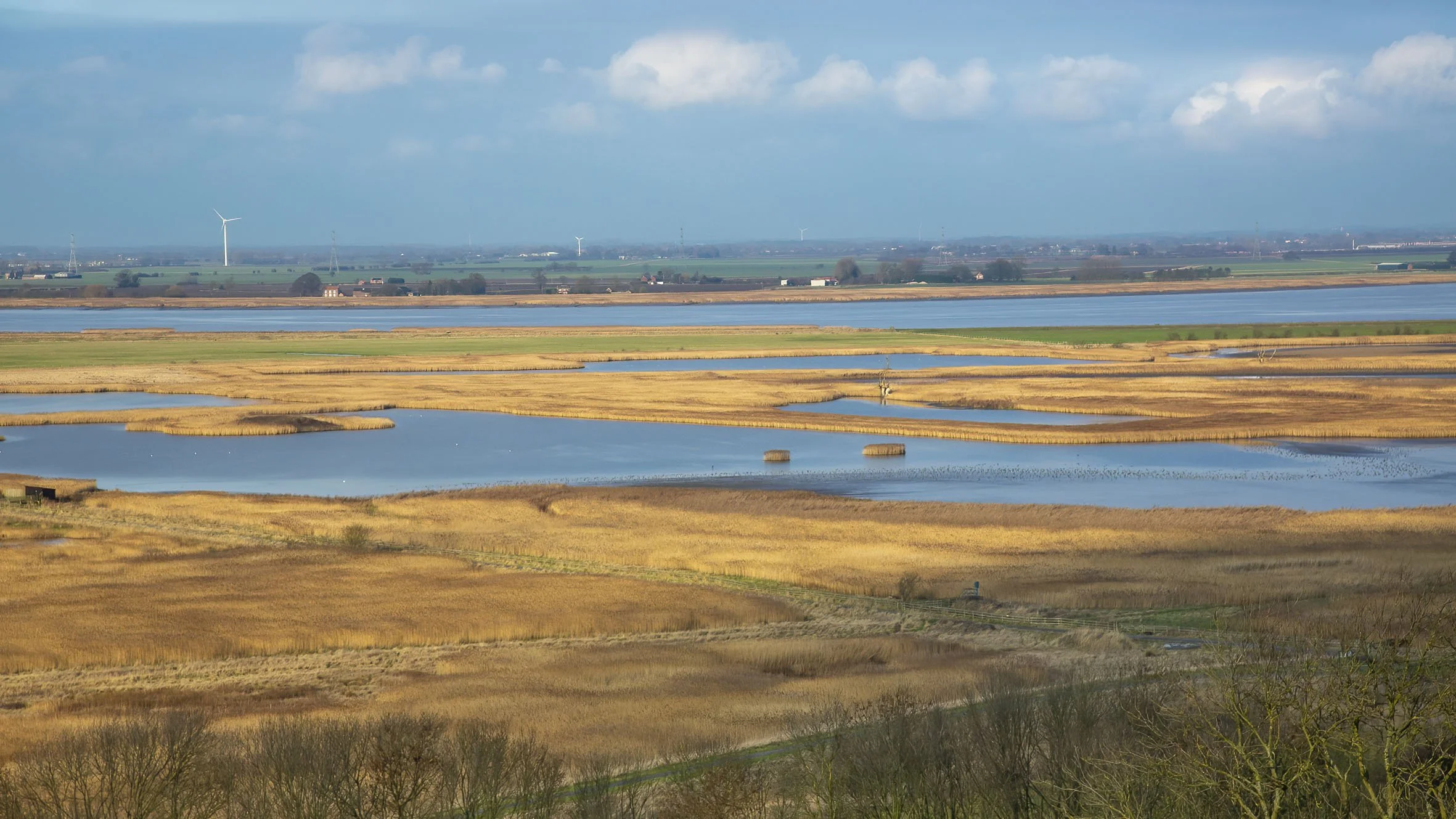
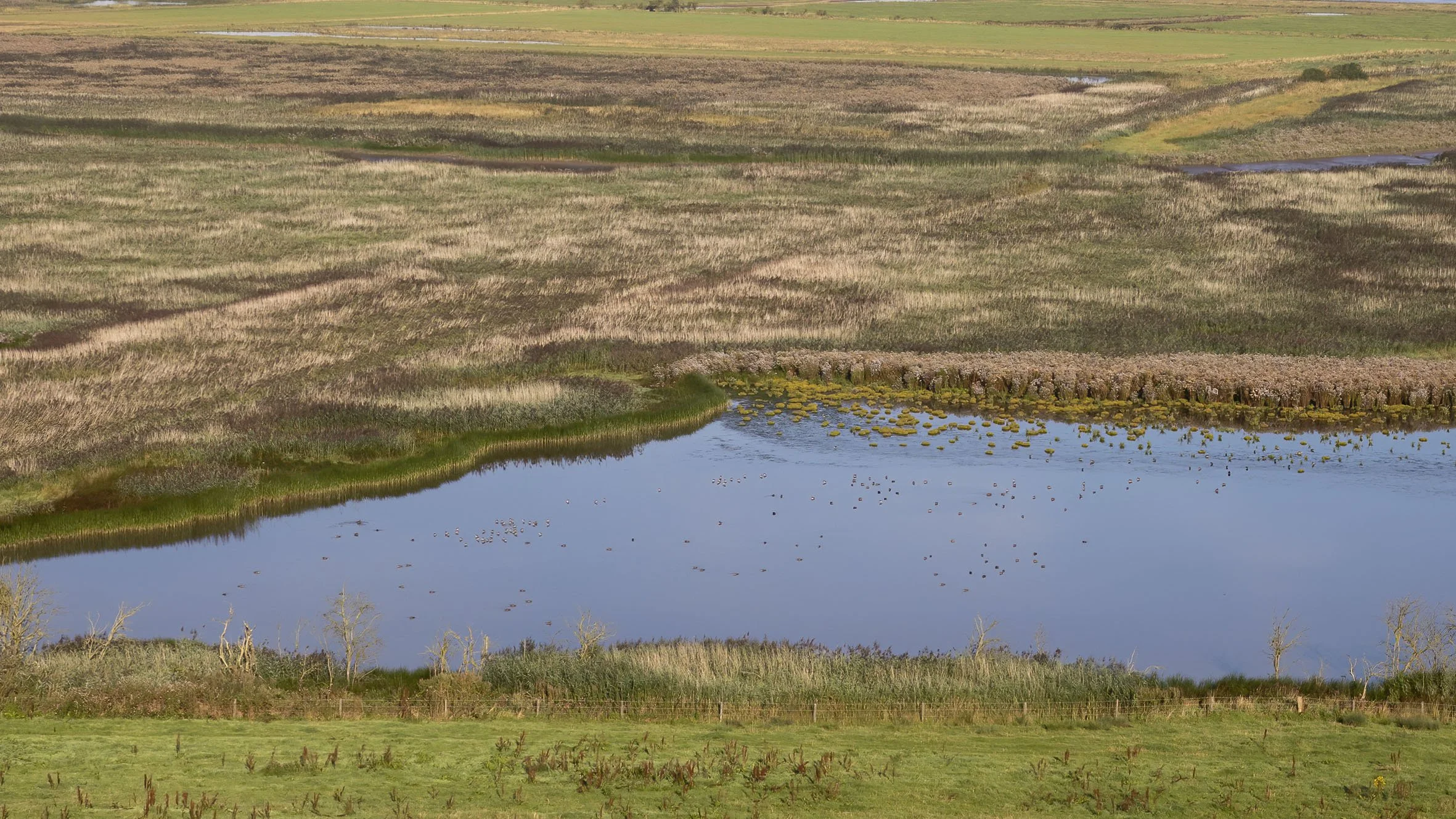
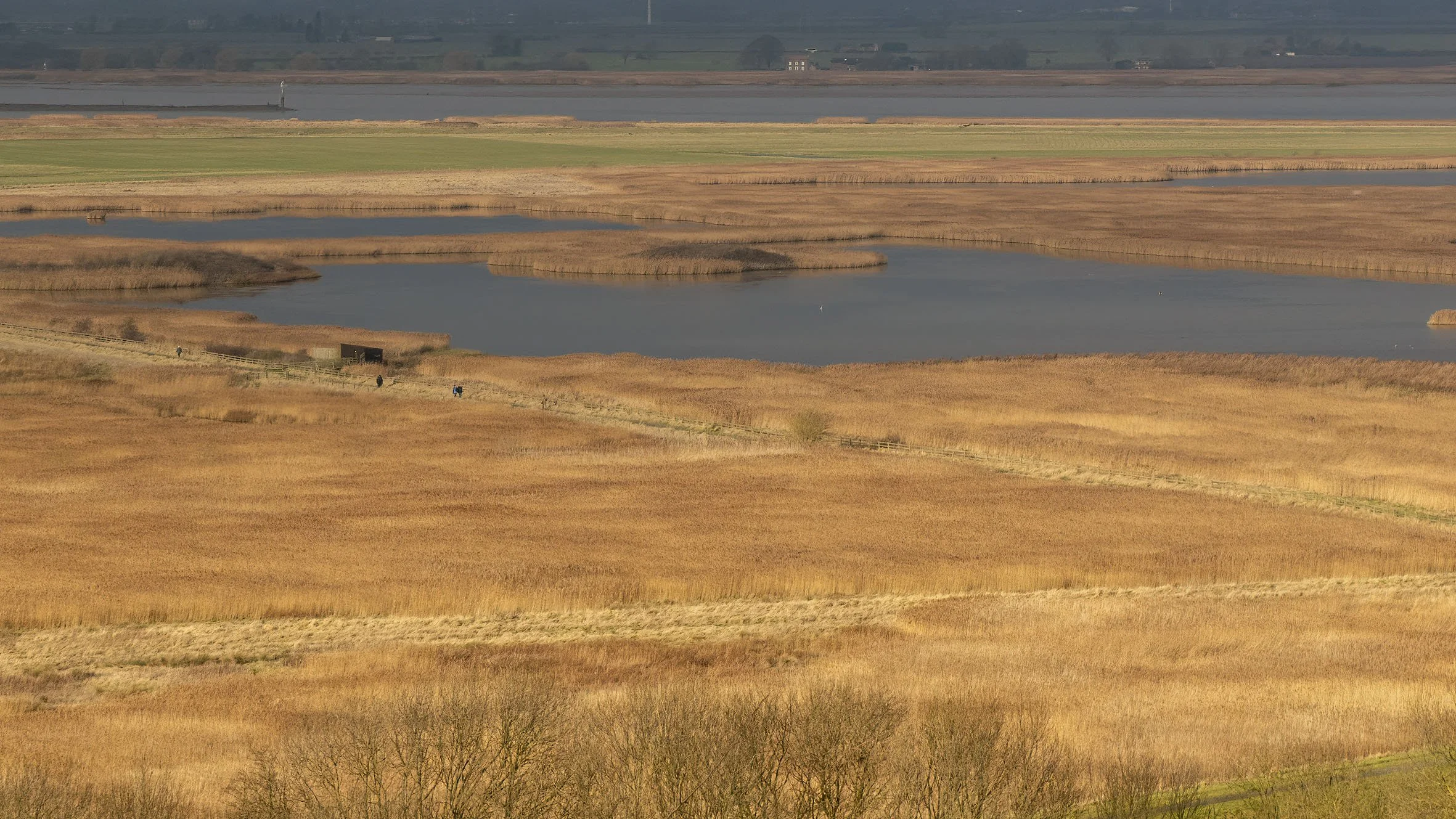
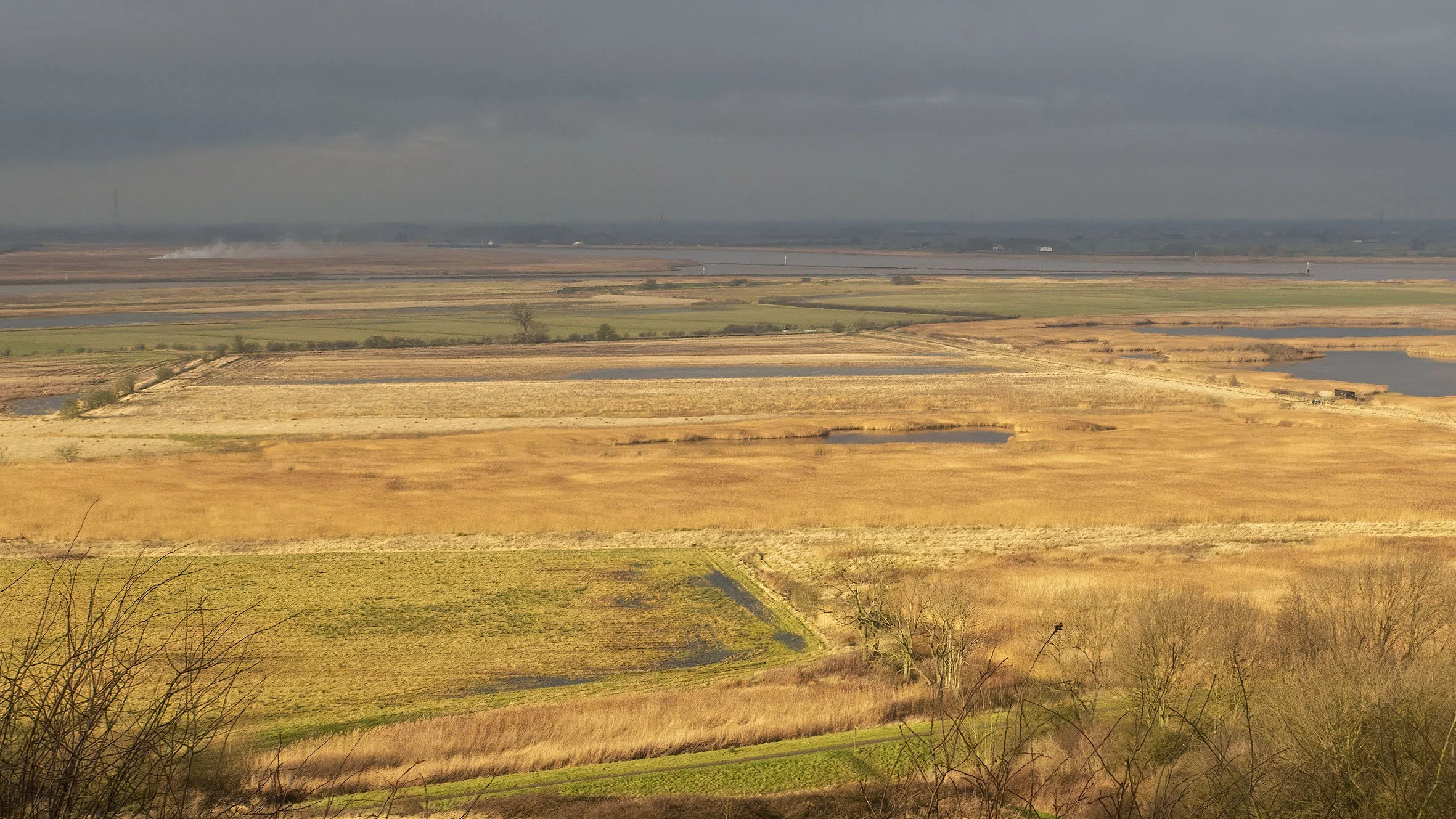
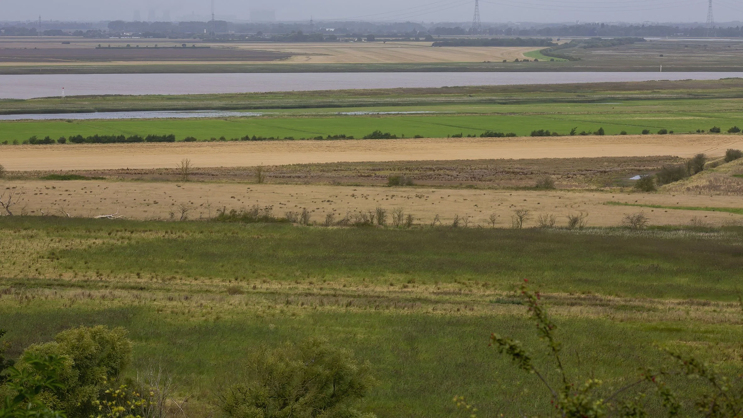
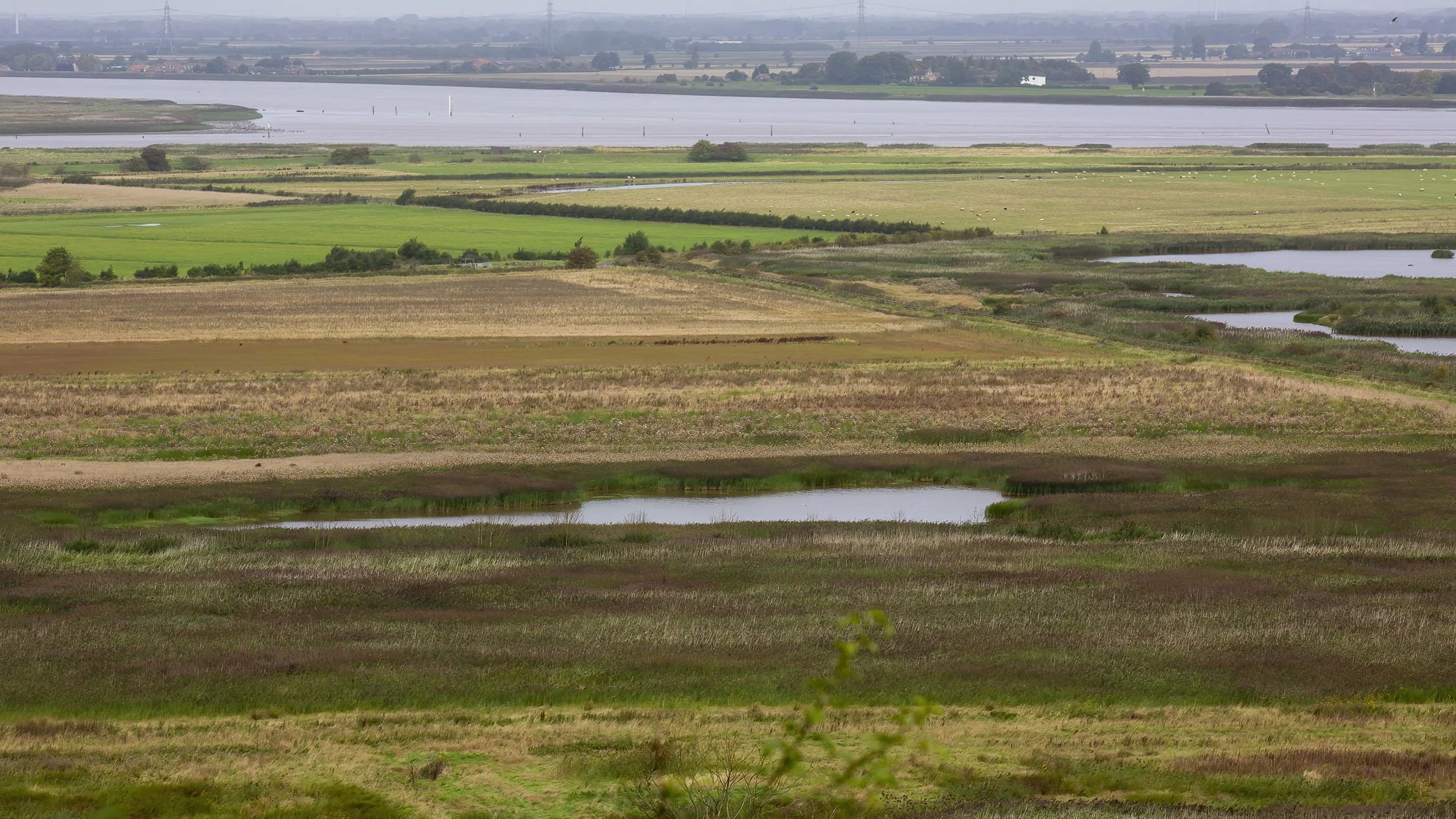
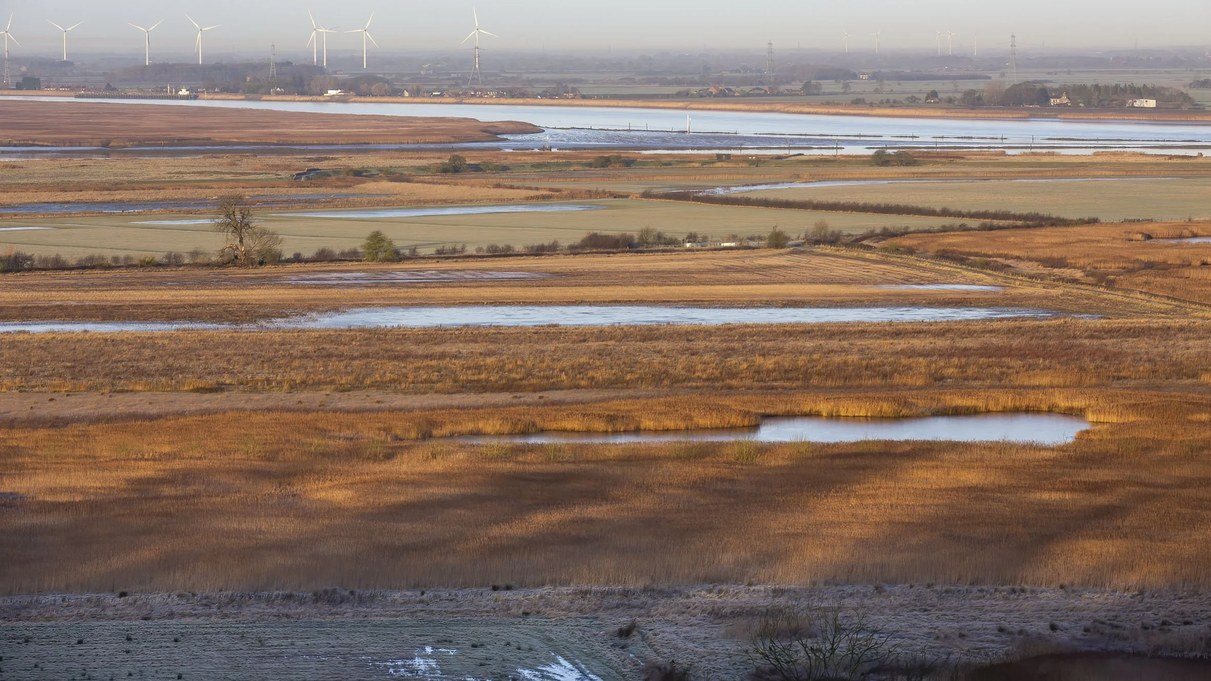
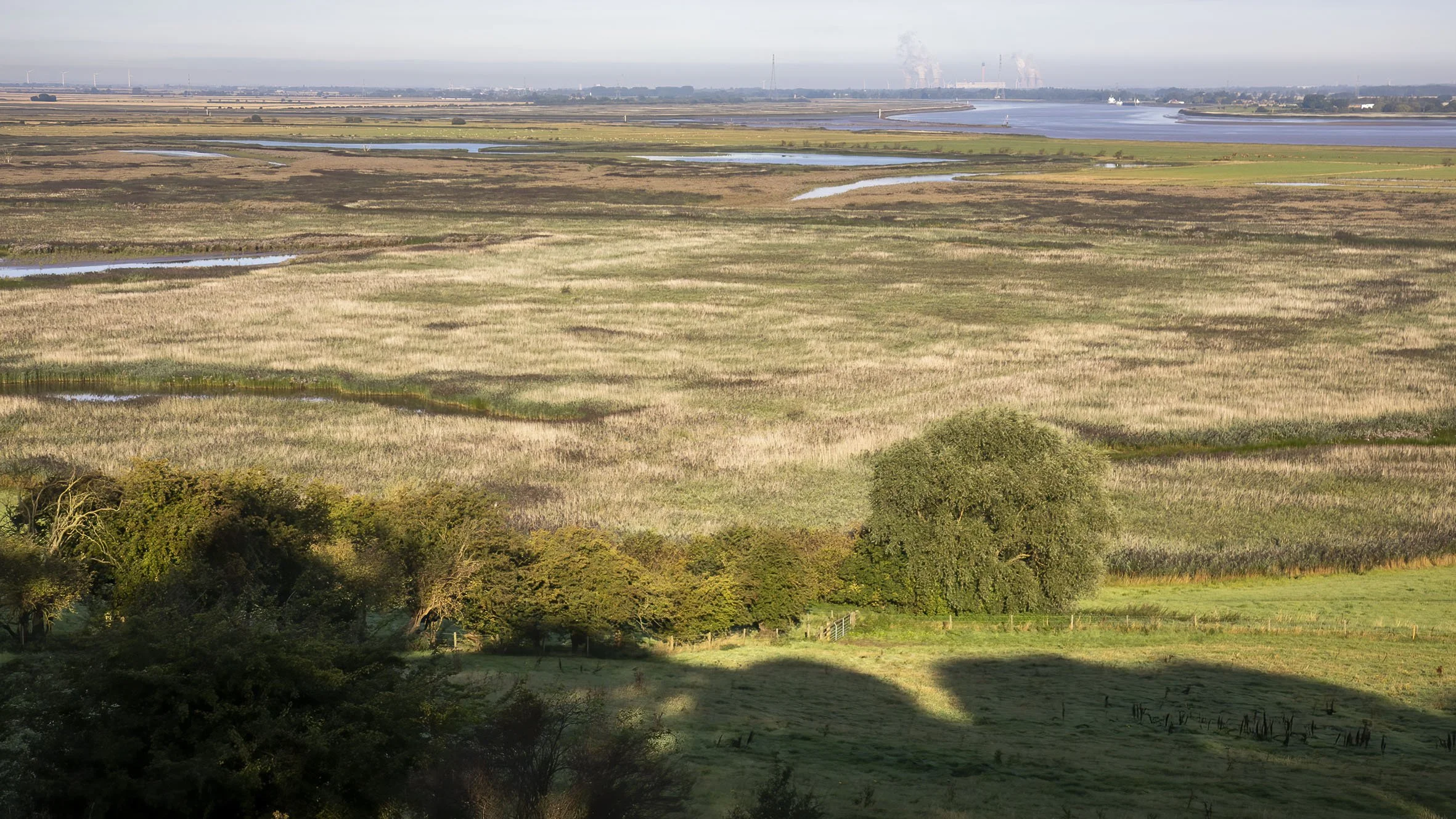
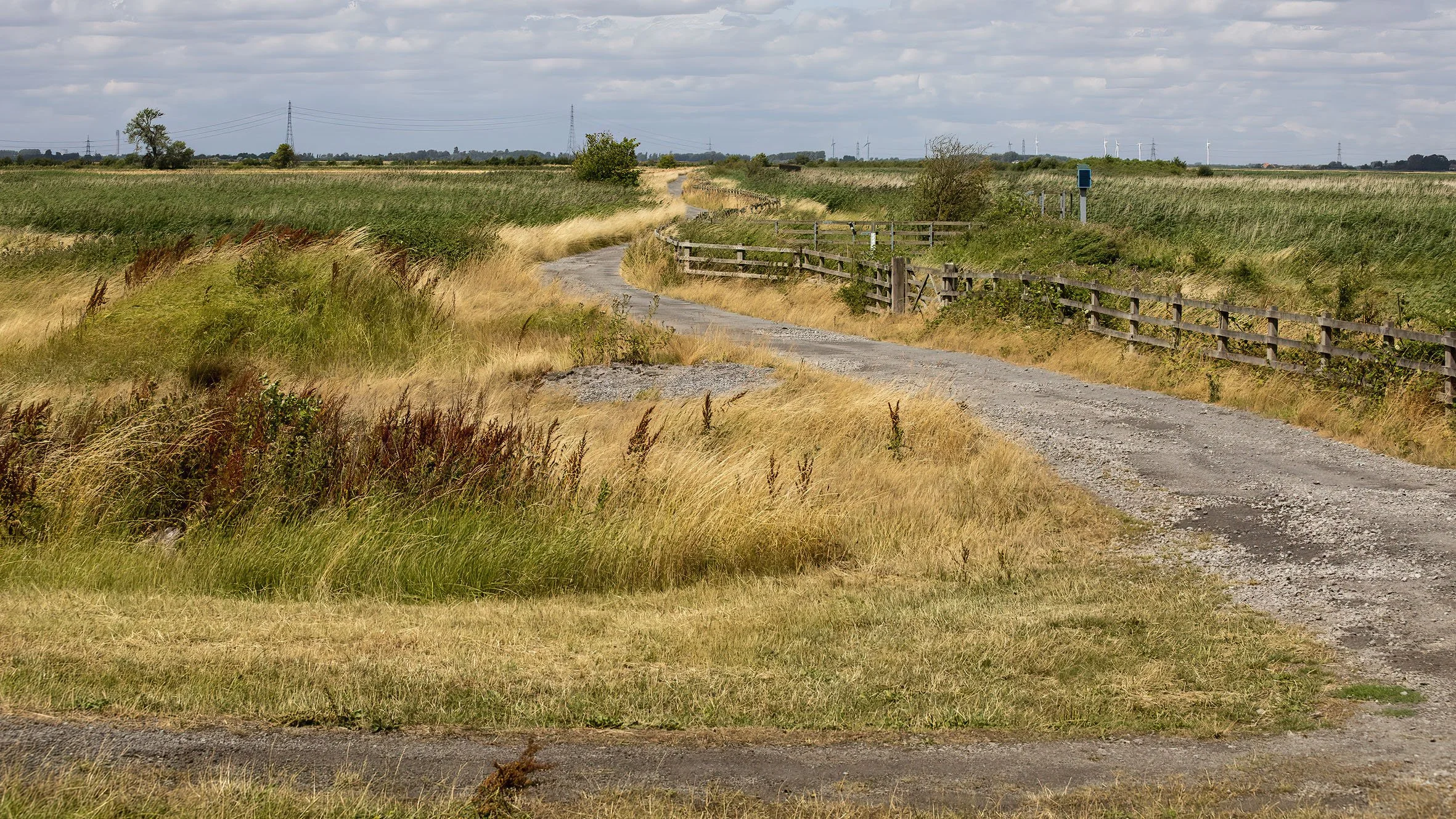
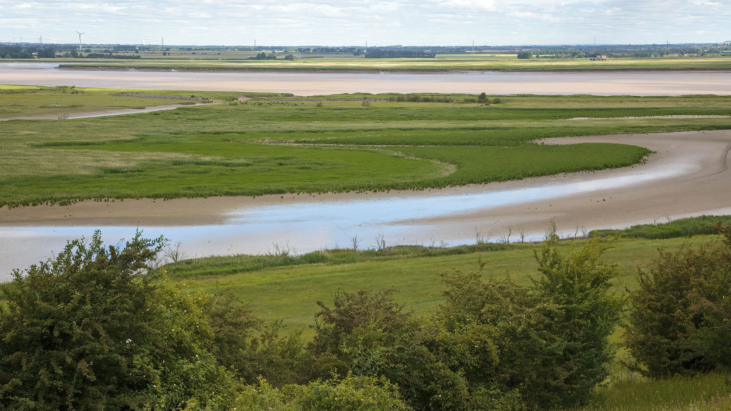
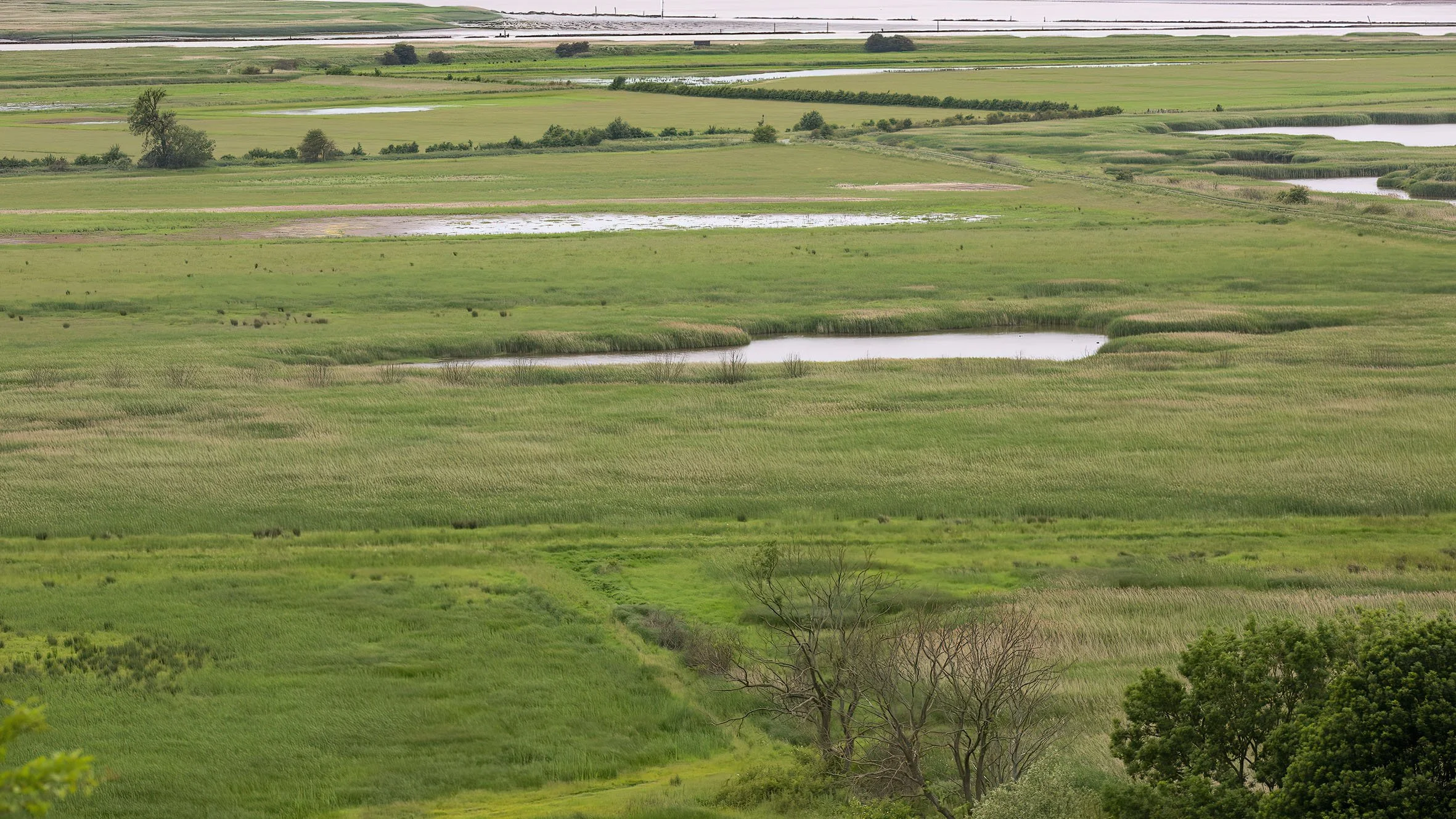
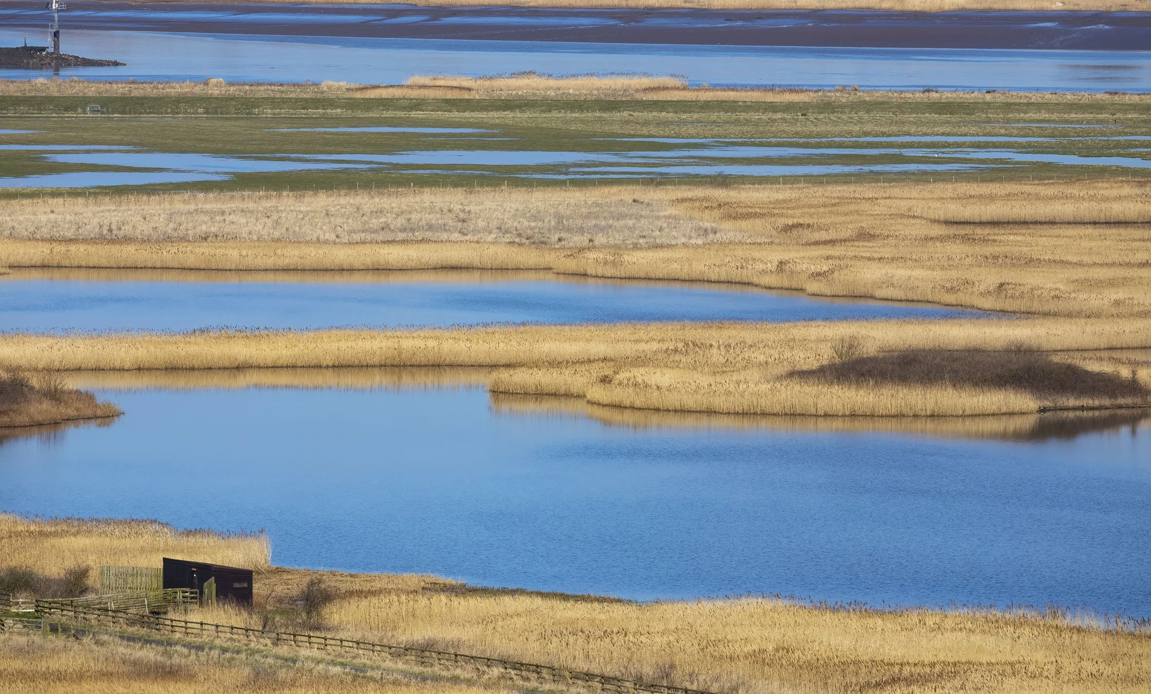
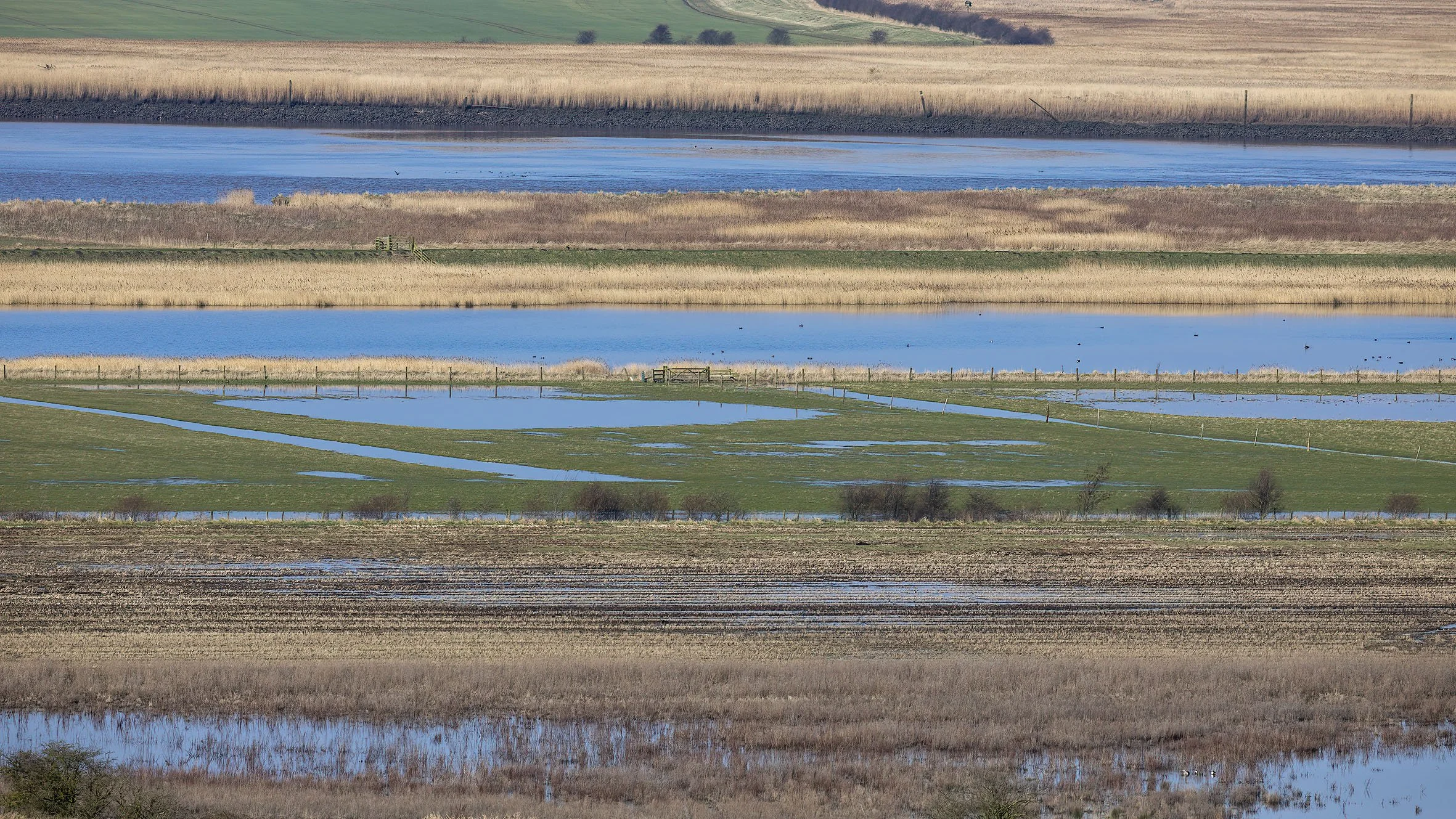
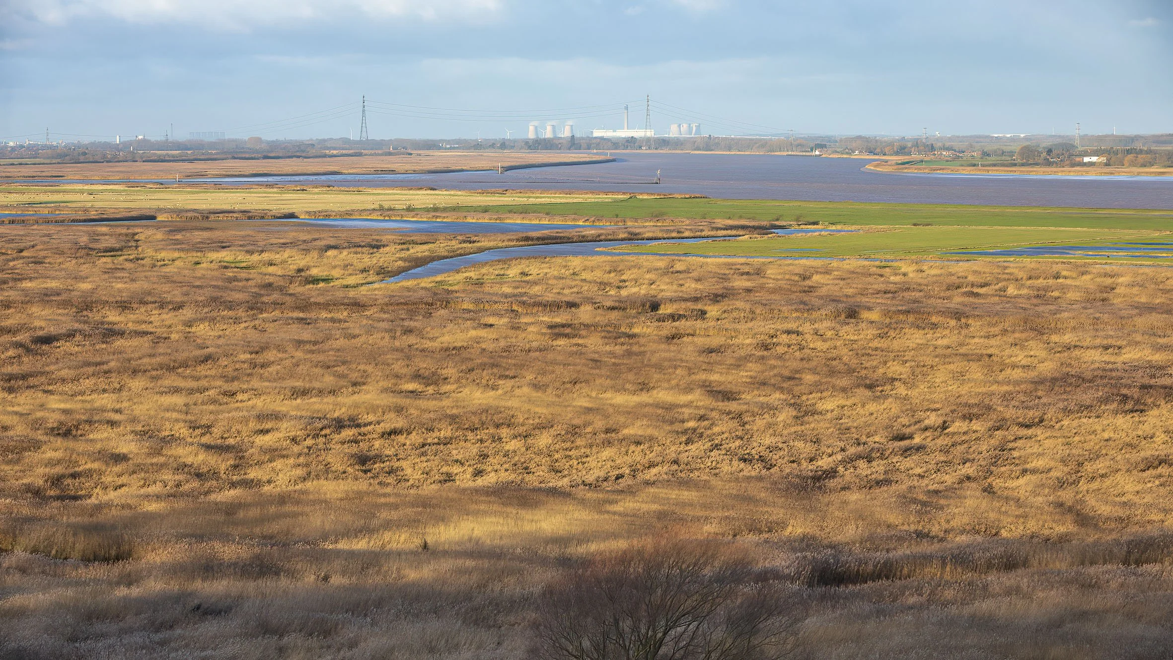
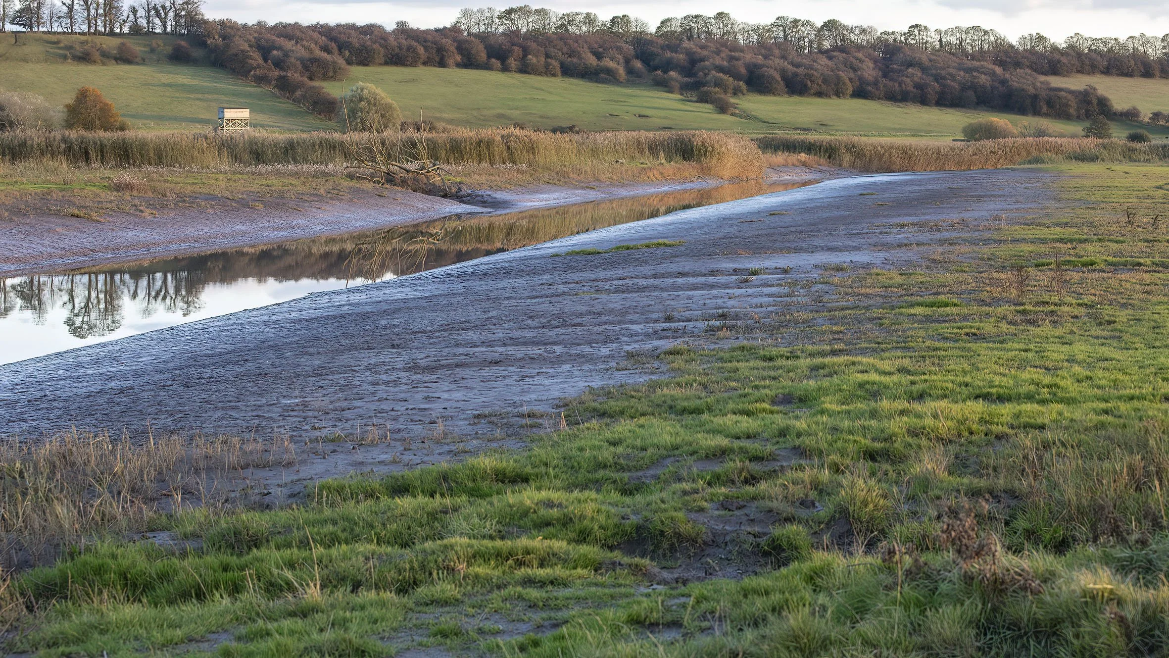
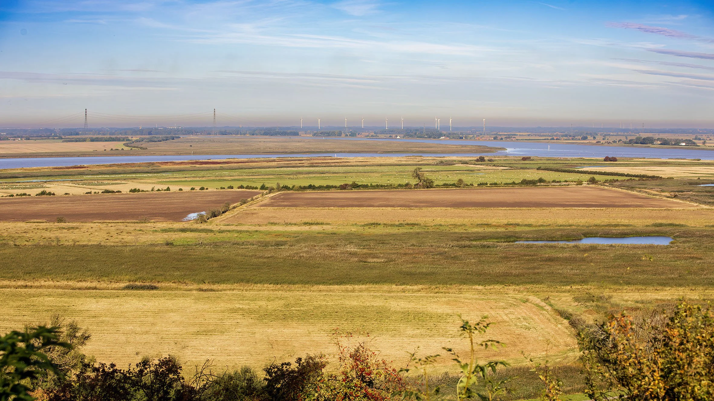
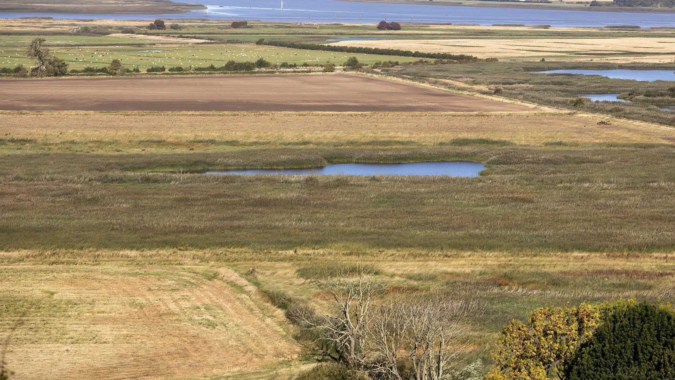
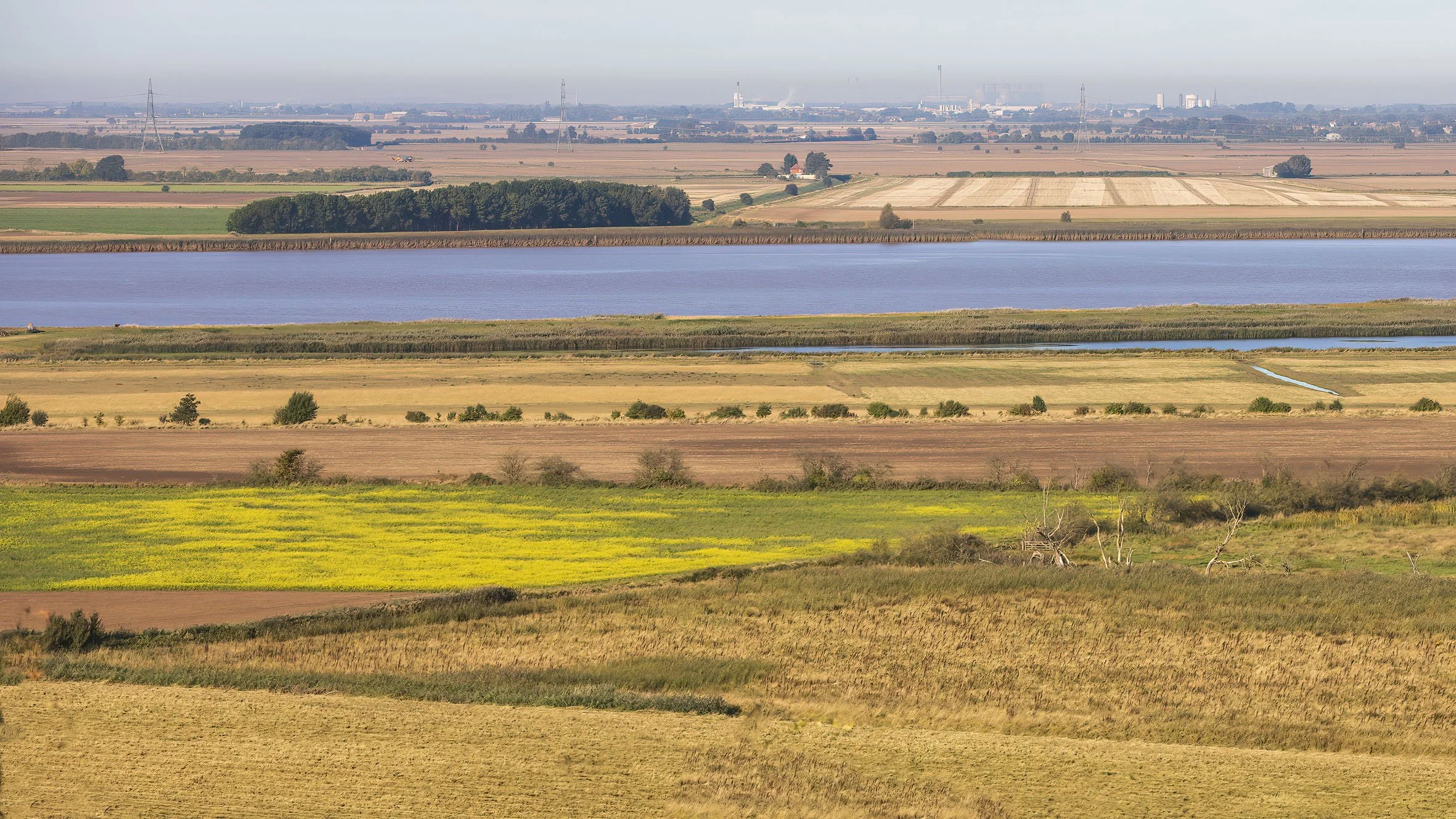
Alkborough Flats Managed Realignment site
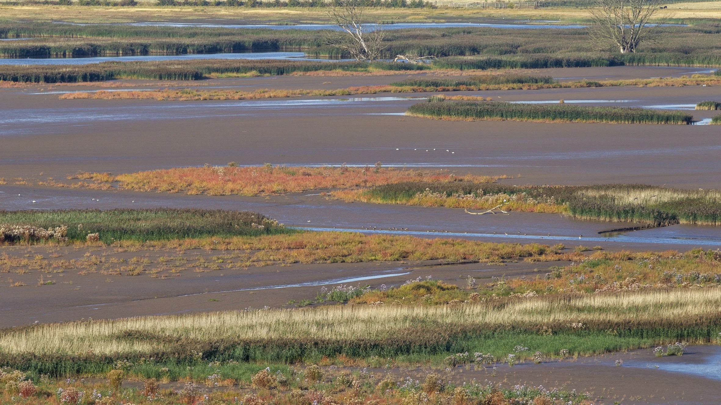
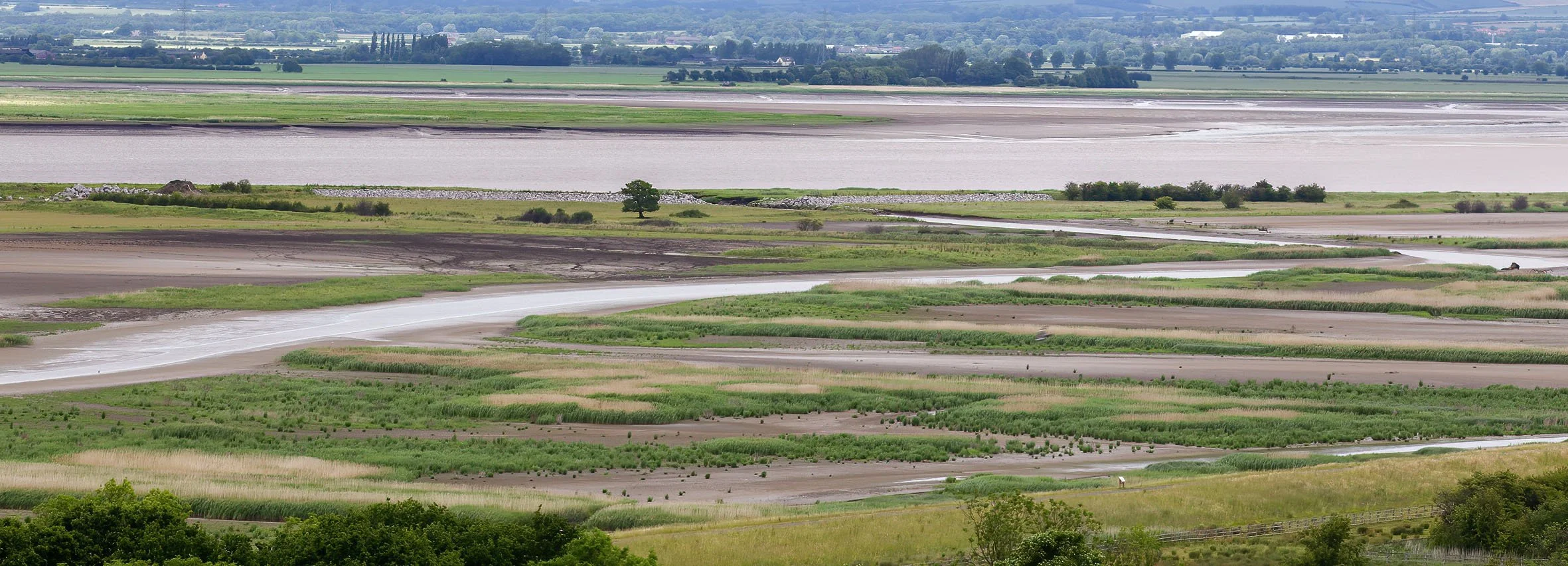
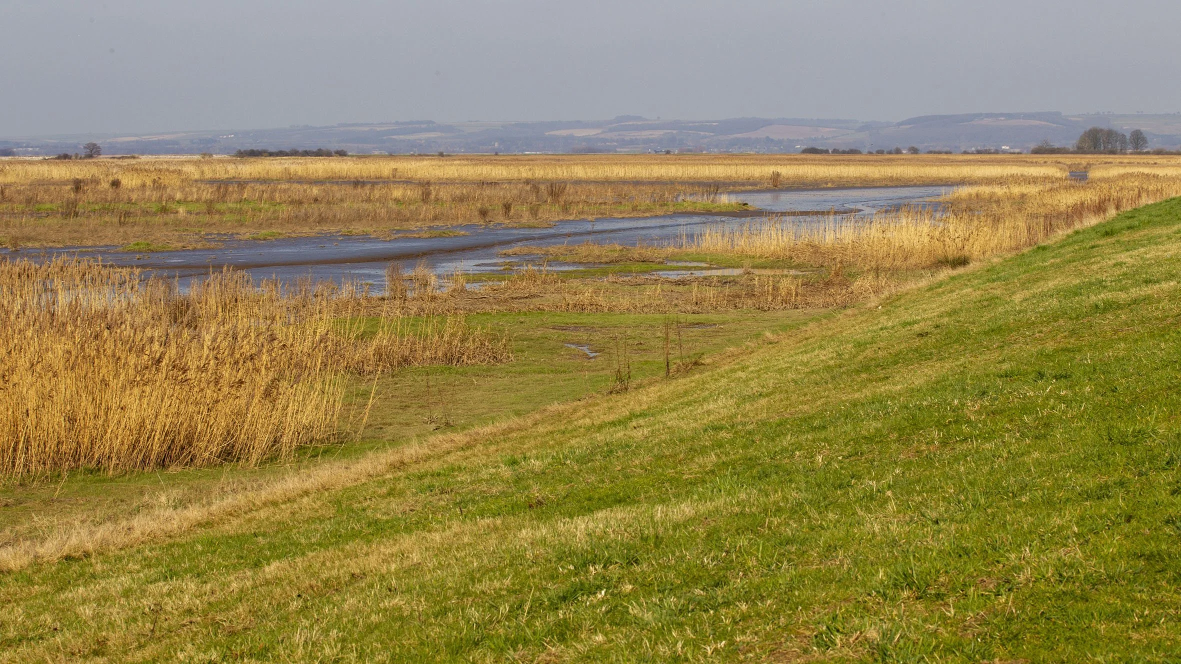
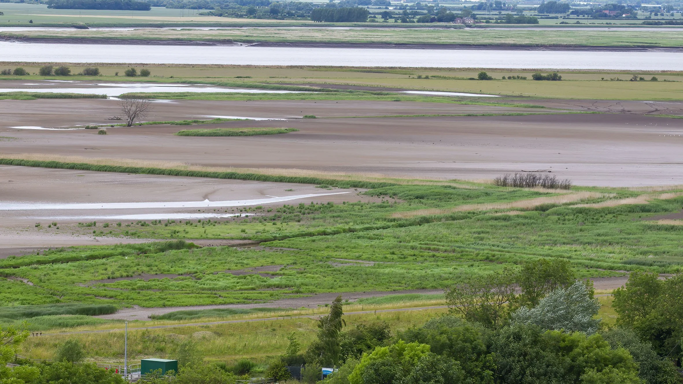
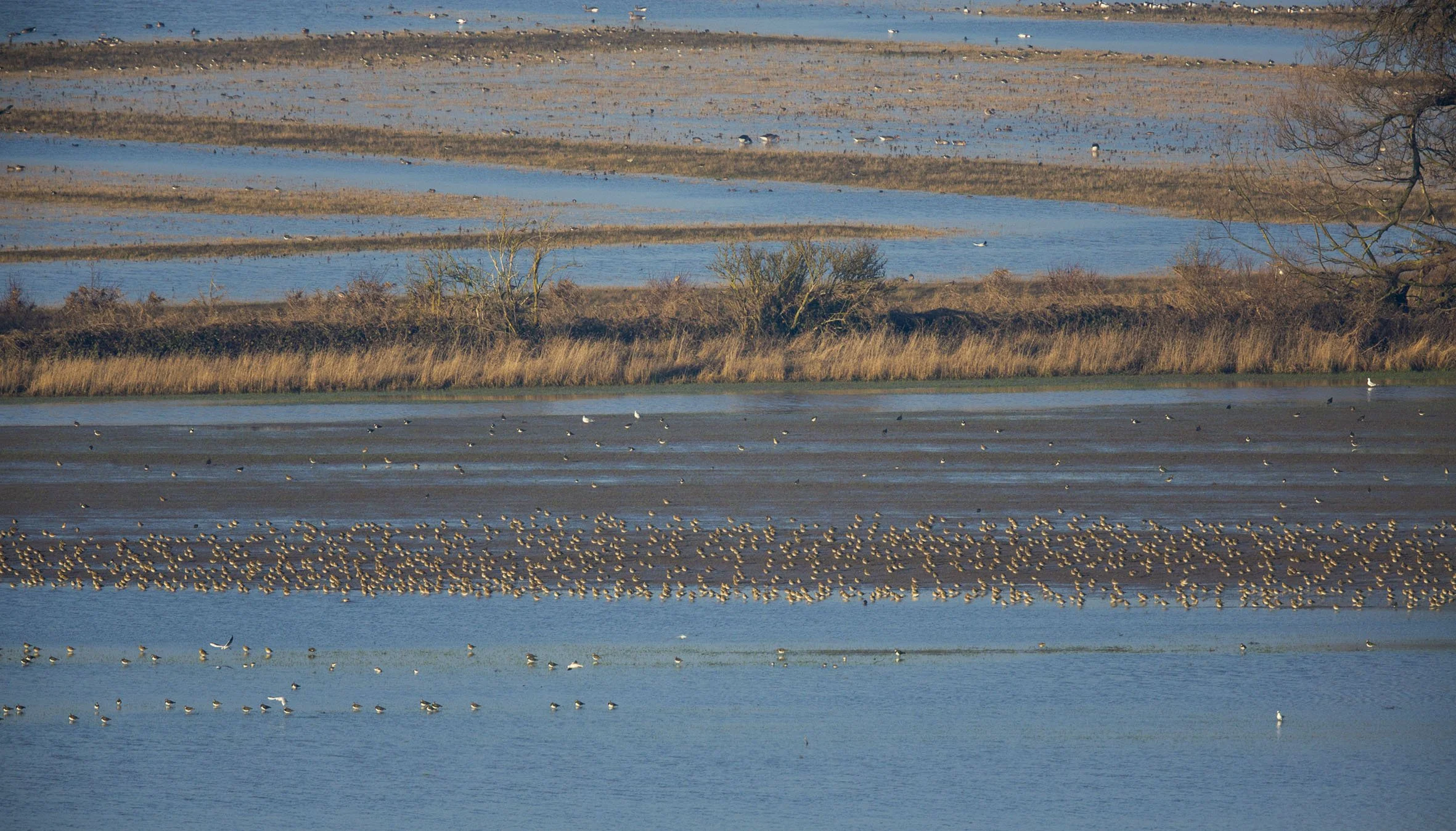
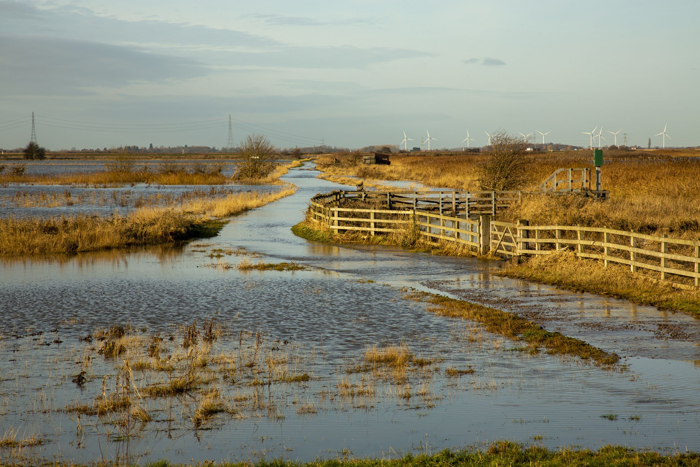
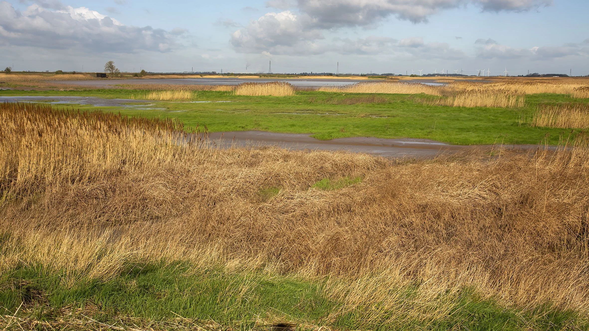
This is one of the largest such sites in Britain created and first flooded in autumn 2006 the 440 hectare site has been one of my major work sites for the last 15 years. Mainly charting the fortunes of the wildlife that have used the site I have also attempted to chart the development of the site through photography over the period and the sections below show a variety of images of the site taken through those 15years.

2006
The Humber was breached for the first time on spring tides in early September when these images were taken.


2007


2008


2009


2010


2011


2012


2013
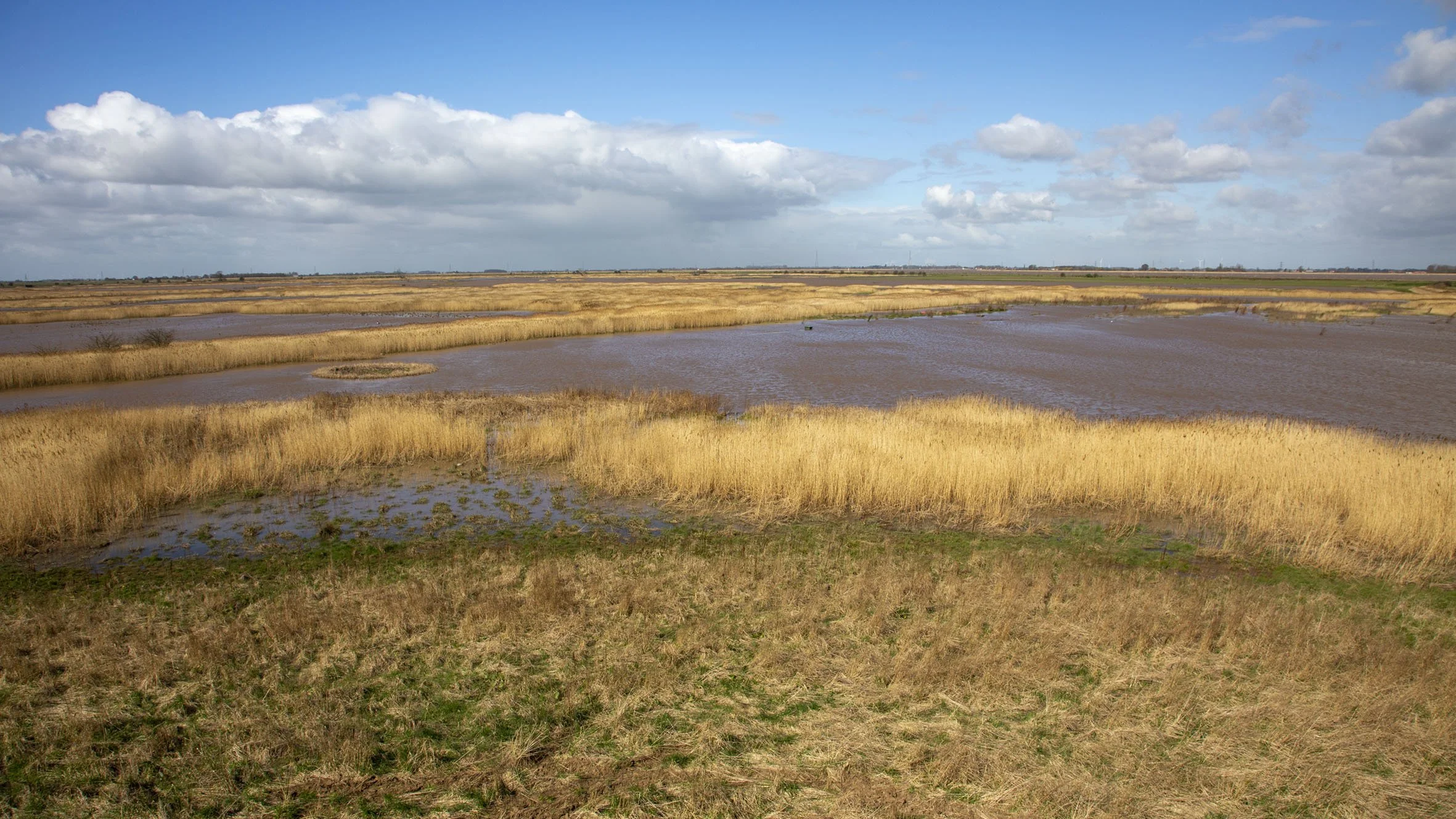


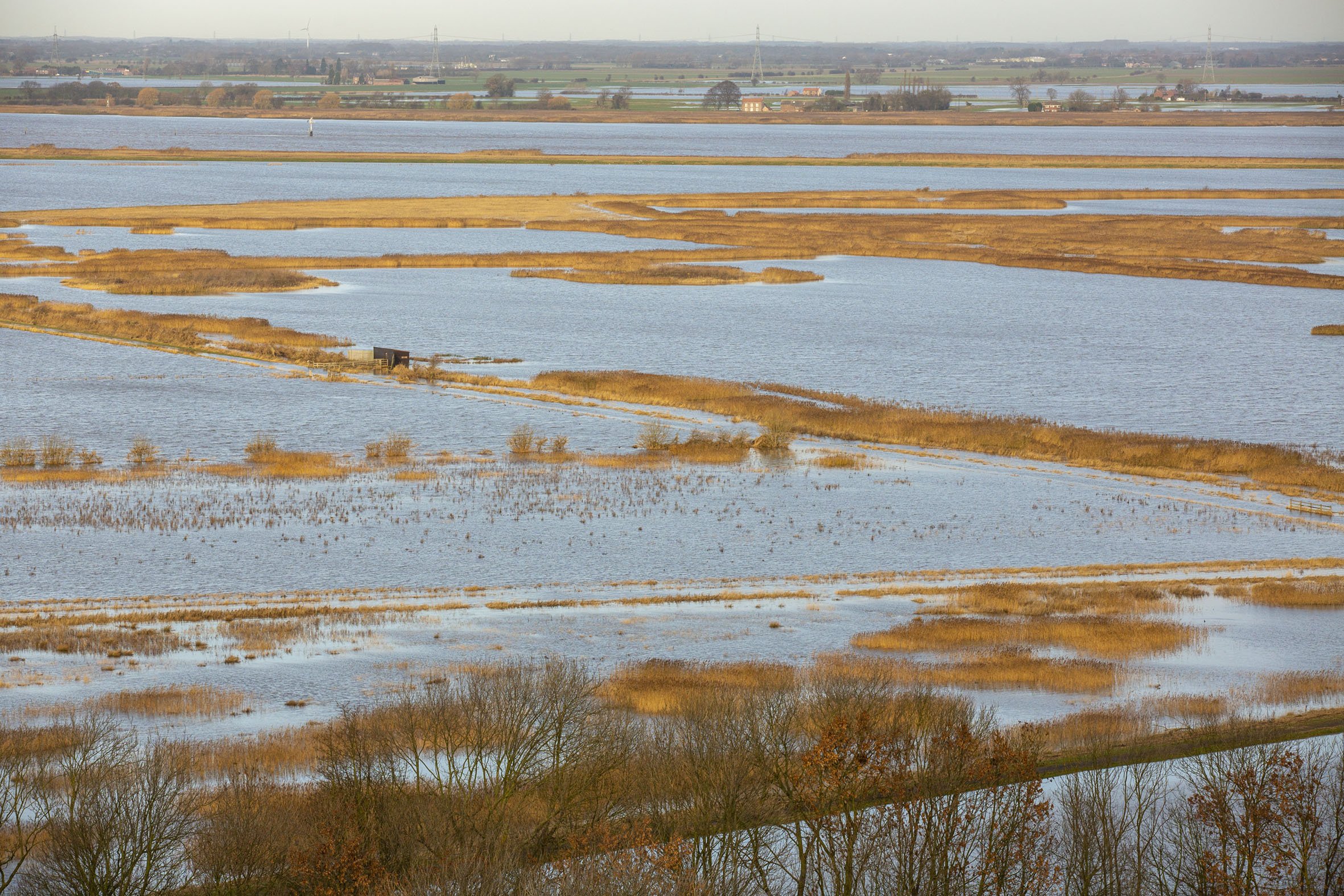
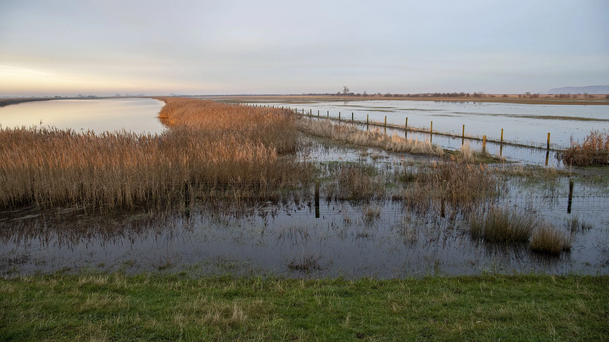
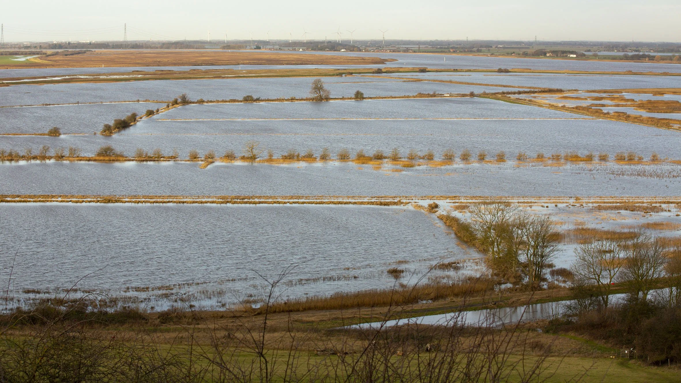
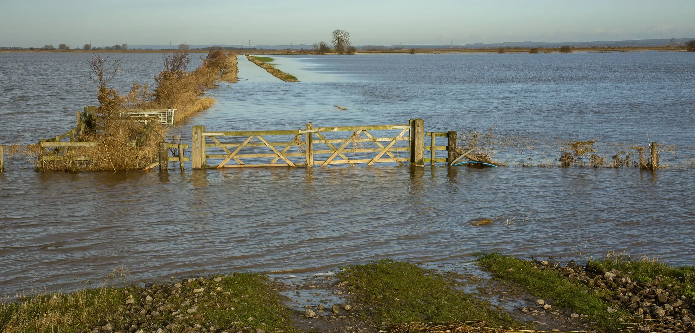
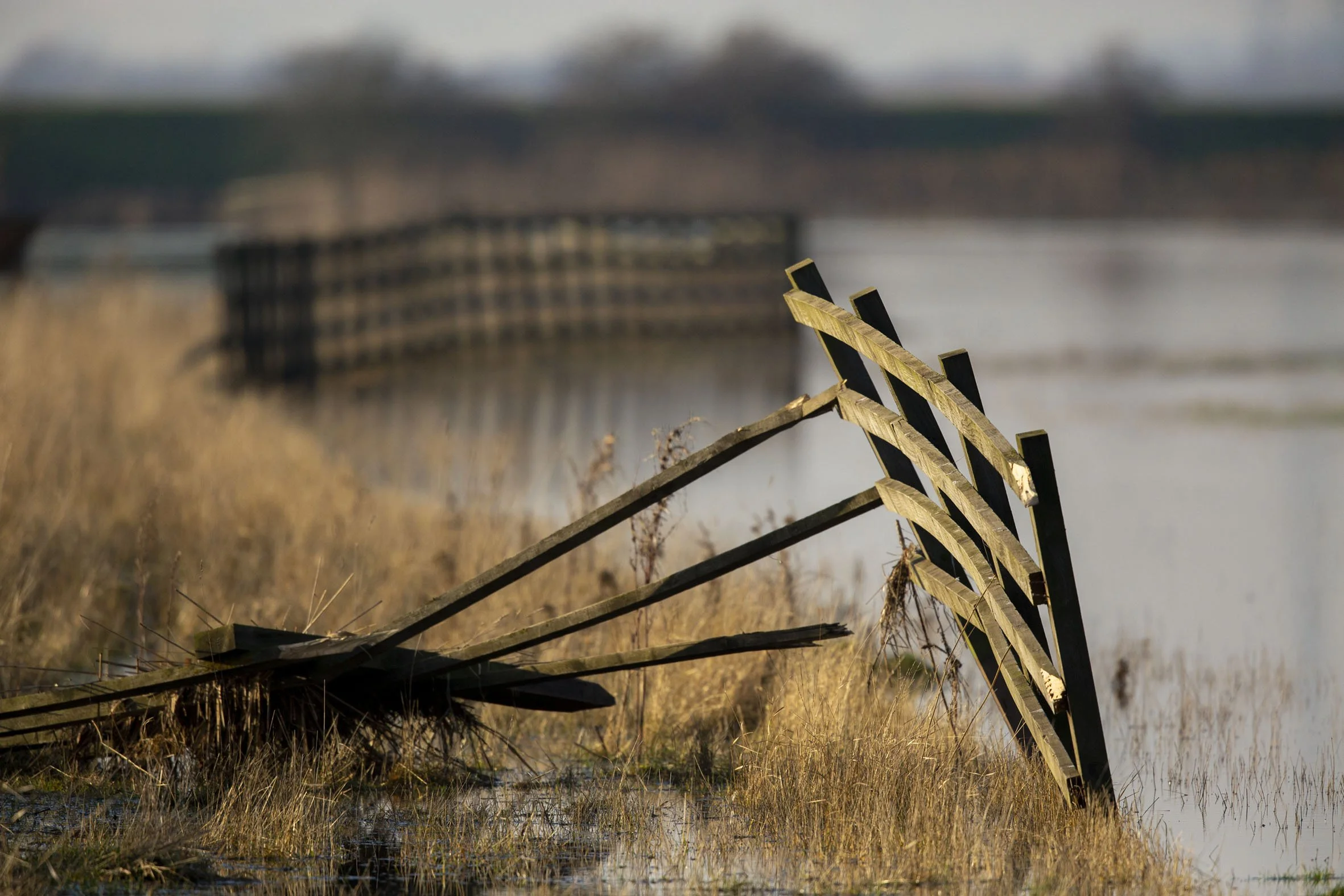
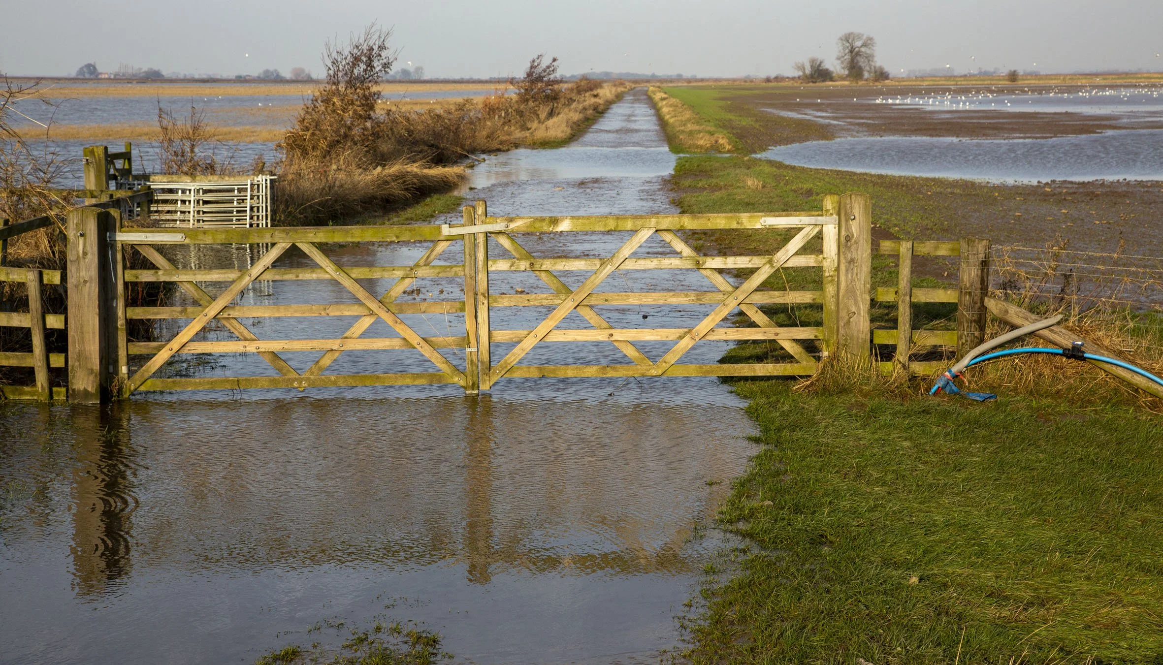
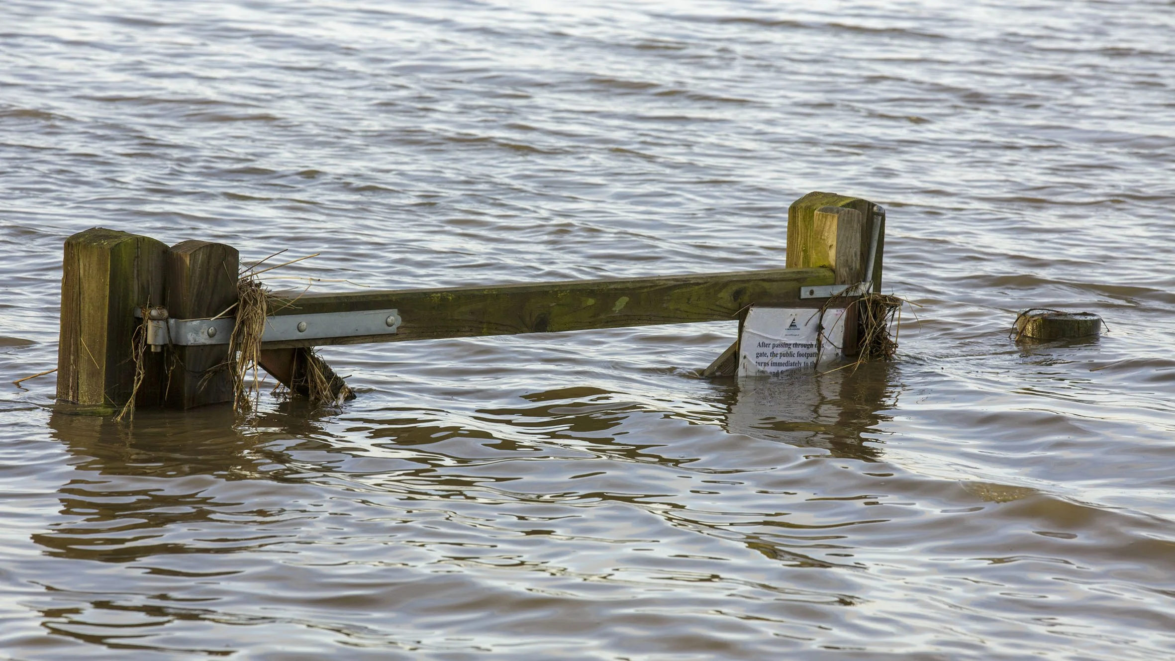
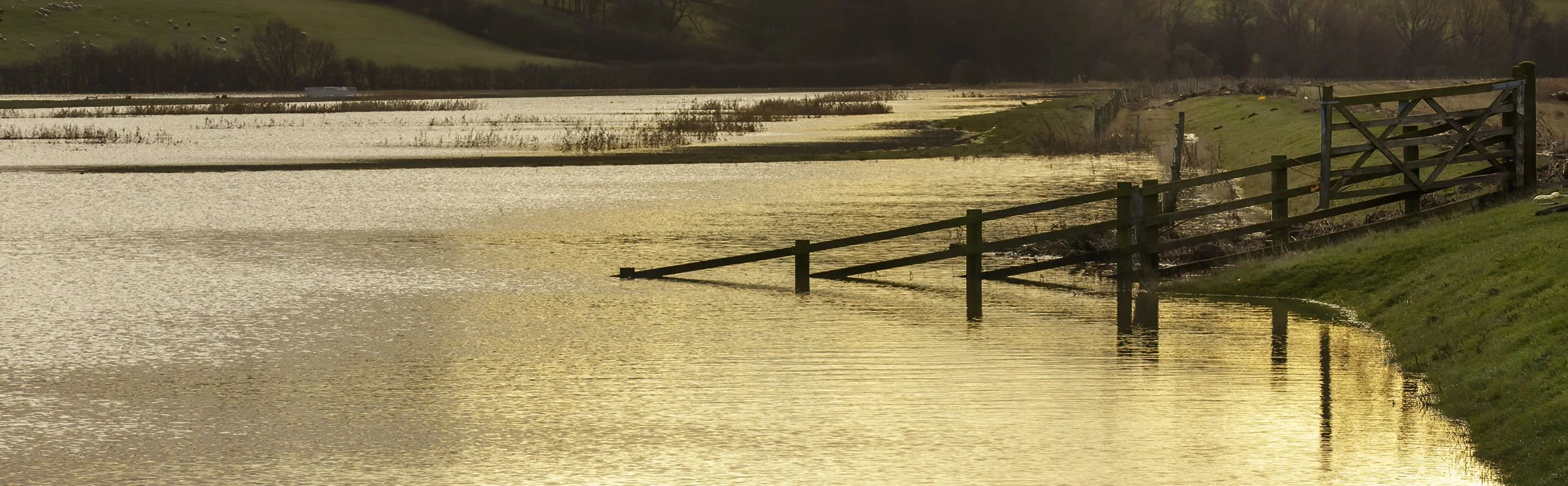
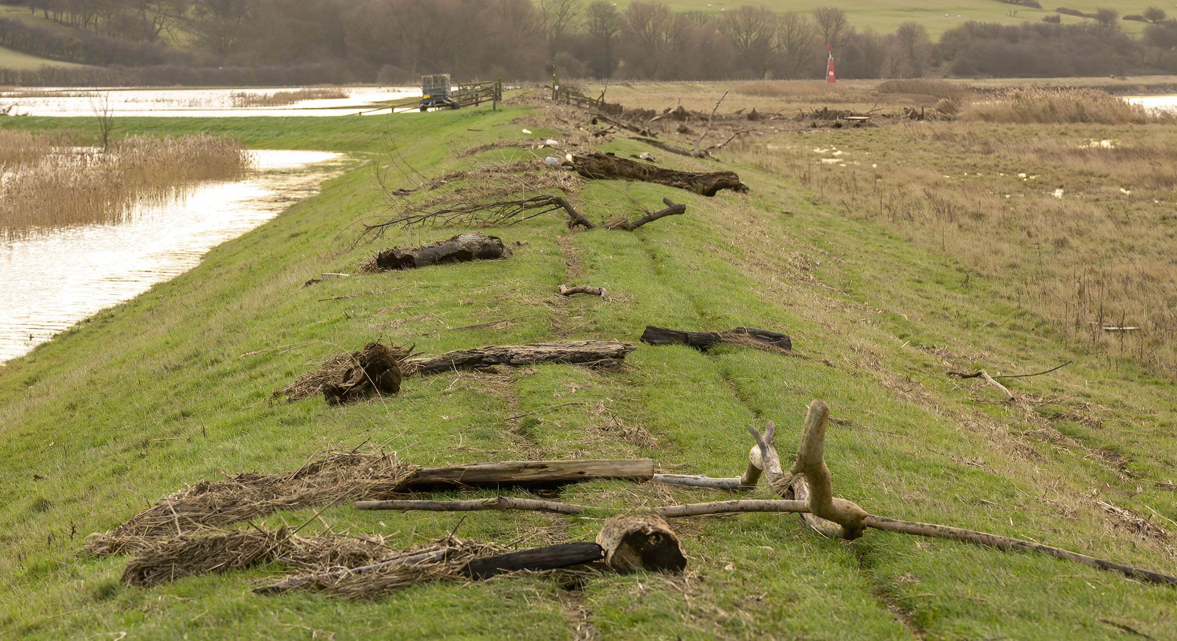
2013 Tidal surge
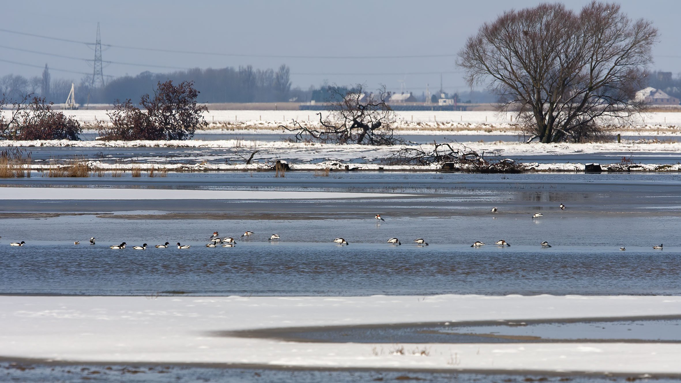
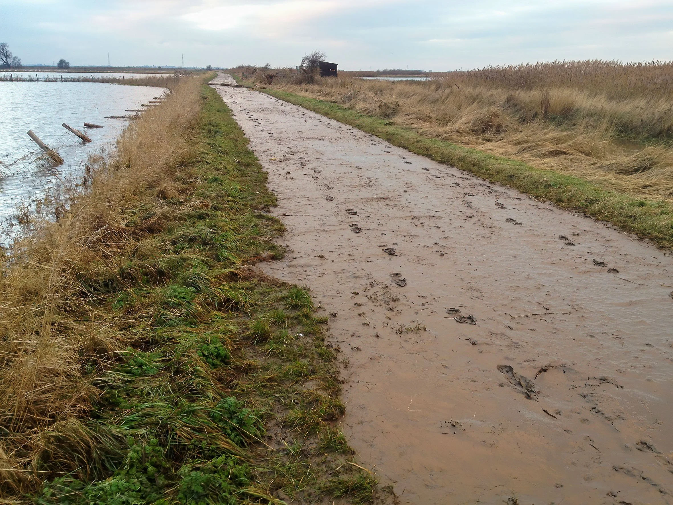
The largest tidal surge for 60 years hit the East coast on the night of December 5th 2013 flooding the Flats to a depth of up to 2m and pushing an estimated 8 million gallons of water onto the site in a few hours; the images below were taken on the 6th and 10th showing the impact of the surge on the site. Damage caused by the surge resulted from the deposition of massive amounts of silt as well as tidal debris up to the size of mature trees producing considerable damage to the site infrastructure that took six months to clear.


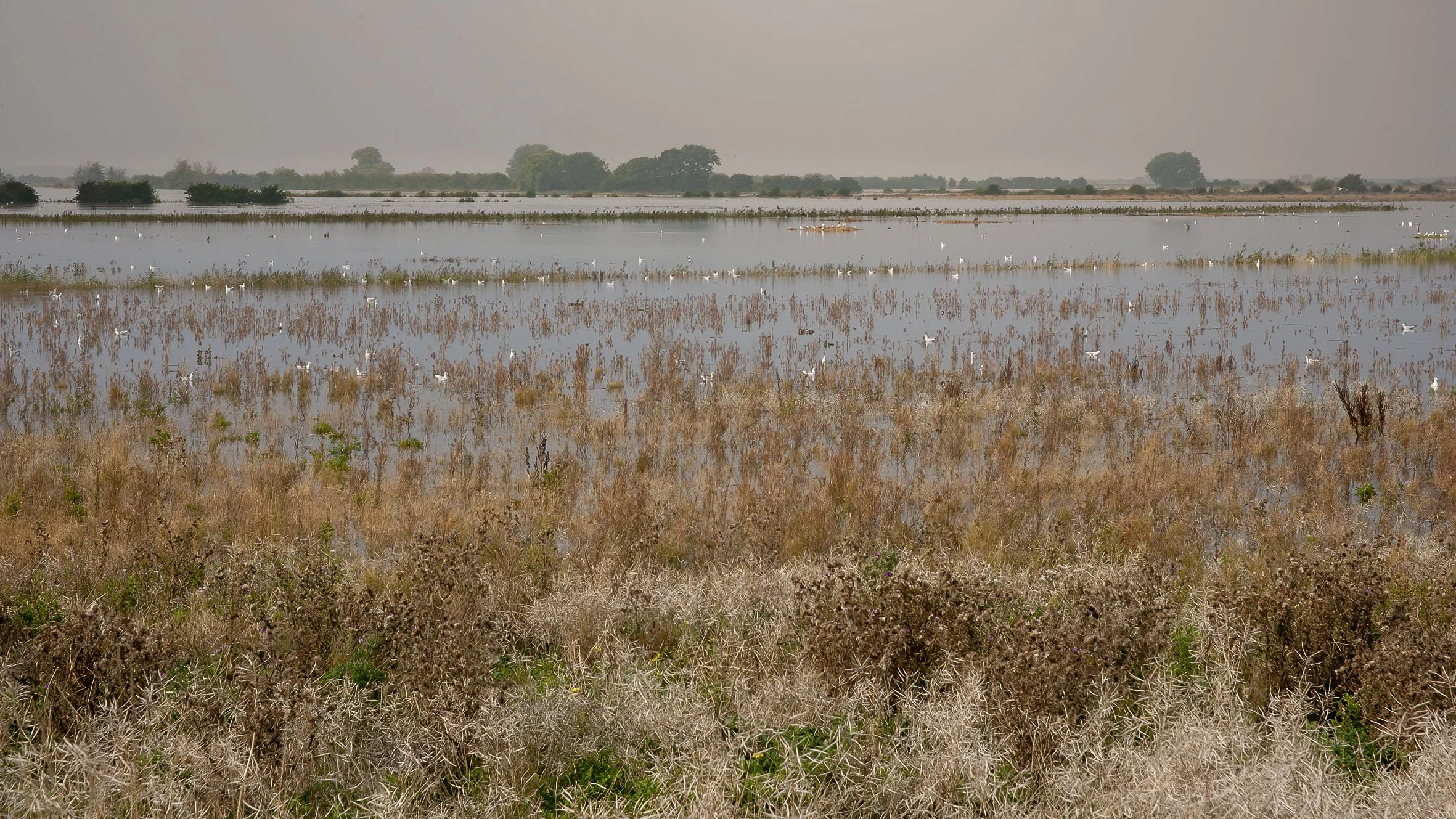
2014


2015


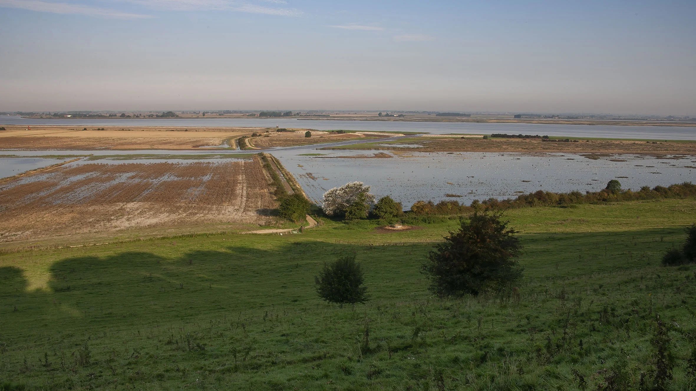
2016


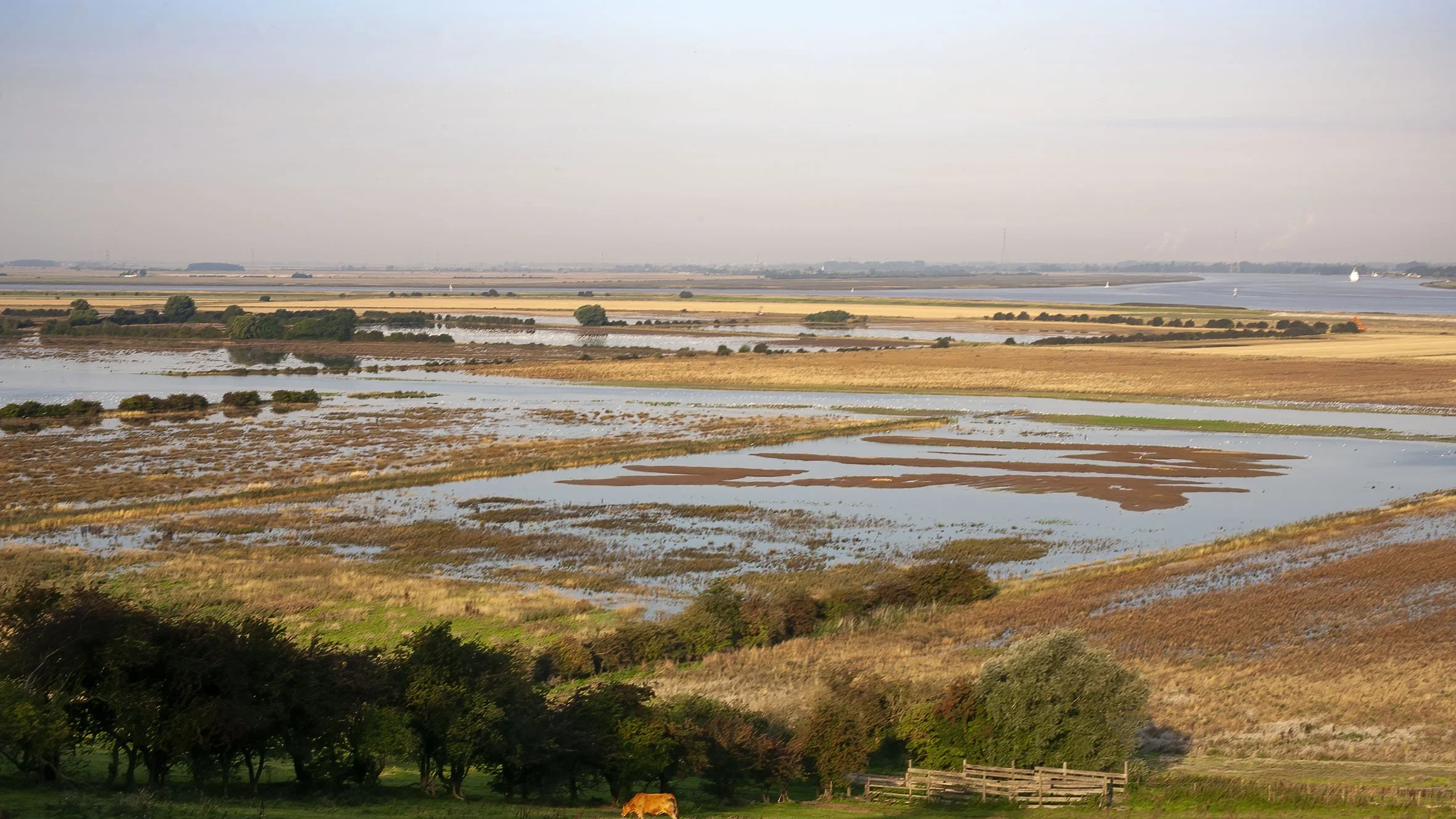
2017


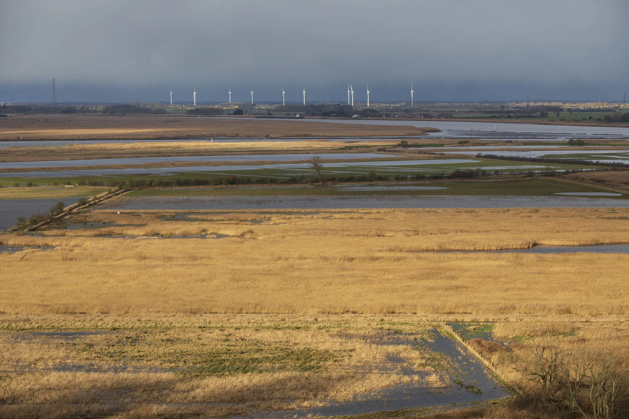
2018


2019